Austell covers about 6.3 square miles, almost all of it in Cobb County with a small piece across the line into Douglas. Totaled from 2020 census blocks, the population inside the limits is roughly 7,500 people in about 2,800 housing units, which is around 460 homes to the square mile and the thinnest spread of the four incorporated towns down here. Better than three quarters of that housing is detached single family, and close to 45 percent of it predates 1980. Big yards, older houses, low ground. Legacy Land Care works Austell out of Rome for exactly what that combination produces: water problems, yards that need reshaping, and drives that sink. The owner, John Mulkey, is also the operator.
Three Creeks End Inside the City Limits
Most towns have a creek. Austell has a confluence. Sweetwater Creek carries about six and a quarter miles of channel inside a city of six and a third square miles, which is roughly a mile of creek for every square mile of town. And three other named streams reach their mouths here rather than passing through: Powder Springs Creek, Noses Creek, and Olley Creek all end at Sweetwater inside these limits. Buttermilk Creek adds another stretch.
Every subwatershed touching the city belongs to the same family. Grid the place and about 58 percent of Austell falls in Lower Sweetwater Creek, about 17 percent in Powder Springs Creek, about 12 percent in Middle Sweetwater Creek, about 9 percent in Lower Noses Creek, and about 5 percent in Olley Creek. Every drop that falls on this town is headed for the same channel, and a good deal of what falls on the country west and north of here comes through on its way.
The Flattest Town on This Side of the County
Sampled across the city, Austell ground runs from about 875 feet to about 1,025 feet. That is roughly 150 feet of range, less than half what Marietta or Smyrna carry and about a third of what Mableton spans. Flat is comfortable to live on and difficult to drain.
Here is why that matters more than the number suggests. Drainage is not a product, it is fall. A yard with fall has options: a swale, a graded route, a line to daylight. A yard without fall has one option, which is finding the small amount of fall that does exist and using every inch of it deliberately. On an Austell lot the difference between a fix that works and one that fails is often two or three inches of elevation across sixty feet, which is why this work gets shot with an instrument instead of judged by eye. Drainage and water control here starts by finding out whether there is anywhere for water to go at all.
A Quarter of the Town Is Bottom or Terrace Soil
The soil survey clipped to the city limits covers about 4,100 acres, and roughly a quarter of that is ground the survey describes in terms of water. About 380 acres are Altavista, a terrace soil in hydrologic group C, including a unit named as occasionally flooded. About 250 acres are Toccoa, also rated occasionally flooded. About 180 acres are Cartecay, rated frequently flooded. About 170 acres are Roanoke silt loam, which the survey classes poorly drained, the largest Roanoke acreage of any town in this part of Cobb. Add roughly 85 acres of Chewacla wet variants and about 90 acres of Helena, and the picture is clear enough.
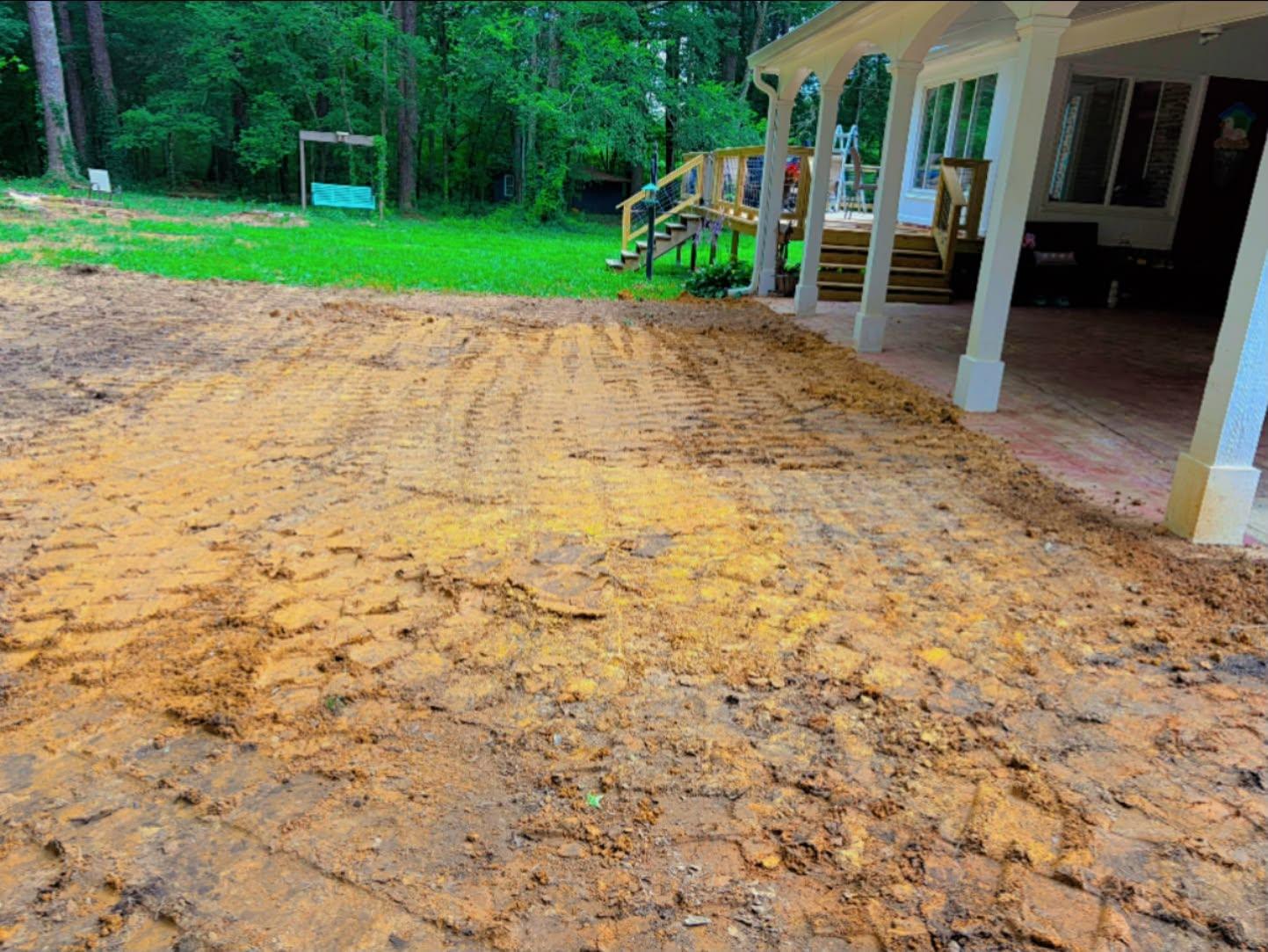
The uplands in between are ordinary Piedmont: Cecil sandy loam in the 2 to 6 percent slope class is the single largest map unit at about 320 acres, with Appling, Hiwassee, and Gwinnett filling out the higher ground. So for anybody moving dirt, Austell is two towns wearing one name. Upland lots get ordinary yard grading. Bottom and terrace lots get planned around the calendar, because ground that stays soft for months does not tighten under a roller, it moves sideways, and a machine working it wet prints ruts that a dry lot would never have shown.
The Conversation That Has to Be Honest
The honest Austell conversation is about expectations. On a low lot near a channel, no amount of yard grading changes what the creek does on a wet week, and any contractor who tells you otherwise is selling. What grading can do, and does very well, is protect the house and reclaim the usable part of the yard: fall established away from the foundation on all four sides, roof water piped away from the wall and dropped somewhere it can keep going, and the flow coming off the higher neighbor turned aside before it reaches you.
Yard leveling handles the rest of the surface, and on flat ground it is mostly about eliminating the dips that hold standing water rather than about cosmetics. Where fill has to be placed, or a pad cut for a shop or a garage, that falls under excavation and fill work, and that part is worth holding until the weather cooperates.
The Rock Goes Down, Not Sideways
A gravel drive on a hillside comes apart at the top, washed out by its own runoff. On Austell bottom ground it comes apart at the bottom. Saturated subgrade has almost no bearing left in it, so every axle that crosses pushes rock a fraction deeper, and after a few winters the stone and the soil are one soft material with no boundary between them. A fresh layer over the top only widens the mixing zone.
What survives gets built below what anybody can see. Dig out to something that will carry weight. Put in enough depth to spread an axle load across it. Hold a separation so the rock and the wet soil never trade places. Pitch the finished top toward an exit. That is driveway and access work designed for level, saturated ground. Where an old shed, a slab, or a rotted deck has to leave the lot first, that is demolition of sheds, slabs, and old decking, and the ground underneath gets reshaped so the old footprint is not the next place water collects.
US 78 and US 278 run through town, C H James Parkway crosses the west side, and Austell Road comes in from the northeast, so getting a truck and trailer to an address here is straightforward. If your Austell lot holds water, sits soft, or carries something that needs removing, text or phone (706) 936-4615. The quote form works too. You deal with John start to finish and the job comes back as a single number.