Douglas County is 200 square miles, which makes it the tight one. Carroll next door is 499. Elevation across a 3DEP sample here spans 724 feet to 1,248, a total range of 524 feet where Carroll spreads 844 by the same method, and the middle sits near 1,010. Piedmont Upland the whole way across, and 99.9 percent of it in a single ecoregion. The relief is steady, the parcels are smaller, and the questions people ask about their ground are different because of it.
Past Douglasville the Parcels Open Back Up
Three incorporated places hold territory in this county: Douglasville, Villa Rica and a corner of Austell. Lithia Springs and Fairplay are populated but unincorporated. Get out around Winston, Beulah, Chapel Hill, Bright Star or Basket Creek and the parcels widen into wooded acreage and old pasture again.
That shift is what changes the work. A lot with a curb in front of it has somewhere for its water to be sent. Five acres on a county road does not, and the yard, the drive and the drain field all end up sharing one grade. Half-acre habits do not scale up to that. Farm habits do not scale down to it either, because these parcels are rarely big enough to shove a problem uphill and forget about it. What is left is careful shaping inside a limited footprint, and that is most of what gets asked for out here.
The Soil Series Named Out of This County
Musella was established as a soil series in Douglas County, Georgia in 1960. It is a shallow red soil formed over dark rock high in iron and magnesium, it reaches a paralithic contact about seventeen inches down, and rock outcrops and stones are described as common in it. Roughly 4,700 acres of the county maps that way.
Musella is not the only limit. In the Douglas County soil survey, Louisburg carries a lithic contact at about thirty inches, and lithic means hard rock rather than the weathered kind that rips. There are 281 acres mapped as bare rock outcrop, and Colfax carries a fragipan, a dense brittle layer water crosses slowly. Not one of those three shows up anywhere in the survey covering Carroll County. This is a real difference between two counties that share a border.
The rest of the ground is friendlier than that sounds. Madison covers about 54,100 acres, Louisa about 20,800, Appling about 13,000, and near enough 80 percent of the county is rated hydrologic group B, the second lowest runoff class in the system. For drainage work that is the important number: on most lots here the soil will accept water if water is given somewhere sensible to go. When a yard stays wet, the grade or the outlet is usually at fault, not the dirt. The exception is the creek bottoms, and they are narrow. Chewacla, Cartecay, Toccoa and Wehadkee together come to about 9,400 acres in a 128,000 acre county, where Carroll carries better than three times that in flood plain.
All of It Ends Up in the Chattahoochee
One hundred percent of Douglas County sits in the Middle Chattahoochee basin. There is no divide here to be on the wrong side of. What changes from place to place is only which creek takes it.
Sweetwater Creek gathers the northeast quarter and carries about 21 kilometers of channel across the county on its way to the river. Anneewakee Creek is entirely homegrown, rising inside Douglas County and reaching its mouth inside Douglas County, 20 kilometers head to tail, with Little Anneewakee Creek feeding it. The Dog River comes in off the Carroll County side and runs about 23 of its 25 kilometers here. Bear Creek adds another 12 through the middle. About 21 kilometers of the Chattahoochee makes the southeast line.
The rain does something people do not expect. At the gauge south of Douglasville the normals total 54.57 inches a year and the wettest month is July, at 5.41 inches. The summer quarter takes 14.68 against 14.67 in winter. Carrollton, 22 miles southwest, is the opposite: 15.39 in winter against 12.26 in summer, with March on top. Summer rain in the Piedmont arrives hard and in a hurry, and that is a different problem to solve than a slow February soak. A swale sized off an average will still overrun on a July afternoon.
What the Ground Asks For Here
Since water is the recurring question, drainage and water control is where most conversations start. A wet corner on a Douglas County lot usually traces back to one of three things: fall built toward the house instead of away, an outlet that terminates in nothing, or a strip of yard sitting on creek bottom that was never going to shed water on its own. Three causes, three different fixes, and telling them apart takes standing on the ground after a rain rather than looking at photographs of it.
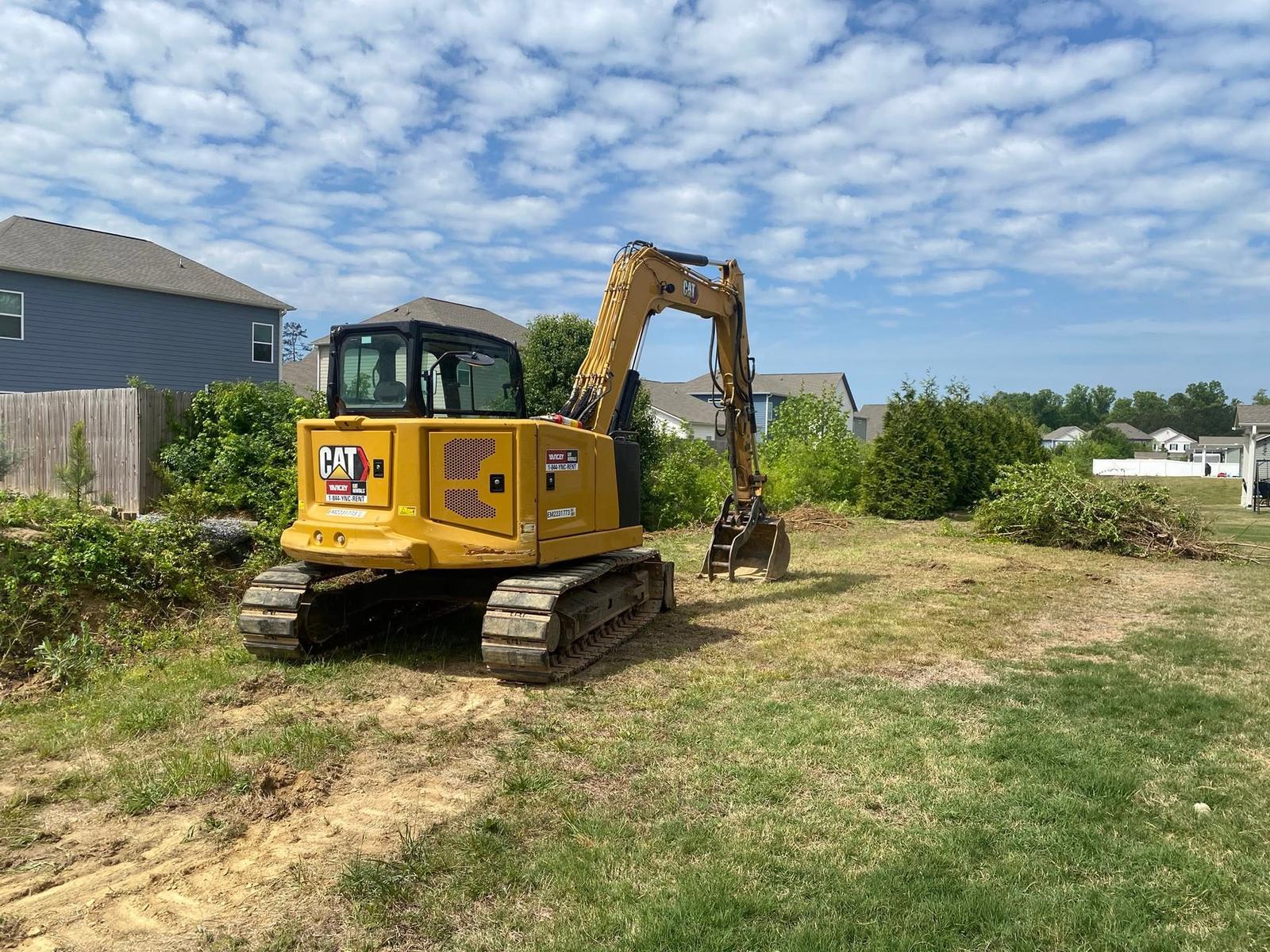
Grading and site prep on a smaller parcel is a game of inches instead of acres. A shop pad, a garage slab, an RV spot or a leveled area behind the house has to be cut without pushing the runoff onto the neighbor, so where the fall goes gets decided before the first bucket comes off. Where the mapping says Musella or Louisburg, the finished elevation may end up set by rock instead of preference, and that is far better to learn at the start.
Yard leveling is the one people ask for by name. Ruts left by a builder's machines, a settled trench line, a lawn holding puddles three days after a storm, ground falling back toward a patio. It is small work and it is finish work, and it earns its money because it is the part of a place somebody looks at every day of the year.
When the job is moving material rather than shaping it, excavation and dirt work covers the rest: footings, pond and basin work, bringing fill in, hauling spoil out, and getting into a spot a full sized outfit would rather not squeeze a machine into. If you are on Douglas County ground and want a straight answer about what is under it, call or text John at (706) 936-4615, or send the details through the quote form. Every number starts with a look at the site.