Carroll County covers 499 square miles of Piedmont, which makes it two and a half times the size of Douglas County next door and the 25th largest of Georgia's 159 counties by land area. Almost none of it is town. The whole thing sits in the Piedmont Upland, so what you get is long rolling ridges with creek bottoms cut in between them. A 3DEP sample across the county runs from 686 feet at the low end to 1,530 at the high end, with the middle of the range near 1,081. Nothing that qualifies as mountain. Slope on nearly all of it.
Eight Limit Signs and 499 Square Miles
Bowdon, Bremen, Carrollton, Mount Zion, Roopville, Temple, Villa Rica and Whitesburg are the incorporated places. Past them it is county road, and county road is where the acreage lives. Forty acres off a dirt lane southwest of Bowdon. Twelve acres of planted pine behind a house near Bowdon Junction. A pasture out toward Tyus that nobody has bush hogged in six years and is now half sweetgum.
Property like that has no curb and no public pipe at the end of the driveway. Whatever falls on it belongs to it until it finds a creek. The drive is private, so it gets built once and looked after from then on. A drain field will not carry a machine, and a well head needs the ground tipped away from it. Fence line turns into real work at this scale too, because a mile of wire vanishes into privet and sweetgum a good deal faster than anybody plans for.
Half This County Is One Soil
Madison maps at roughly 161,600 acres inside the county line, about half of everything. It is deep red clay weathered off gneiss and schist, well drained, and it cuts and compacts fine as long as it is dry. Worked wet it smears and stops holding. Hulett comes next at about 38,000 acres in a worse runoff class, and Davidson at about 32,600 in the worst class the rating system has.
The thin ground is up on the ridge noses. Louisa and Tallapoosa are shallow micaceous soils that meet weathered rock around fifteen inches down, and between them they cover better than 26,000 acres. Musella is thinner yet, roughly seventeen inches to contact. The useful part: every depth restriction mapped across the Carroll and Haralson survey is paralithic, meaning weathered rock that rips rather than rock that has to be broken. It still is not dirt, and a cut laid out as though there were three feet of soil up there is going to come up short.
Then the bottoms, which are the other half of the story and get overlooked. Chewacla flood plain soil covers about 26,800 acres of this county, near enough 42 square miles rated somewhat poorly drained and sitting on almost no slope. Congaree adds close to 6,900 more. About one acre in ten here is river bottom, which is why so many places have one field that dries by March and one that never quite does.
Water Leaves Here in Two Directions
A divide runs through Carroll County. Sixty four percent of the land sends its water west into the Upper Tallapoosa, which leaves Georgia entirely and finishes in Alabama. The other thirty six percent sends it east to the Chattahoochee. One county, two river systems, and which side you own decides which way your low ground tips.
The Little Tallapoosa River starts in the north end of the county near Villa Rica. Seventy four of its 157 kilometers of mapped channel lie inside Carroll County before it crosses the state line and joins the Tallapoosa over in Randolph County, Alabama. Buffalo Creek handles the Bowdon side. On the east half, Snake Creek runs its full 32 kilometers from head to mouth without once leaving the county, ending at the Chattahoochee, and Whooping Creek does a shorter version of the same thing near Whitesburg. Roughly 14 kilometers of the Chattahoochee itself makes up the eastern edge.
The heavy rain here comes in cold. Carrollton normals are 53.48 inches a year, and the winter quarter takes 15.39 inches of that against 12.26 in summer. March is the wettest month at 5.59 inches and October the driest at 3.66, with the annual average temperature at 61.3 degrees. In plain terms, the biggest water shows up in the months the clay is already soft, and early fall is when dirt behaves.
What That Means on Acreage
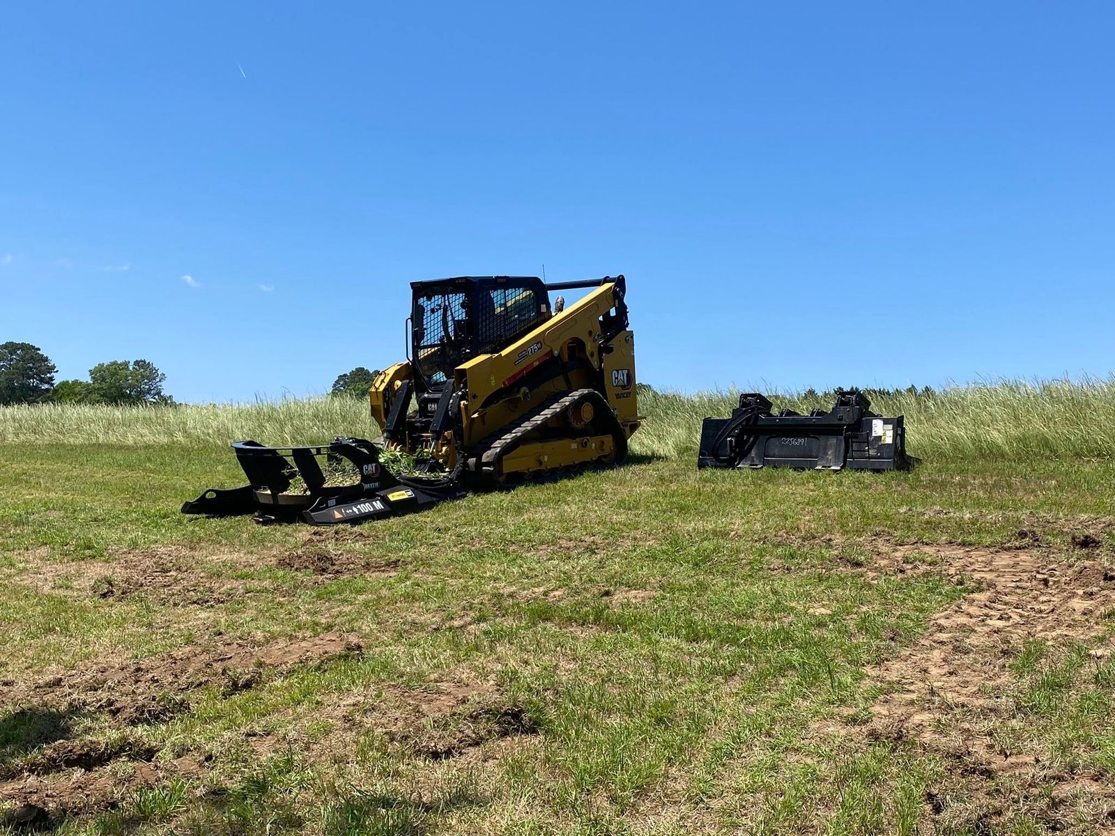
On a place this size the clearing decision comes first and everything else hangs off it. Land clearing takes stumps and root balls out and hands back ground you can put a pad, a pasture or a barn on. Forestry mulching grinds growth where it stands and leaves chips and an intact root mat gripping the hillside, which on a long Madison slope is the difference between cover and a gully. Which one is right depends on what goes on top afterward, and that gets settled on the property.
Fence line clearing is its own animal out here. A pasture line wants a narrow controlled cut worked in tight against the wire without dragging posts, and once it is open you can finally tell which stretch of fence failed and which stretch just disappeared under brush.
Drives are where this ground gets expensive, and for two unrelated reasons stacked together. Up on the slope a gravel drive behaves like a channel, and 53 inches of rain a year will demonstrate that inside one season. Down in the bottom the same drive crosses Chewacla, flood plain soil that dries on its own timetable and not on yours. Shaping the surface so rain leaves it quickly, cutting ditch and setting pipe wherever water already wants to cross, and fixing the soft sections before the first load of stone arrives: that is the whole job. Stone laid on ground nobody fixed just sinks out of sight.
Count on shallow rock along the ridge noses and soft ground in the bottoms, sometimes inside the same forty acres. If your place is outside those eight limit signs and you want a plain read on what your dirt is going to do, call or text John at (706) 936-4615, or send the details through the quote form. Nothing here gets priced off a map.