Haralson County sits high and flat for west Georgia, out on the Alabama line. Reeds Mountain, the tallest named summit, reads 1,567 feet. The town of Tallapoosa, 9.4 miles away, reads 1,149. Every point sampled across the county falls inside a 479 foot band. That is a whole different animal from the counties north of here, and it shows up in the work: less about surviving a slope, more about wide fields, long fence lines, standing water, and timber that grew back where cattle used to be.
Five Town Signs and 260 Square Miles Between Them
Tallapoosa, Bremen, Buchanan, Waco, and Temple all touch this county. Added up they hold 7.9 percent of the land area, so roughly 260 of the 282 square miles here answer to a rural route instead of a street address. Budapest, Draketown, Felton, Poplar Springs, Steadman, and Tabernacle are all out in that stretch, along with the farms and the pine on the roads between them.
There is a quirk worth knowing about the map. Buchanan holds the courthouse and Buchanan is the smallest town in the county, 1.77 square miles against Bremen's 10.68. Bremen and Temple both cross the Carroll County line, and almost all of Temple is on the Carroll side. So a property described as being near Temple may not be in Haralson County at all, and a property described as being outside Buchanan is usually a long way outside it.
The practical part is the same everywhere out here. Rain that lands on your ground leaves on your ground. Fences, gates, cattle guards, and field roads are yours to keep open. And a bush hog that quit going in three summers ago costs a great deal more to catch back up than one that ran last year, because what grows back on this soil is sweetgum and pine, not grass.
Mica Schist Under Everything, Shallow
Survey area GA618 covers Carroll and Haralson together. Inside the Haralson overlap the parent material list is short and it is all metamorphic: mica schist and gneiss under most of it, amphibolite and gneiss under some, alluvium down in the bottoms.
Tallapoosa is the leading soil at roughly 78,000 acres, about 43 percent of the county, and NRCS records weathered rock under it at 38 centimeters. Call it a foot and a quarter. Louisa is just as shallow and is rated somewhat excessively drained on slopes to 40 percent. Both carry hydrologic group D. Grover, roughly 31,400 acres, and Madison, roughly 21,800, are the deeper red soils, well drained and group B, and they are where the good pasture and the good row ground has always been.
Then there is the part that separates this county from Pickens or Murray. Chewacla covers roughly 14,400 acres here, and with Congaree and Augusta the flood plain soils total something near 19,200 acres, about a tenth of the county. Chewacla and Augusta are both rated somewhat poorly drained on zero to two percent slope. That is a lot of broad, flat, wet bottom for a Piedmont county, and it is exactly the ground people try to bush hog in April and give up on.
One coincidence worth clearing up. The river is named Tallapoosa, the city is named Tallapoosa, and the dominant soil series is named Tallapoosa. The series was not named for either of them. NRCS established it in Talladega County, Alabama in 1969.
Every Drop Goes to the Tallapoosa
Buchanan, Bremen, Tallapoosa, Waco, Felton, Draketown: test any of them and the answer comes back the same, HUC8 03150108, Upper Tallapoosa. There is no divide anywhere in this county. Every acre of it sends water into one river system, and that river system runs west into Alabama.
The Tallapoosa River itself is 423 kilometers of flowline, and its Georgia vertices land in Haralson and Paulding before the whole thing heads into Cleburne, Randolph, Chambers, Macon, and Elmore Counties in Alabama. Four smaller streams stay home entirely: Little River, 25 kilometers, Walker Creek at 21, Beach Creek at 18, and Big Creek at 12. If a plat mentions a Little River on your property, note that it is not the Little River up on the Fulton and Cherokee line. Different stream, different GNIS number, 200 miles of nothing in common.
One river people expect to find here is missing. The Little Tallapoosa does not enter Haralson County. Its 157 kilometers of flowline sample into Carroll County and then into Randolph and Cleburne Counties in Alabama.
Rain runs lighter here than up in the mountains. The closest station carrying 1991-2020 normals sits just over the Carroll line at Temple and reads 53.97 inches a year, with March highest at 5.17 and October lowest at 3.48. Three stations do sit inside the county, two at Bremen and one at Tallapoosa, and none of them carries a normals record, which is worth saying plainly rather than borrowing a number and pretending it was measured here.
How That Changes the Work
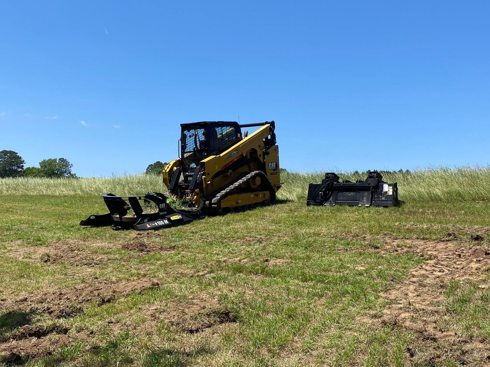
Most jobs in this county start with cover, not with dirt. A field that has gone two or three seasons without a cutter is not a mowing problem anymore, it is a clearing problem, and the difference is which machine shows up. Where the growth is still grass, briar, and sapling stems a cutter can take, bush hogging puts a field back in one pass. Where sweetgum and pine have taken hold and the stems have gone woody, forestry mulching grinds it standing and leaves the chips on the ground as cover, which matters on group D soil that runs water off the top.
Fence lines are their own job on a place this size. A line that has grown up carries vines into the wire, shades the posts wet, and hides every break. Fence line clearing cuts a working strip back so you can walk the wire and see what needs replacing, and it is cheaper by a wide margin than replacing fence you could have saved.
For ground going back into production or into a homesite, land clearing takes the stumps and root balls out. That foot and a quarter of soil over rock is the thing to keep in mind while planning it. Stumps on shallow ground come out with less digging than people expect, but they bring a wide root plate and a load of rock up with them, and the hole left behind needs filling and settling before anything gets built or planted over it.
The wet bottoms want restraint. A tenth of this county is flood plain soil rated somewhat poorly drained, and that ground is doing its job. Clearing a bottom for pasture is reasonable. Working it in early spring is not, because a loaded machine on saturated Chewacla does not compact the soil, it displaces it, and the ruts left behind stay for years. Late summer and early fall are when that work goes well.
Farm or timber ground anywhere from Buchanan to Draketown to the Alabama line: reach John directly at (706) 936-4615, or use the quote form and describe what you have. The walk comes first and the number comes after.