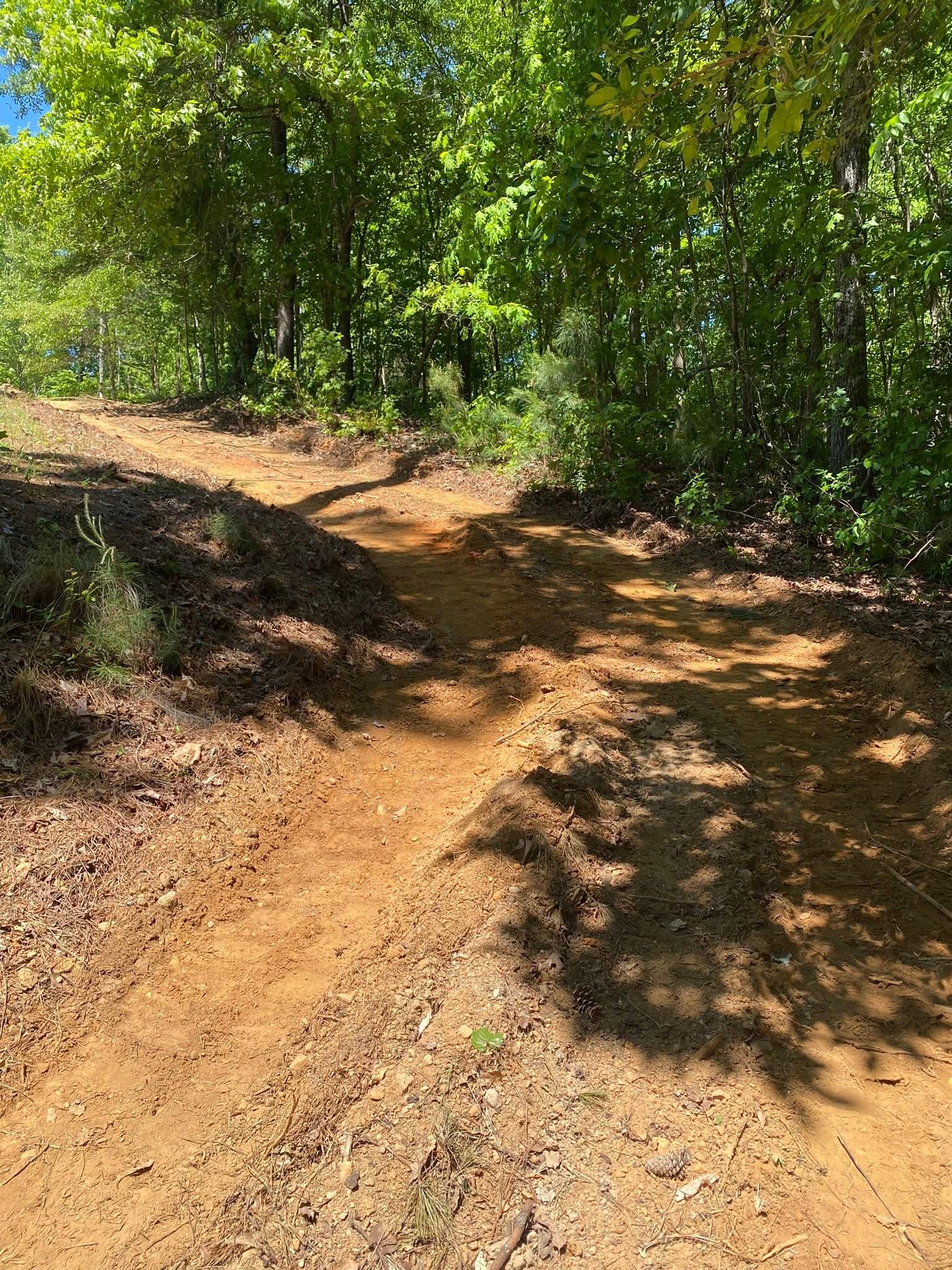
Bremen sits higher than any other town this company covers. Sample the ground across the city limits and the middle of the range lands near 1,310 feet, with the upper end pushing 1,400. Reeds Mountain stands inside these limits at about 1,567 feet, and no named summit anywhere in Haralson County stands taller. That elevation explains most of what property here needs, because ground this high is either shedding water or holding a slope, and usually doing both at once.
Three Quarters of This Town Is One Soil
Madison covers roughly three quarters of the ground inside the Bremen limits. What matters is not the name, it is the phase. Bremen's Madison is mapped mostly at 6 to 10, 10 to 15 and 15 to 25 percent, and better than a quarter of the whole town is mapped above the 15 percent grade class. Nearly a fifth of it is a severely eroded clay loam phase, which is the survey stating that the sandy topsoil has already left that ground and what a bucket meets first is subsoil clay.
Behind Madison the ground gets thinner rather than deeper. Louisa turns up on grades running to 40 percent, rated somewhat excessively drained, over a shallow contact. Tallapoosa carries a similar depth limit in the highest runoff class. Neither is hard ledge, so a machine works through it, but it is not soil either, and a bench or a trench planned around normal depth will finish short of the drawing on those noses.
Then the part that surprises people. There is almost no bottom land here at all. Flood plain accounts for about one point in fifty inside the city limits. Bremen has nowhere to let water spread out and slow down. It gathers, it runs, and it goes.
A Quarter of Bremen Is in Carroll County and Nobody Lives On It
The city line crosses a county line. About 78 percent of Bremen's land area is in Haralson County and about 22 percent is in Carroll. The 2020 block counts put 7,120 of the city's 7,185 residents on the Haralson side. The Carroll quarter holds 65 people in 27 houses.
Which is to say a fifth of this city is open ground with a Bremen address on it. That is where the acreage jobs are, and it is worth knowing before anybody assumes a city address means a city lot. Out that direction the questions are the acreage questions: whether a field road will carry a lowboy after a wet week, how wide the gate is, and where a machine turns around.
Turkey Creek Takes Most of It
Turkey Creek is the main drain for the town, with Beach Creek, Baxter Creek, Bush Creek and Little Turkey Creek taking the rest. Camp Waco Lake is the only impoundment on the map. All of it heads west toward the Tallapoosa.
On high steep ground with almost no flood plain, water is a speed problem rather than a standing problem. Wet corners are rare here. Cut channels, undermined shoulders and gravel that has migrated fifty feet downhill are common. Drainage and water control in Bremen is mostly about breaking momentum: catching sheet flow before it concentrates, spreading it across more than one outlet, and putting it somewhere that can take the arrival rate rather than just somewhere lower.
Drives Here Behave Like Small Streams
Bremen has I-20 across it, US 27 and US 78 through it, and named routes running out every direction, but the interesting work is off them, on the roads that climb: Buncombe Waco Road, Old Moores Mill Road, Bush Creek Road, Waterworks Road, Miller Academy Road. A gravel drive on that kind of grade is a channel unless it is built not to be.
What holds a drive together on this grade is shape rather than stone volume. The surface has to lose its water sideways almost immediately, which takes a real crown and a shoulder that is not higher than the road. It has to be interrupted often enough that no length of it ever accumulates a damaging flow. And it has to be built on subgrade that was stripped and packed first, because base rock tipped onto uncut clay simply vanishes into it. That is what gravel driveway and access work takes on Bremen slopes, and the gap between doing it and skipping it shows up the first hard winter.
Clearing on Grade, and Why the Tool Matters
Take the cover off a 15 to 25 percent grade that already carries a severely eroded phase underneath it and the property loses whatever surface it had left. Forestry mulching is the answer on that ground, because grinding standing growth leaves the chip layer and the root network in place and those two things are the only thing holding a Bremen hillside during the work. Where a building or a drive is genuinely going in, land clearing pulls the stumps. On thin ground they lift out with less digging than expected, though they arrive at the surface with a broad plate of roots and a good deal of stone tangled in it, and the crater underneath has to be filled and settled before anything is placed over it.
Fence lines on the Carroll side and out the north end are their own job. Growth leaning on wire stretches it, shade at the base of a post is where the post fails, and a run that cannot be seen cannot be judged. Fence line clearing cuts the line back in close so the fence can be read and repaired for what it actually needs. Where a shop or a house is going on a cut into the hill, grading and site prep sets the bench, holds the cut back, and gets the water moving past the building rather than into the cut face behind it.
High ground, steep ground, or the open Carroll County end of town: call or text John at (706) 936-4615, or describe the property on the quote form. He walks it first.