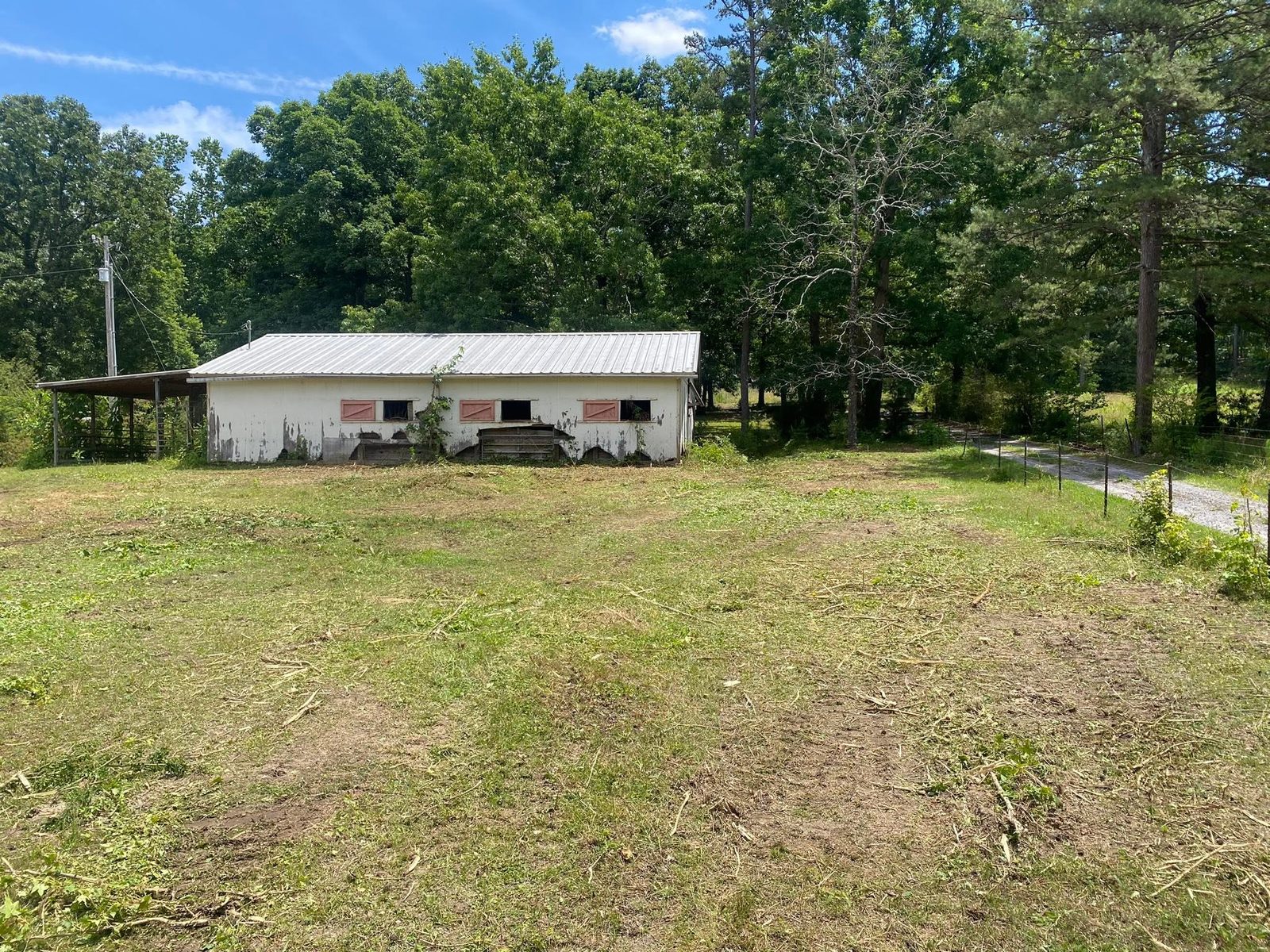
Mount Zion draws its city limits around nine and seven tenths square miles and the 2020 blocks counted 626 houses inside them. Work that out and it comes to roughly sixty five houses per square mile. This is an incorporated place whose limits were drawn around farmland, and the work here reflects that: pasture, fence line, timber edge, field access, and the long gaps between one house and the next.
Fifty Eight Street Names in Nine Square Miles
The Census road file lists about 58 named local streets inside the Mount Zion limits. One state route, Highway 16, crosses the town. Everything else is county road: Five Points Road, Bowdon Junction Road, Burwell Mount Zion Road, Davenport Mill Road, Styles Lake Road, Tanner Beach Road, Old Jacksonville Road, Kierbow Road, Beaverpond Road.
The practical consequence of a road network that thin is that almost every property here has its own access problem. There is no curb at the end of the drive and no public pipe waiting to take the runoff. Whatever falls on a place belongs to that place until it reaches a creek. Field roads, gates and cattle guards are the owner's to keep open. And a machine coming in has to arrive on a route that will carry a trailer, which is the first thing checked and the one that stops more jobs than anything else.
Hulett Runs This Town
Mount Zion is the one place in this corner of Carroll County where Hulett leads the map instead of Madison. It takes close to a third of the sampled points inside the limits, mostly on 6 to 10 and 10 to 15 percent slopes, with Madison behind it at about 29 percent and Grover filling in another tenth.
That difference is worth knowing because it is invisible from the truck. Hulett sits a runoff class above Madison in this survey, so a larger share of every rain leaves over the surface rather than entering the soil. Two adjoining fields, both red, both sloped about the same, can hand off noticeably different volumes in the same storm. On pasture that shows up as thin patches that never quite fill in. On a field road it shows up as one rut that reopens every winter no matter how often it gets bladed.
The rest of the mapping fills out the picture. About one point in nine is mapped steeper than 15 percent, with Louisa on the sharpest noses at up to 40 percent. Roughly one point in twelve is flood plain on almost no grade, and a small share is the shallow series that meets weathered rock a bit over a foot down. So a single farm here can hold ridge, slope, thin nose and wet bottom, and most of them do.
Two Creeks, and Both of Them Are Turkey
Only two named streams run inside these limits: Turkey Creek, with better than four miles of channel, and Little Turkey Creek, with about three and a half. Muse Lake is the one mapped impoundment. That is the entire named drainage of a nine square mile town, and both of them head west toward the Tallapoosa.
What that means on the ground is that low ground here is either close to one of those two channels or it is not close to anything. Bottom near the creeks is doing what bottom does and it does not need rescuing so much as it needs to be worked at the right time of year. A wet spot out in the middle of a field, well away from either creek, is a different problem entirely and usually traces to a pan of sealed soil, a fill that never settled, or a field road built across the natural fall line so that it works as a dam.
Cutter, Mulcher, or Blade
Most jobs out here start with cover rather than dirt, and the question is which machine belongs on it. A rotary cutter is a throwing tool. It handles anything soft and springy and it puts the material back on the ground in pieces, which is exactly right for pasture that gets attention every year or two. That is bush hogging, and a field kept on that cycle comes back in a single pass.
A mulcher is a grinding tool, and it belongs where the stems have hardened enough that a cutter would be beating on them rather than shearing them. Forestry mulching reduces standing growth to chips where it stood, and on Hulett that chip layer is doing real work, because the surface here sheds more than the color of the dirt suggests. It also deals with the regrowth question. A cut stump comes back with three shoots. Ground material does not.
Where a field is going back into production, or a homesite is going in on it, land clearing pulls the stumps and root balls so the ground can carry a pad or a pasture. On a lot of places here the sensible plan is a mix: clear the flat working ground, grind the slopes and the timber edge, and stay off the bottom until late summer.
Fence Line, Field Road, Gate
A perimeter on a place this size is its own project. What happens when a line goes untended is gradual and expensive. Growth leans into the wire and pulls it out of line. Posts stay shaded, which means they stay damp at the ground line, which is where they rot. Worst of all, the fence stops being visible, and an owner who cannot see the line ends up replacing the whole run because there is no way to tell which parts are still sound. Fence line clearing cuts back in close without pulling on posts or strands, and what it usually buys is the discovery that most of the fence was fine.
Field roads and drives get the same treatment as any private access: shaped and crowned so water leaves the surface, ditched where there is fall to work with, and piped where water already crosses. That is driveway and access work at farm scale. Where land is held for hunting or riding rather than for producing anything, recreational land work covers trails cut on contour, lanes and plots opened where the soil supports them, and access that still works in February.
Pasture that has gotten ahead of you, a fence line you cannot walk, or a field road that ruts every winter? Call or text John at (706) 936-4615, or describe the place on the quote form. He looks at it before he prices it.