Cleburne County is the one where the maps stop agreeing with the rest of this side of the state. Two thirds of it is Piedmont rather than Valley and Ridge. Better than a quarter of it, 27.6 percent by measurement, is Forest Service ground. Its soils form in schist, phyllite, gneiss, and slate, and not one major component in the county weathers off limestone. Open water covers 0.89 square miles, two tenths of one percent. This is timber and mountain country, and it works like it.
Four Towns, Every One of Them Above 950 Feet
Heflin, Edwardsville, Fruithurst, and Ranburne. That is the entire incorporated list for 560 square miles, plus Hollis Crossroads as the county's only Census designated place. Heflin sits at 959 feet, Edwardsville at 973, Ranburne at 1,023, Fruithurst at 1,084. There is no low town here, because there is no low ground to put one on.
Everything past those four is country roads, timber, and tracts. Muscadine, Micaville, Abernathy, Oak Level, Piney Woods. A hunting lease with a gate and two miles of two-track behind it. A homesite cut into a slope where the nearest neighbor is a section line away. The practical difference between here and a county with a lake or a highway through the middle of it is that access is almost always the first real problem and rarely the last one.
Schist and Phyllite Instead of Limestone and Shale
Tatum is the largest soil at roughly 72,100 acres, formed in schist residuum on 6 to 30 percent slopes with soft rock down around 50 inches. Fruithurst follows at about 60,100 acres in phyllite, and Madison at about 42,900 in gneiss and mica schist. Those three together are more than half the county, and all three are deep, well drained, and micaceous.
The steep ground is different. Cheaha covers about 29,200 acres and is mapped on slopes running 15 to 60 percent, the steepest slope range of any major soil across these four counties. Tallapoosa adds about 25,000 acres of slate residuum that is shallow, sheds nearly everything that lands on it, and gives out at soft rock 38 centimeters down. Louisa repeats that same depth in mica schist.
What is missing tells you as much as what is here. The whole survey records only six component restrictions, and there is not one fragipan in the county, where the counties north of here carry ten and four. Micaceous soil off schist behaves differently from clay off shale: it holds together on a slope better than it looks like it should, and it turns slick and unstable in a way that surprises people the first time they cut into a wet bank. Bottom ground is thin on the map. Riverview holds about 11,200 acres of well drained alluvium and Sylacauga about 6,400 that stays wet on no slope at all.
Two Thirds of It Goes to the Tallapoosa
Everything else on this Alabama list drains to the Coosa and nothing else. Cleburne does not. Sampled against the watershed boundaries, 66.5 percent of the county falls in the Upper Tallapoosa subbasin, 17.1 percent in Upper Coosa, and 16.3 percent in Middle Coosa. The divide runs right through the middle of the county, and the Tallapoosa itself carries about 47 miles of mapped channel inside the line, more than any other stream here.
After that it is all creeks. Cane Creek runs 25 miles, Terrapin Creek 20, Shoal Creek 17, Chulafinnee Creek 14, Muscadine Creek 13. The largest body of standing water in the entire county maps at 0.28 square miles. There is no reservoir to buffer a storm and no lake pool to set a base level, so what falls here moves, and it moves in the channel it already cut.
The Heflin gauge averages 57.41 inches a year at 60.2 degrees. February leads at 5.85 inches, then March at 5.60 and January at 5.58, and September is the dry month at 3.33. The number worth noticing is July at 5.39. The other three counties on this list all sit near 4.7 in July. Heflin is the only one with a summer month above five inches, which is mountain thunderstorm rain, and it lands on ground that already sheds fast.
Timber Ground and What It Costs to Get Into It
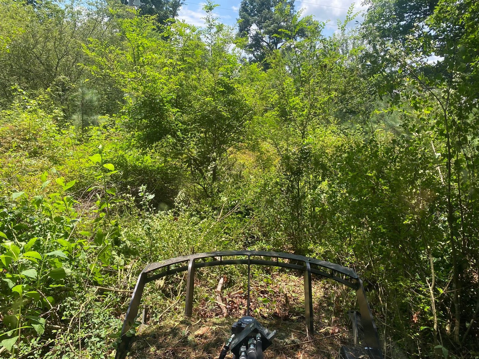
Most of the work this county generates starts with growth rather than dirt. Forestry mulching fits it better than anything else, because grinding the standing material in place leaves chips and a live root mat on slopes that would otherwise start moving the week after they were scraped, and on a 30 percent grade in micaceous soil that difference is not cosmetic. It also solves the haul-off problem on a tract where the nearest place to put a burn pile may be a half mile from where the work is.
On tracts held for hunting and timber, the recurring jobs are lanes, plots, and getting in and out. Recreational land work here is mostly about establishing a route that survives a wet February: laid across the slope rather than straight up it, with water turned off often enough that no stretch runs long, because a two-track cut straight down a Tallapoosa slate slope becomes a gully in one season. Fence line clearing is its own steady category on county-road frontage and section lines that have grown shut, and it is far cheaper to reopen a line than to find one.
Where something is actually going to be built, land clearing that takes out stumps and root balls is the right call, but the sequence matters more here than on flat ground. The order that works is settle the access first, clear second, and leave the finish grade until the ground has proven what it does in a hard rain. On a county with no impoundment anywhere in it, that first storm is the only honest test there is.
Tract out past Heflin, Edwardsville, Fruithurst, or Ranburne that needs opening up? Send a pin and a few photos through the quote form, or call or text John Mulkey at (706) 936-4615. He would rather drive out and see the timber than guess at it from a description.