The Appalachian ridges run out of road in Calhoun County. Choccolocco Mountain stands 2,077 feet, the highest ground on this side of the state line, and Ohatchee sits at 496 to 510 feet down on the Coosa end. That is better than 1,500 feet of fall inside one county. Sample the whole thing against the USGS province coverage and it comes back Valley and Ridge on 9,634 of 9,637 points. The Piedmont starts just past the southeast corner. It does not start here.
Nine Towns Strung Along One Valley
Anniston, Oxford, Jacksonville, Weaver, Piedmont, Hobson City, Ohatchee, Glencoe, and Southside all touch this county, and almost all of them sit in the same limestone valley between the same two ridges. Line them up on a map and you have described the developed part of a 606 square mile county, the largest land area of the four Alabama counties on this site.
Everything else is up on the mountain or out in the valley past the last streetlight. Alexandria, White Plains, Choccolocco, Eastaboga, Wellington, Nances Creek. Ground out there comes with its own well and its own drive and its own answer for where rain goes, and none of those answers arrive by default. A tract on the flank of Choccolocco Mountain and a tract in the Choccolocco Valley floor are four hundred vertical feet and one entirely different soil apart, even when they share a road.
Ten Inches to Rock on the Largest Soil in the County
Gorgas is the biggest soil here at roughly 47,200 acres, and it is also the thinnest. It forms in sandstone residuum on slopes of 25 to 45 percent, and hard bedrock is recorded at 25 centimeters, right at ten inches. That is not a soil you cut into. That is a soil you work across.
Montevallo runs another 22,700 acres with soft rock at 25 to 38 centimeters, and Talladega adds 16,700 acres of slate residuum with soft rock at 37. Between them and Gorgas, better than a quarter of the county has a restriction inside 15 inches of the surface, and all three are rated in the highest runoff class. Right beside them, Clarksville and Fullerton hold about 84,000 acres of cherty limestone ground rated in the lowest runoff class, soils that take water in almost as fast as it lands. Two extremes in the same county, often on the same property, with the change happening at a break in slope rather than a fence line.
The valley floor is the good half. Anniston, Cumberland, and Decatur are deep red soils weathered off limestone, well drained, and the Anniston series was named and first described right here in 1959. Down on the flats Stendal is rated poorly drained and Philo somewhat poorly drained, both on zero to two percent slope, and those are the fields that hold water into spring.
Choccolocco Creek, and the Driest Sky of the Four
Choccolocco Creek carries about 39 miles of mapped channel inside the county, more than anything else here. Tallasseehatchee Creek adds 36, Cane Creek 32, Ohatchee Creek 27, Nances Creek 13. The Coosa only clips the western edge for about 10 miles, and the two lakes on it, Neely Henry and Logan Martin, mostly belong to other counties. Nothing impounded inside Calhoun itself reaches half a square mile, and open water is only 1.0 percent of the county.
All of it goes to the Coosa in the end: 90.7 percent through the Middle Coosa subbasin and 9.2 percent through Upper Coosa at the Piedmont end. What is different here is how much falls to begin with. The Anniston gauge averages 52.12 inches a year, and Jacksonville 53.69. Every other county on this Alabama list runs above 57. September is the driest month at 3.11 inches and March the wettest at 5.37.
Five inches a year sounds academic until it shows up in the work. Less annual rain on ground that sheds nearly all of it means the same storm still cuts the same gully, but the recovery window between storms is longer and the summer dry stretch is harder on new grass. Seeding after a job here wants more thought than it does forty miles north.
Working Ground That Ends in Rock
On the ridge flanks the plan starts with accepting the depth. A drive benched into Gorgas is going to find sandstone, so the useful version of that job is cutting a bench that drains and building the running surface up on top of the rock rather than trying to get below it. That is excavation and dirt work planned around a known limit instead of discovering one, and it is why the walk matters more here than on softer ground.
Access is the recurring expense on this terrain. A gravel drive coming off any of these ridges is a channel by default, and the fixes are unglamorous and non-negotiable: crown the surface, ditch the high shoulder, turn water off often enough that no run gathers speed, and put pipe where a wet weather branch crosses. On the chert benches the base behaves well. On the shale clay it moves, and a surface laid straight onto it moves with it.
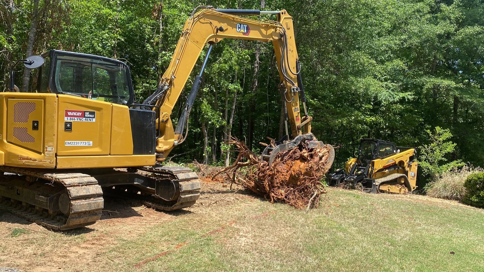
Clearing decisions split the same way the soils do. On steep flanks and thin ground, land clearing that pulls stumps is worth doing only where something is going on top of the ground afterward, because the root mat is most of what holds a thin soil in place. Where the goal is simply to get a grown-over field usable again, bush hogging handles it without disturbing anything, and on a valley farm that has been idle a few seasons it is usually the cheapest first move by a wide margin.
Got acreage in Calhoun County past the limits of Anniston, Jacksonville, Oxford, Weaver, or Piedmont? Find out what is under it before you spend money on top of it. Reach John Mulkey by call or text at (706) 936-4615, or put the particulars in the quote form, and he will come stand on the ground with you.