Etowah County is cut almost exactly in half. Measure it against the USGS province coverage and 52.3 percent comes back Valley and Ridge, 47.7 percent Appalachian Plateaus. Gadsden sits at 554 feet on the Coosa in the valley half. Sardis City sits at 1,087 feet on the plateau half. Black Creek runs off the plateau edge at Noccalula Falls and drops into the valley in one step. Two counties share one name here, and the ground on each side behaves nothing like the other.
Twelve Towns, and the Ground Between Them
This is the busiest of our Alabama counties. Twelve incorporated places touch the county line and eleven Census designated places sit alongside them, all inside 535 square miles of land, the smallest land area of the four. Gadsden, Attalla, Rainbow City, Southside, Glencoe, and Hokes Bluff run together along the river. Altoona, Sardis City, and Walnut Grove sit up top.
What that leaves is not empty country so much as in-between country. The strip of pasture behind a subdivision. Twelve acres on a plateau road with an old barn and a poultry house nobody has used in years. A shop lot squeezed against a hillside where the fill has to come from somewhere. Work near town is more likely to involve taking something out before anything goes in, and more likely to be tight on access, than the same job would be twenty miles east.
Sandstone on Top, Shale Below, and Bare Rock in Between
Hartsells leads the survey at about 34,800 acres, sandstone residuum with hard rock recorded anywhere from 22 to 36 inches down. Linker adds about 20,700 acres of the same idea. That pair is the plateau, and it is thin ground: there is not much above the rock, and the rock does not care what you had drawn.
Drop into the valley and the problem inverts. Minvale covers about 33,400 acres of cherty limestone colluvium. Conasauga and Townley between them hold about 47,700 acres of shale, both rated in the highest runoff class, Townley carrying soft rock as shallow as 25 inches. Then there is the entry no other county on this site has in this quantity: rock outcrop, mapped as a major component on about 8,960 acres, roughly one acre in forty, on slopes running from 10 percent to 90. That is not rock you find on the way down. That is rock already at the surface. Along the bottoms Chewacla takes about 13,700 acres, somewhat poorly drained, sitting on almost no fall.
A Divide Runs Across the Top of This County
Most Alabama counties in this part of the state answer to one river. Etowah answers to three. Sampled against the watershed boundaries, 79.3 percent of it drains to the Middle Coosa, 16.3 percent to the Locust Fork and on to the Black Warrior, and 4.2 percent north to Guntersville Lake and the Tennessee. Water leaving the north end of the county never sees the Coosa at all.
Inside the county the Coosa carries about 51 miles of mapped channel, more than any other stream on this site, and H. Neely Henry Lake spreads about 14 square miles behind the dam. Big Wills Creek adds 36 miles, Black Creek 24, Locust Fork 23, Little Wills Creek 19. The two Wills valleys run northeast to southwest between the mountains, which is the reason so much of the developed county is laid out along the same axis.
Rain is heavier on top than at the river. The Gadsden gauge averages 57.64 inches a year at 62.8 degrees, with January the wettest month at 5.70 inches and October the driest at 3.51. The Walnut Grove gauge, 300 feet higher, averages 58.83. That is a small number on paper and a real one on a plateau road with no ditch.
Planning Around Rock and Around Access
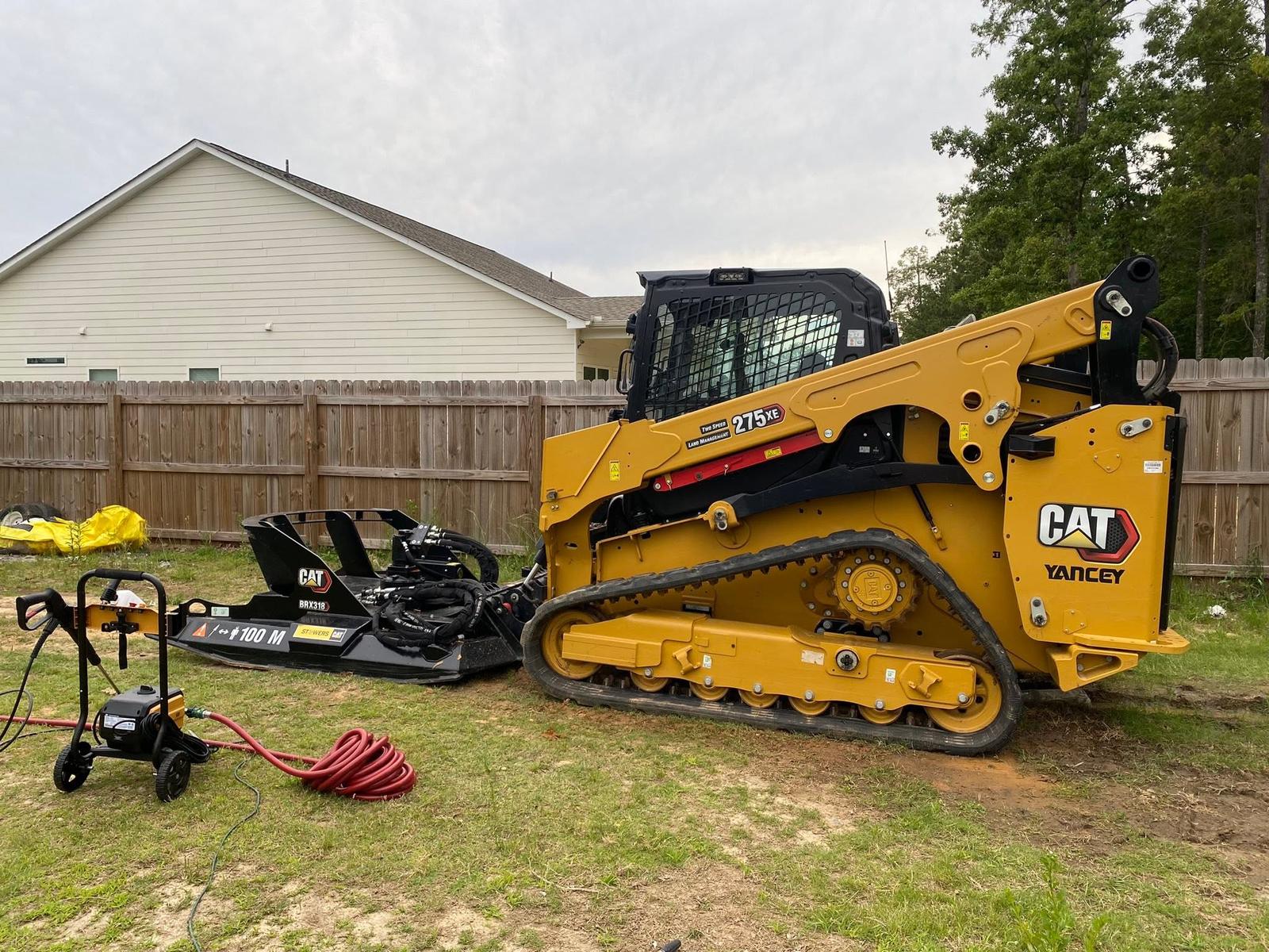
On the plateau half, assume the rock and design to it. A pad cut two feet into Hartsells can find sandstone before it finds grade, so the usual answer is to build up rather than cut down, which turns the job into a fill and compaction problem and makes grading and site prep the whole conversation instead of a step in it. Where a cut genuinely has to happen, that is what excavation and dirt work is for, and it is worth knowing before the trailer is unhooked whether the machine on it is the right one.
In the valley half the limiting factor is usually the shale and what it does with water. Conasauga and Townley shed almost everything, so a drive laid on them is a channel unless it is shaped not to be. Gravel drives here need a crown that throws water sideways, a working ditch on the uphill shoulder, turnouts close enough together that no single stretch gathers a head, and pipe where a wet-weather branch crosses instead of a dip that turns to soup by January.
Closer in around the towns, the first job is often removal. Old slabs, foundations, poultry houses, and outbuildings have to come out and the ground under them has to be made whole before anything new goes on it, which is demolition work with a grading job attached. Access is the question to settle first on those, because a lot with a house on three sides does not care how good the machine is.
Own ground around Gadsden, Attalla, Glencoe, Hokes Bluff, or Southside and want to know what it will take before you commit money to it? Call or text John Mulkey at (706) 936-4615, or send the details through the quote form. He puts boots on the dirt first and quotes second.