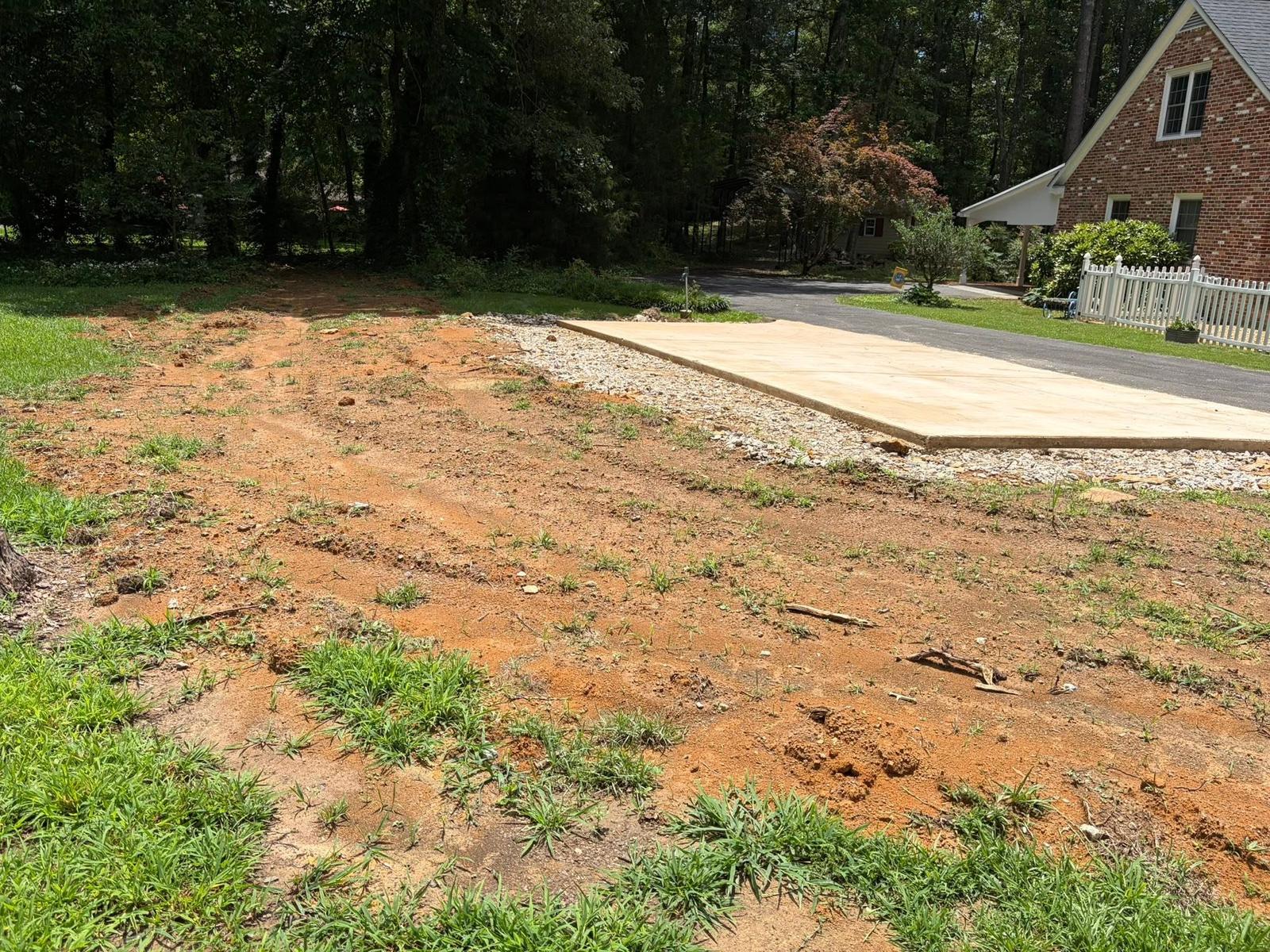
Glencoe covers close to seventeen square miles across Etowah and Calhoun counties, and the boundary is drawn in nine separate pieces rather than one shape. About 5,372 people live in it in roughly 2,294 houses, which comes to something like 135 houses per square mile. It reads as a suburb from the road and behaves like something rougher the moment you step off the pavement. US 431 is the main line through it, with US 278, State Route 74, and the Herman Nelson Highway also touching the limits, and Chastain Boulevard running east and west through the middle. Legacy Land Care works Glencoe out of Rome, Georgia. Owner operated, fully insured, one man on the machine.
One City, Five Subwatersheds
The Glencoe limits touch five different subwatersheds: Big Cove Creek, Turkeytown Creek and Coosa River, H Neely Henry Lake and Coosa River, Coffee Creek and Ohatchee River, and Havers Creek and Ohatchee River. A city this size sitting in five of them is unusual, and it comes from the way the boundary was drawn, out along the roads in strips rather than around a single block of ground.
The named channel inside the limits follows the same pattern. Little Cove Creek carries about five miles of it, Coal Creek close to three, Greens Creek about two, and Big Cove Creek a bit over one. Alexander Gap sits inside the city at about 715 feet, Green Valley runs through it, and two named springs, Glencoe Spring and Rock Spring, both fall inside the limits as well. Elevation samples inside the city range from about 520 feet up to about 920. That is four hundred feet of spread, which is a lot for a place people describe as flat.
The Biggest Map Unit Under Glencoe Is a Steep One
The single most common thing under this city is the Minvale and Bodine association, steep, mapped on slopes of 20 to 45 percent. The Minvale and Bodine complex on 15 to 30 percent slopes adds more, and Minvale cherty loam on 6 to 15 percent fills in below both. There is also a Nella and rock outcrop association, steep, where the survey records bare rock at the surface rather than rock a machine reaches on the way down.
Those units are cherty top to bottom. Chert is flint hard, it comes out in fist size pieces and larger, it wears a cutting edge, and it fills a bucket with weight instead of volume. Minvale is well drained and rated hydrologic group B. Bodine is somewhat excessively drained and sits in group A, the lowest runoff class the survey has, which means water goes into it and disappears. On a 20 to 45 percent slope full of chert, taking the cover off is how a hillside starts moving, so the tool that fits up there is forestry mulching, which reduces standing growth to chips and leaves the mat where it is. Save land clearing and stump removal for the gentler ground below the break.
Urban Land Is a Map Unit Too
Two units under Glencoe carry urban land in the name, one paired with Conasauga and one paired with Holston, both mapped across the 2 to 15 percent range. Urban land is not a soil. It is the survey counting the roofs, drives, slabs, and sidewalks that now sit where soil used to be, and it absorbs nothing whatsoever.
Look at the other half of each pair and you can see the trouble coming. One of them is Holston, well drained, group B. The other is Conasauga, a shale soil the survey puts in group D, meaning almost nothing soaks into it. Same city, same slope range, same amount of pavement on top, and completely opposite behavior underneath. Two houses on the same street can have entirely different water problems, and the one on the Conasauga side is the one whose back corner stays wet while the neighbor cannot understand what the fuss is about. Establishing which of them lies under your particular lot comes before anybody prices drainage and water control here.
Fast Ground and Slow Ground, Side by Side
Then there is Cedarbluff, third on the list, sitting nearly level and rated somewhat poorly drained in group C over D, with Ennis and Lobelville cherty loams filling the creek bottoms below it. So Glencoe holds Bodine, which swallows water about as fast as anything in this part of the state, within a few hundred yards of Cedarbluff, which stops accepting it the moment the top is full.
That is why the same rain produces very different results across a short distance here, and why advice that worked for somebody two roads over is often useless. It is also why yard leveling gets thought through instead of just done. Filling a hollow on fast ground is fine. Filling one on slow, flat ground does not remove the water, it reassigns it, and on a lot with neighbors that reassignment tends to end up in somebody else's yard.
The Hill Behind the House
A lot of Glencoe property follows one pattern: a normal front yard on a street like Glen Oaks Circle, Briarmeade Drive, or Hickory Ridge Drive, and a back half that climbs into chert and brush that nobody has touched in years. Brush on a slope does not stay on the slope. It works downhill a few feet a season until the usable yard is smaller than it was.
Getting that back is a grind up and hold the line job. The steep part gets mulched so the hillside keeps its cover, the bottom of the slope gets a clean edge, and the boundary gets opened so it stays open, which is what fence line clearing is for. Done that way the yard gets bigger, the line is visible again, and it does not all come back in two summers.
Got a back lot climbing into brush, a wet corner that will not dry, or steep ground you want usable again? Call or text John at (706) 936-4615, or use the quote form. The slope and the soil get read together here, because in this city they rarely agree.