Jacksonville is a university town on a valley floor with a mountain attached to the east side of it. About 14,385 people live inside the limits in roughly 5,806 houses, packed into a little under eleven square miles. That works out to better than five hundred houses per square mile, which is more than three times what the towns around it carry. The street plan runs off the Public Square in quadrants, numbered avenues and streets tagged NE, SE, NW, and SW. State Route 21 comes through as Pelham Road, north and south, and State Route 204 reaches the limits. Legacy Land Care handles Jacksonville out of Rome, Georgia. John Mulkey runs the equipment and quotes the job himself.
From 650 Feet to Nearly 1,500 Without Leaving the City
Elevation samples taken inside the Jacksonville limits run from about 650 feet on the valley floor to about 1,490 feet on the east side, up on the shoulder of Chimney Peak, which reads a little over 1,700 feet at its own survey point. Chimney Peak Tower Road climbs into it. That is roughly 840 feet of relief inside eleven square miles, and it is the reason Jacksonville is really two working environments that happen to share a mailing address.
The soil map agrees. Close to a fifth of the ground sampled inside the city comes back as stony rough land, sandstone. Gorgas is the major component of it, the grades run from a quarter pitch to nearly half, and hard rock is recorded less than a foot under the surface. That is the mountain side. It is steep, it is shallow, and it does not forgive a blade. Anything up there is judged on the ground before it is priced, and on that kind of pitch forestry mulching that grinds growth in place is usually the only version of clearing that leaves the hillside intact.
The Valley Floor Is the Better Half of the Deal
Down on the flat, the map turns generous. Decatur and Cumberland clay loams and Decatur and Cumberland loams on 2 to 6 percent slopes together make up the largest share of the level ground under the city. Both are deep, well drained, hydrologic group B soils formed in limestone. Cumberland gravelly loam adds more. Anniston and Allen gravelly loams cover the 2 to 6 and 6 to 10 percent bands, and Anniston and Allen stony loams take the 10 to 25 percent transition where the valley starts to tilt toward the ridge.
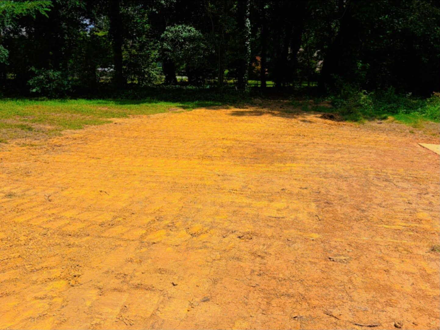
Well drained group B soil on a 2 to 6 percent slope is about the friendliest thing a dirt contractor gets handed. It takes a pad, it compacts, it sheds water without being asked, and a slab set on it in lifts stays where it was set. That makes grading and site prep on the valley side of Jacksonville a straightforward proposition, with two caveats: some of it is mapped severely eroded, meaning the topsoil has already gone, and none of it helps if the access to the lot is the actual problem.
Where the Water Does Sit
Jacksonville is a dry town on paper. Census hydrography puts less than ten acres of open water inside the whole city, less than any town nearby, and Patterson Lake accounts for most of it. National hydrography carries one named stream inside the limits, Little Tallasseehatchee Creek, and under two miles of it. Two named springs sit inside the city as well, Big Spring and Germania Spring.
So there is almost nowhere to put water. That matters, because the town does have a wet map unit: Monongahela loam on 0 to 2 percent slopes, hydrologic group C over D, with a fragipan recorded around two feet. On a lot underlain by that, rain fills the top two feet, meets a dense layer, and holds. In a place with a creek at the bottom of the hill you would simply take it there. Here, more often than not, the water has to be carried a good distance at a very shallow grade to reach anything that will accept it. That is what makes drainage and water control here a layout problem rather than a digging problem.
Five Hundred Houses to the Square Mile
Density changes the job more than most people expect. On a town lot in Jacksonville the constraint is rarely the dirt. It is the gate width, the power drop, the fence the neighbor put on the line, the tree that has to survive, and where a loaded truck can actually turn around. Those are the things that decide whether a half day of work is a half day of work.
Practically, that means the walk through on a Jacksonville lot is mostly about access and staging. It also means the work list skews toward the small end: a back lot that has gone to brush and needs land clearing, an old outbuilding or slab that needs to come out before anything else can happen, which is demolition, a parking area or a shop pad, or a driveway that has been patched enough times. Excavation and dirt work on a tight lot is as much about what leaves the property as what moves on it, because there is nowhere on site to put a spoil pile.
The Mountain Side Is Its Own Quote
Up Chimney Peak Tower Road and out along the east edge, none of the above applies. Ten inches to rock means building up rather than cutting down, so a drive or a pad on that ground gets made with imported stone and careful shaping instead of excavation. Slope decides where a machine can safely sit. Driveway and access work on a grade like that lives or dies on where the water is sent, because a steep approach with no turnouts becomes a ditch the first time it storms. The upper end of it gets judged in person, and where a machine has no business being, you will hear so plainly.
Working on a lot in town, a back half that has grown up, or a piece of ground on the mountain side? Call or text John at (706) 936-4615, or send it through the quote form. Access gets checked first, since on a Jacksonville lot that is usually what sets the number.