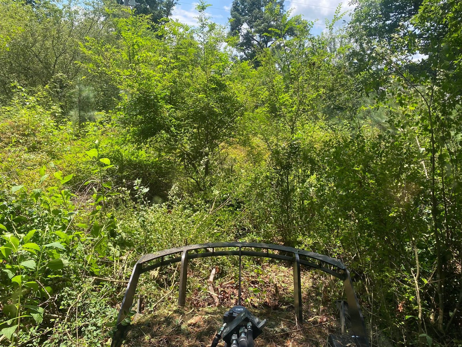
Piedmont is where the ridges run out. The city sits mostly in Calhoun County with part of it over the line in Cherokee, and at a little under ten square miles it has the smallest footprint of the Alabama towns Legacy Land Care covers. About 4,787 people live here in roughly 2,275 houses. US 278 and State Routes 9, 21, 200, and 74 all reach the limits, and North and South Main Street run the length of the place. Legacy Land Care covers Piedmont out of Rome, Georgia, about forty four miles away. Veteran owned, owner operated, fully insured, and the man who quotes the work is the man on the machine.
A Basin Divide Runs Through the City
The middle of Piedmont drains into a subwatershed called Lake Haven, Terrapin Creek. The edges of the same city fall into Nances Creek and into Ladiga Creek, Terrapin Creek. All three of those head for the upper Coosa. Then one corner of the limits falls into Flat Tire Creek, Tallasseehatchee Creek, which belongs to a different eight digit basin entirely. Two separate basins meet inside one small city.
That is not trivia. It means two properties three streets apart do not share an outlet, and a plan that works on one side of town has no bearing on the other. Inside the limits there is about four and a third miles of Nances Creek, roughly three of Ladiga Creek, and a short run of Glade Branch. If your ground drains toward one of those, that is the answer to where the water goes. If it does not, somebody has to find out where it does go before dirt moves, because on this ground the wrong assumption is expensive to unwind.
Severely Eroded Is a Survey Term and It Means Something
The largest map unit under Piedmont is Decatur and Cumberland clay loams on 2 to 6 percent slopes, severely eroded. Anniston shows up as well, mapped as a gravelly clay loam and carrying the same severely eroded tag on 6 to 10 percent grades. Decatur, Cumberland, and Anniston are all deep, well drained red soils in hydrologic group B, which are the ones you would want. The phrase severely eroded is the survey recording that the surface layer is largely gone and what is sitting on top now is subsoil clay.
Subsoil clay behaves nothing like topsoil. It seals over in a rain, it holds water in a thin film at the surface while staying dry underneath, and it sets up hard enough to argue with a blade when the weather turns off. It also churns into something useless if it gets worked wet, which is why timing matters more here than on sandier ground. Grading and site prep on a Piedmont lot is a question of when as much as how, and yard leveling that gets rushed in February prints the damage in for years.
Ten Inches to Rock on the High Side
The west and south edges of the limits climb. Elevation samples inside the city run from about 670 feet on the low end to about 830 feet on the shoulder below Bald Hornet, out on the flank of Choccolocco Mountain. Under that higher ground the survey stops being generous. Stony rough land, sandstone, with Gorgas as the major component on 25 to 45 percent slopes, records hard bedrock at roughly ten inches. Lehew and Montevallo, mapped together on 10 to 15 percent slopes, record weathered bedrock at about the same depth. All of them sit in hydrologic group D.
Ten inches is not a lot of dirt. It rules out anything that assumes you can simply dig deeper, and it means any excavation and dirt work on that side of town gets probed before it gets designed. It also settles the clearing question on its own. Scraping ten inches of soil off a 30 percent slope does not clear the land, it removes the land. Forestry mulching takes the standing material down to chips without disturbing what is holding the slope together, which on ten inches of soil is the only version of the job that leaves you a property afterward.
The Flat Ground Fails a Different Way
Down off the slope the map changes character completely. Lobelville silt loam sits on 0 to 2 percent slopes. Purdy silt loam on the same slopes is rated poorly drained. Atkins and Stendal, and Philo and Stendal, are local alluvium on flat ground, also poorly drained. And the survey records fragipans in several units here, with Monongahela and Locust at about two feet and Tyler a little shallower.
So a wet spot in Piedmont has two possible explanations that have nothing to do with each other. On the low ground it is flat soil with a dense layer under it and no fall to work with. Up on the shoulder it is water running across shallow soil on rock and stopping wherever the grade lets it. Same complaint, opposite cause, and the fix for one makes the other worse. That is the single most useful thing to sort out at the walk through, and it is why drainage and water control here starts with looking rather than quoting.
The Old Rail Grade Through Town
The Chief Ladiga Trail runs through the Piedmont city limits on the old Seaboard line, and the street names still say so: Seaboard Boulevard, East Ladiga Street, West Ladiga Street. Lots that back up to a former rail corridor are worth walking with your eyes open. A rail grade is made ground, cut in some places and filled in others, and made ground does not behave like the dirt beside it. Brush along a corridor like that also grows in a strip, which is exactly the shape fence line clearing is built for, and exactly the shape a bush hog cannot get into.
Have a slope going back to brush, a wet corner on the flat side of town, or a place you need opened up and kept that way? Call or text John at (706) 936-4615, or lay it out in the quote form. Bring your questions to the walk through. You will get straight answers on the spot.