Centre is the seat of Cherokee County and the water is part of the town, not just next to it. About 3,587 people live inside the city limits in roughly 1,713 houses, spread over a little under twelve square miles. US 411 runs through the middle of it. State Routes 25, 68, 9, and 283 all reach the limits, the Clarence E Chestnut Jr Bypass carries traffic around the edge, and Main Street, Cedar Bluff Road, Weiss Lake Boulevard, and North River Street handle most of the rest. Legacy Land Care works Centre out of Rome, Georgia, about thirty four miles east on US 411. The owner is John Mulkey. He takes the call, walks the property, and is the one sitting in the machine when the work starts.
The Lake Is Inside the City Limits
Census hydrography maps roughly thirty five acres of open water inside the Centre limits, and the name on it is Weiss. Watershed mapping names the basin under the middle of town Anderson Cove, Coosa River, Weiss Lake, and the one under the west side Pollard Bend, Coosa River, Weiss Lake. Elevation samples taken inside the limits run from about 560 feet at the water to about 660 feet on the higher blocks, so the whole city fits inside a hundred feet of vertical.
That hundred feet is not spread out evenly. Most of it turns up in the last stretch before the shoreline, which is why a Centre lake lot so often has a flat useful part and then a short pitch that gets steep in a hurry. Bare dirt on that pitch does not stay put. Whatever comes off it has a very short trip to open water, and there is nothing between the two to catch it. That single fact decides most of the plan on a property here: keep the cover on the steep part, and give the flat part somewhere to send water that is not straight over the break.
Conasauga Under the Middle of Town, Holston Beside It
The largest single map unit under Centre is Conasauga silt loam on 1 to 5 percent slopes. Conasauga is a shale soil, and the survey puts it in hydrologic group D, the highest runoff class it has. Weathered bedrock shows up under it around thirty inches. The second largest unit is Holston loam on 2 to 5 percent slopes, well drained, hydrologic group B. That is the good building dirt.
Those two lie side by side across the same town, and they do not behave alike. Ground with Holston under it will take a pad, a slab, or a shop and stay where you put it. Ground with Conasauga under it turns most of a rain into surface flow and passes the volume along downhill. On a platted block, downhill is usually a neighbor. This is worth settling before anybody prices dirt work, because grading and site prep that ignores which of the two you are standing on gets solved twice.
Cedarbluff Ground Has a Floor In It
Cedarbluff fine sandy loam is the third largest unit under the city, mapped on 0 to 2 percent slopes and rated somewhat poorly drained. The survey records a fragipan roughly two and a half feet down in it. Think of a fragipan as a natural floor: a tight, brittle band that lets water through at a trickle, which during a wet week amounts to not letting it through at all. Cloudland, also mapped here, has one a little shallower, around twenty six inches.
People get caught by this because the name says sandy. Sandy soil is supposed to drain. It does drain, right up until the top thirty inches are full, and then there is a lid underneath and nowhere left to go. The yard goes soft, stays soft, and dries out from the top on its own schedule. Nothing is broken. There is just no room left. Fixing it means routing the water off the surface before it soaks in, which is what drainage and water control is for on ground like this, and it is a very different job than dropping a load of dirt in the low spot.
Chert on the Steep Side
Firestone gravelly silt loam on 6 to 15 percent slopes covers a good share of the higher ground, and the Conasauga and Leesburg complex runs on slopes from 15 to 45 percent. Leesburg gravelly fine sandy loam fills in between. Gravelly, in this survey, means chert. Chert is stone hard enough to strike sparks off, it comes out in pieces rather than crumbs, and it loads a bucket with weight long before it fills it with volume. It also chews on a cutting edge. A cut that looks routine on a map can run slow once the machine is in it.
On the steepest of it, taking the cover off all at once is the expensive mistake. The root mat and the litter layer are the only things holding that hillside still. Land clearing that pulls stumps and root balls has its place on the flatter parcels, but on a real pitch, grinding growth where it stands and leaving the material down as cover is the answer that does not cost you the topsoil in the first hard rain.
Drives That Fall Toward the Water
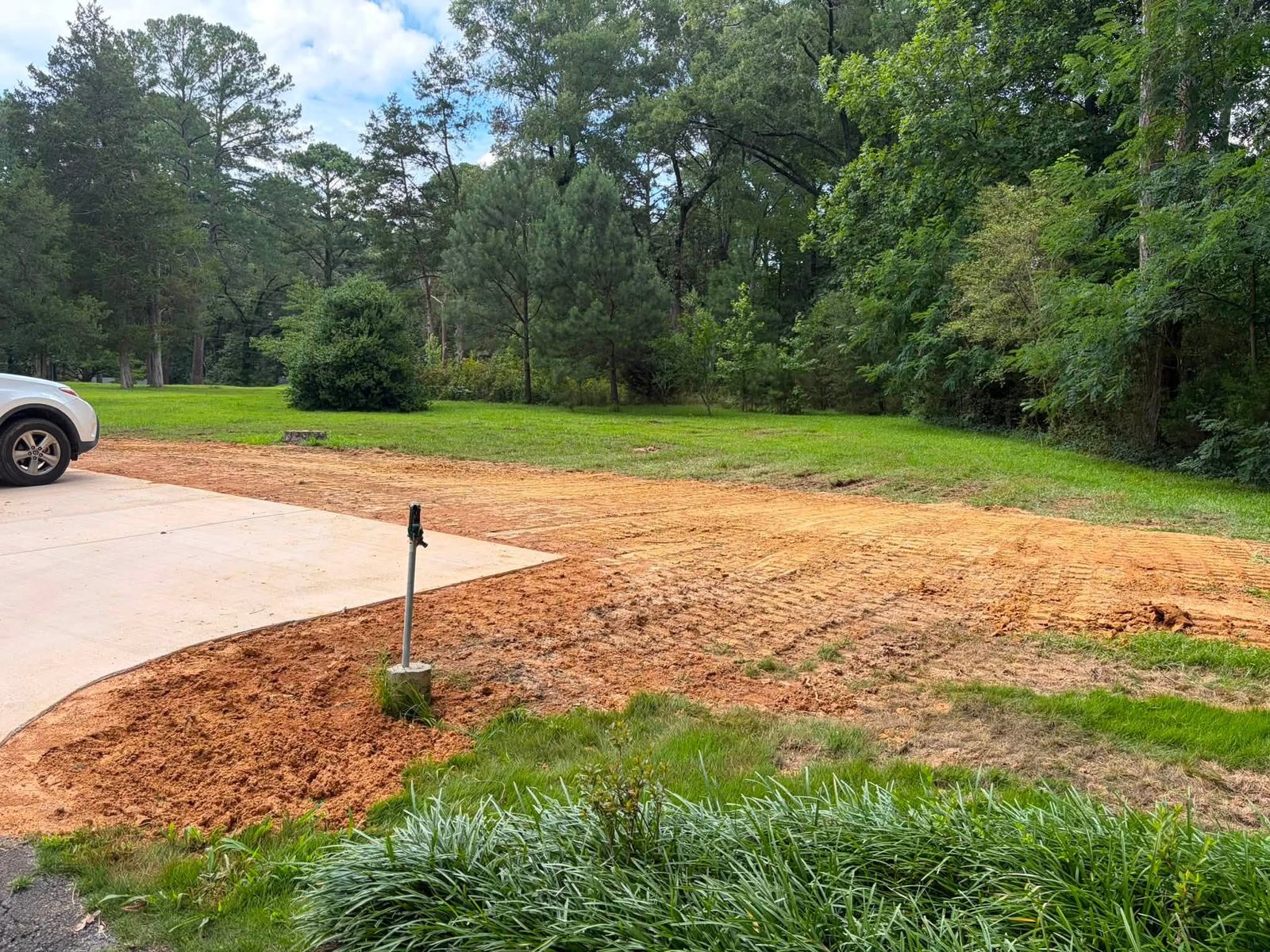
Off Cedar Bluff Road, Weiss Lake Boulevard, Tates Chapel Road, and the county roads out of town, an approach can run a few hundred feet and drop most of the way to a house near the lake. A drive on that line is a channel unless somebody builds it not to be. It needs a crown, so rain rolls off the shoulders rather than gathering and running the whole length. It needs a ditch on the high side, turnouts spaced close enough that no stretch builds up a head, and pipe wherever it crosses a low place. Falling ground is exactly the situation gravel driveway and access work exists to handle. Around the house, yard leveling is often less about looks than about killing the low spot that catches everything the roof and the drive send it.
One Named Creek, and Then Nothing
National hydrography carries exactly one named stream inside the Centre city limits: Big Nose Creek, about four and a third miles of it. Everything else that leaves a Centre property leaves it unnamed, through a ditch, a swale, a pipe, or across somebody else's ground. That is worth knowing before you change a property, because clearing an acre or paving an approach raises both how much leaves and how fast it goes, and the receiving end of that is usually not on your deed.
Got a lake lot with a bank that keeps giving up dirt, a yard in town that will not dry, or a Cherokee County parcel gone to brush? Call or text John at (706) 936-4615, or put the particulars in the quote form. Nothing gets priced off a picture.