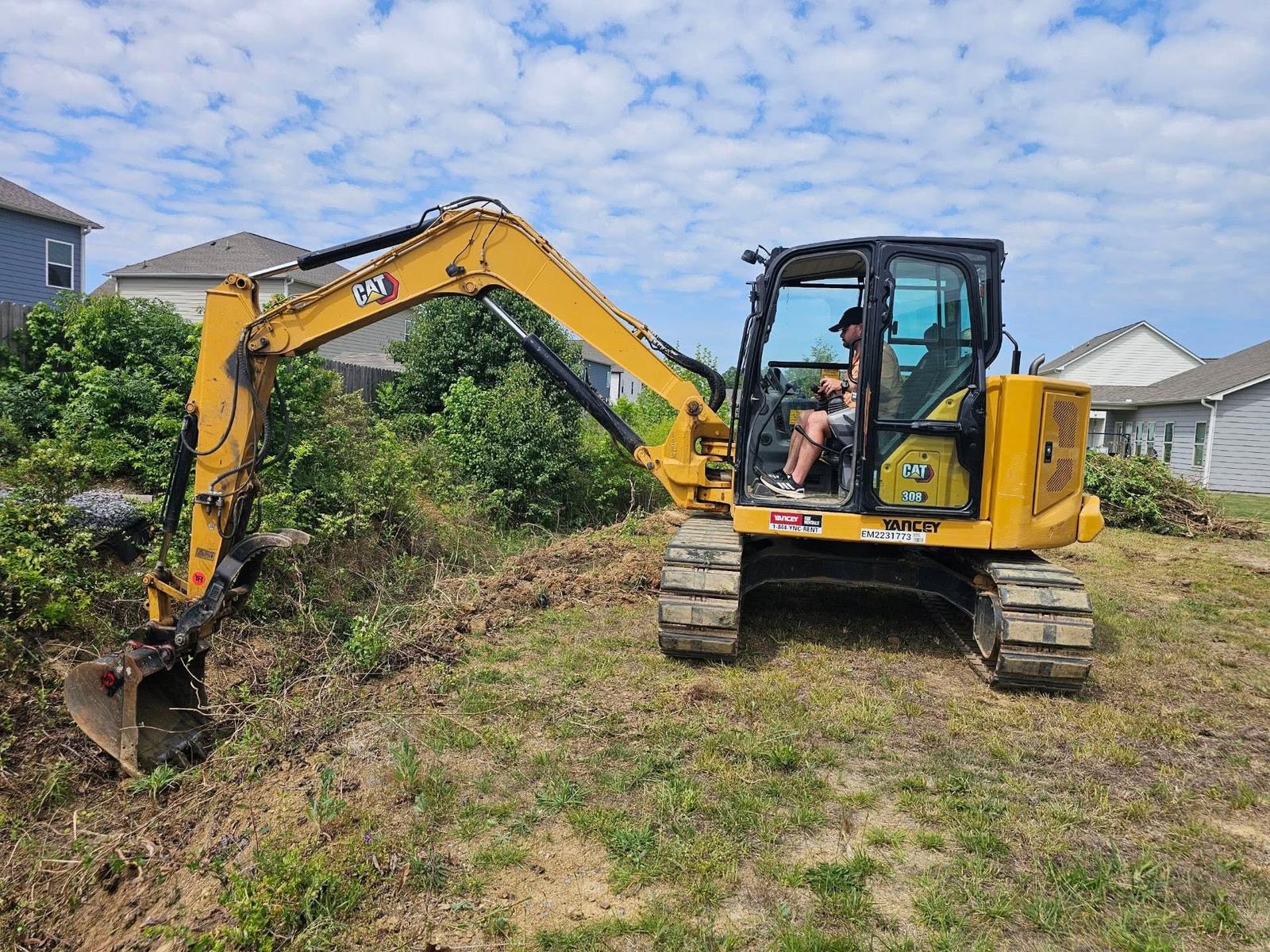
Hokes Bluff stretches about twelve square miles along the Coosa east of Gadsden. About 4,446 people live inside the limits in roughly 1,926 houses, which is around 160 houses per square mile. That number explains the place better than anything else does. Most of the city is still yard, pasture, wood line, and creek bottom rather than street. Count the highways reaching the limits and you stop at three: US 278 and State Route 74, which run together through town, plus the Herman Nelson Highway. Off those, the map is Appalachian Road, Blue Creek Road, Towncreek Road, New Bethel Road, Gossett Road, and a set of subdivision streets. Legacy Land Care covers Hokes Bluff out of Rome, Georgia, and John Mulkey runs every job himself.
A Hundred Feet of Fall Across the Whole City
Elevation samples taken inside the Hokes Bluff limits run from about 510 feet to about 610 feet. One hundred feet, across twelve square miles. There are single subdivisions in the hill country that have more vertical than this entire city.
That is the governing fact for property here, and it is not a complaint. Flat is easy to build on and easy to mow. What flat does not give you is gravity, and gravity is what moves water for free. On rolling ground you find a fall and use it. Here you have to earn it, inch by inch, over a long run. Every drainage answer in this town is a long, shallow, carefully shot line to somewhere that will actually take the water, which is why drainage and water control starts with figuring out where the outlet is and works backward from there.
Big Cove Creek Takes Almost All of It
National hydrography carries about eight and three quarter miles of Big Cove Creek inside the city limits, more named channel than most towns this size hold. Dry Creek adds about a mile and a quarter, Little Cove Creek about a mile, and roughly a third of a mile of the Coosa River itself touches the limits. Chums Lake sits inside the city. The subwatershed is named Turkeytown Creek and Coosa River.
So there is an outlet, and for most of the city that outlet is Big Cove Creek. The catch is what happens when the creek is up. Ground beside a channel does not just handle its own rain, it answers to the channel. When Big Cove is running high, the water table under the nearby ground comes up with it and everything that would normally drain toward the creek has nothing to drain into. That is why a yard here behaves one way in September and another way in February, and why it is worth knowing before somebody spends money regrading a low corner that is doing exactly what the bottom land is supposed to do.
Three Named Pans Under One Town
The soil survey records a fragipan in three separate map units under Hokes Bluff. Stemley cherty loam has one at about twenty three inches. Leadvale carries one at about two feet. Cloudland loam, mapped on 0 to 3 percent slopes, has one at about thirty inches. A fragipan is a lid: a dense, brittle layer that water crosses so slowly it might as well not cross at all in the space of a wet week.
Add the rest and the picture is consistent. The largest single unit under the city is Cedarbluff fine sandy loam on 0 to 2 percent slopes, rated somewhat poorly drained. Conasauga loam on 1 to 5 percent slopes and Firestone silt loam on 6 to 15 both land in group D, meaning the survey expects nearly all of a rain to leave across the top. Holston fine sandy loam is the well drained exception, and there is a Holston and urban land complex where a share of the surface is already roof and pavement.
Flat, capped, and rated to run off. Those three facts together are the whole reason yards act the way they do here. Water lands, soaks in a foot or two, hits a lid, and then has to travel sideways on almost no grade to get anywhere. Nobody built that in and nobody can dig it out. It is simply how this end of the county was assembled.
What That Means for a Yard, a Pad, or a Line
It changes three ordinary jobs. First, filling. Dropping dirt into a low spot on capped ground does not absorb the water, it relocates it, and the new low place is somewhere else on the property or on the one next door. Real yard leveling here is about giving the surface consistent fall toward an outlet, not about making a hollow disappear.
Second, digging. A trench cut through a dense layer and backfilled loose becomes a path of least resistance for water that could not move before. That can be useful if it is where you wanted the water to go and a real nuisance if it is not, so trenching on this ground is planned with the backfill in mind rather than as an afterthought.
Third, building. A shop, barn, or garage pad on ground like this gets set high and shaped so all four sides fall away from it, because there is no natural fall to rescue a pad that was set flush. That is the core of grading and site prep in Hokes Bluff, and it is cheaper by a wide margin to do at the start than to chase after a slab is down.
Big Lots Grow Back
At 160 houses to the square mile, most properties here have a back half, and back halves close in. A pasture or field edge left alone goes to briars, brush, and volunteer pine, and it moves inward a little every season until the open ground is noticeably smaller than it used to be.
Keeping it open is straightforward work done on a schedule. Bush hogging handles the field and pasture ground that is still grass under the growth. Where the growth has gotten past what a mower can take, it needs cutting back first before mowing means anything again, and boundaries get reopened with fence line clearing so the line stays visible. What has to be checked before any of it is what is hiding in the tall stuff, because old wire, posts, stumps, and dumped junk are what turn a routine afternoon into a repair bill.
Have a yard that stays soft, a pad going in on flat ground, or a back field that has closed in? Call or text John at (706) 936-4615, or write it up in the quote form. On this ground the outlet gets found first, because without one nothing else matters.