DeKalb County, Alabama is two flat-topped plateaus with a valley cut down the middle of them. Sand Mountain holds up the west side, Lookout Mountain the east, and Wills Valley runs between the two from the Georgia line down past Collinsville. Rainsville, up on Sand Mountain, sits 387 feet above Fort Payne, and the two are only eight miles apart. Nothing about this ground behaves like Georgia Piedmont clay, because there is no clay under it. There is sandstone.
Sixteen Towns and 777 Square Miles
Sixteen places in this county have a limit sign, which sounds like a lot until you set it against 777 square miles. Most of DeKalb is farm: poultry houses, hay, cattle, row crop on the plateau tops, and hardwood down the brows and gulfs where nobody could ever plow. That is the ground this page is about.
Farm and acreage work carries a different set of problems than a homesite does. Fence lines grow shut on a schedule nobody controls. Pasture goes back to privet and sweetgum after two seasons of nobody mowing it. Hunting tracts need lanes and openings put in without turning the woods into ruts. And every one of those jobs is happening on soil that is measured in inches rather than feet, so the difference between clearing land and stripping it is real.
Thin Sandy Soil Over Sandstone
Hartsells is a quarter of this county by itself, better than 109,000 acres. It is a sandy loam formed in place on hard acid sandstone, sitting on the broad flat plateau tops, and rock is about three feet down. That is the good ground here, and three feet is what good looks like. Second is Muskingum in its Gorgas phase at roughly 57,600 acres, and it meets hard rock at sixteen inches on slopes where sandstone outcrop is part of the normal landscape. Crossville, another plateau sandstone soil, hits rock at fifteen.
Wynnville is the one that fools people. On the surface it reads like Hartsells. About two feet down it turns into a fragipan, a dense brittle layer that water will not cross at any useful rate. It covers close to 46,000 acres, and Leadvale and Johnsburg carry pans of their own. Water that reaches one of those layers stops going down and starts running sideways just under the surface, which is why a plateau field with no visible slope can hold a wet streak all spring.
The whole picture changes when the ground drops off the brow into Wills Valley. Down there the rock is limestone and dolomite, and the soils are Clarksville and Fullerton, both loaded with chert, plus Talbott, a clay sitting on limestone. Clarksville is the one soil down there that the survey puts in its lowest runoff class, which means valley slopes can swallow water that would have run straight off a plateau field a few miles away and several hundred feet up.
Most of This County Drains Away From the Coosa
People assume everything here runs to Weiss Lake. It does not. About 54 percent of DeKalb County drains northwest off Sand Mountain into Guntersville Lake and the Tennessee River, mainly through Town Creek, which covers nearly 95 kilometers inside the county line, and South Sauty Creek. Another 6 percent, off the northern end, goes to the Tennessee by way of Lookout Creek. That is 60 percent of the county headed for the Ohio and the Mississippi.
Only about 22 percent, the Wills Valley floor, follows Big Wills Creek south to the Coosa. Another 18 percent is Little River and its west fork, which is the unusual one: a river that runs the length of the top of Lookout Mountain before it drops off. Scarham Creek takes the southwest corner of Sand Mountain. Four subbasins, two oceans, one county.
Rain totals do not vary much across that, but temperature does. The Wills Valley station at Fort Payne averages 62.2 degrees and 58 inches. The Sand Mountain station averages 59.5 degrees and 56.6 inches. Valley Head, at the north end, gets five inches of snow a year against a bit over one inch at Sand Mountain Substation. Practically, the plateau tops stay frozen and stay wet longer in late winter than the valley does, and that shows up in what a machine can do in February.
What Sandstone Country Asks of a Job
The first rule on thin soil is not to move it. Where a tract needs opening up, land clearing gets planned around how much dirt gets disturbed, because pushing sixteen inches of Gorgas into a pile leaves you with rock and a windrow instead of a field. On the plateau tops there is more room to work, but three feet of Hartsells is still not something to spend carelessly.
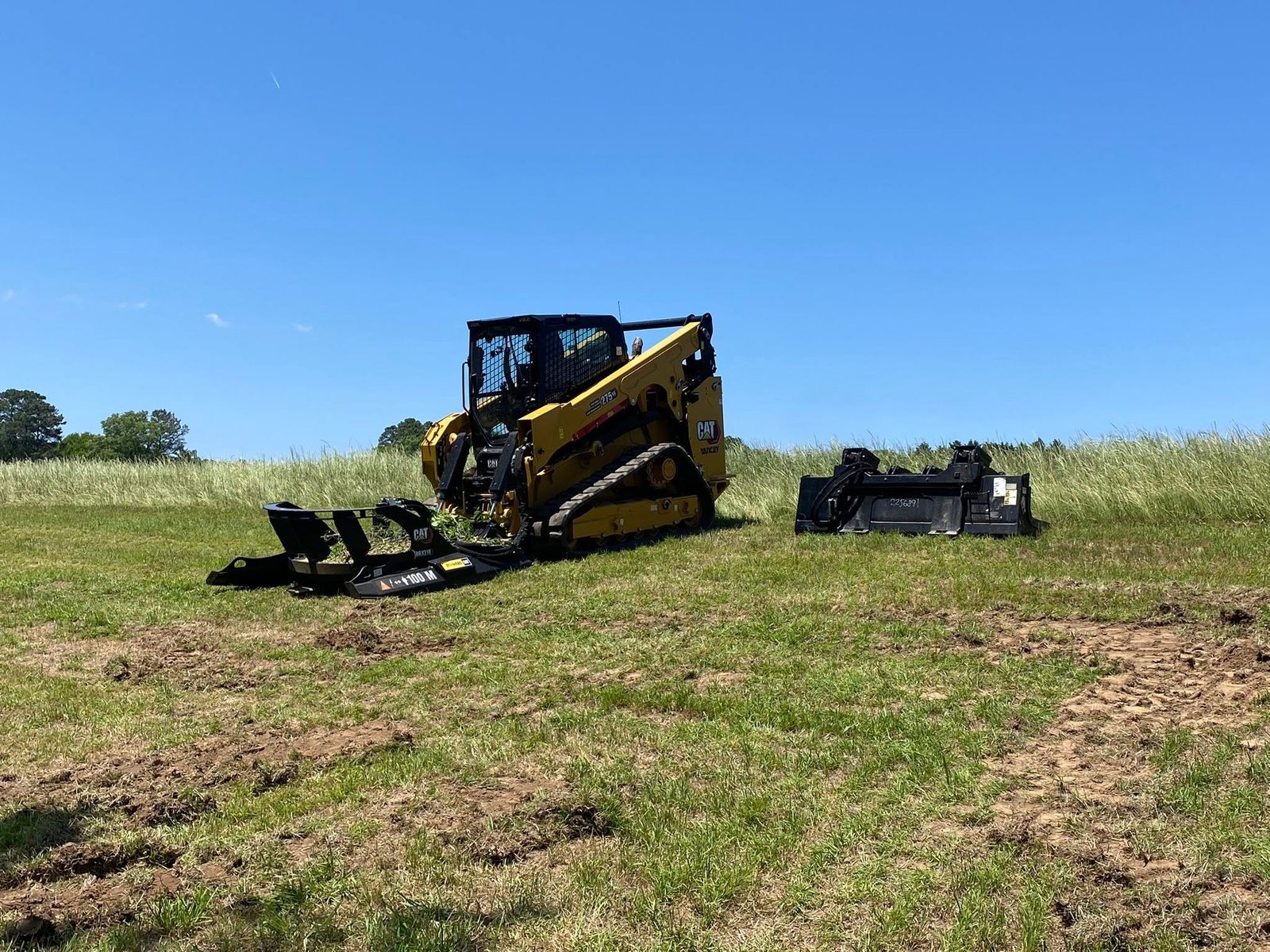
Grown-up fence lines are their own job and they are constant here. Fence line clearing takes back the strip along a boundary or a cross fence without tearing out the posts or the wire, and on a farm with a few miles of fence that is the difference between a line you can walk and a line you have to hunt for. It also puts an end to the sapling that grows through the woven wire and lifts it.
Pasture that has just gotten ahead of you is usually a bush hogging job rather than a clearing job. Where the stems have gotten too heavy for a rotary cutter, it moves up a class. The judgment call is whether the stand is still grass with brush in it or brush with grass in it, and that is a five-minute answer standing in the field.
For hunting and timber tracts, recreational land work is access lanes, food plot openings, and shooting lanes cut where you want them instead of where the terrain forced them. On this county's ground the two things worth insisting on are staying off the wet streaks over a fragipan until they firm up, and keeping lanes off the brow edges where the soil is shallowest and the fall is longest.
If you farm or own acreage anywhere from Sand Mountain across Wills Valley to Lookout Mountain, text a few photos and an acreage to (706) 936-4615 or fill out the quote form. John will tell you what the ground is likely to do before he tells you a number.