Henagar has a lot of city limit and not many people in it. About 22.6 square miles of town, 2,292 residents at the 2020 count, and roughly 1,087 houses. Work that out and it comes to better than thirteen acres for every house in the city. State Route 75 runs about seven miles through it north to south and State Route 40 about five miles east to west. Everything else is farm road. Legacy Land Care is a veteran owned outfit out of Rome, Georgia, roughly 57 road miles from here. John Mulkey quotes the job and then runs the machine on it.
A City That Swallowed Four Crossroads
Four named crossroads communities sit inside the Henagar limits. Biddle Crossroads, Pea Ridge Crossroads, Brooks Crossroads and Elliott Crossroads were all on the map before the limits reached them, and Keith Hollow, a named valley, is in there too. That is not a curiosity, it is a description of how the place is laid out. Henagar is not a downtown with houses around it. It is a set of old road junctions with farms strung between them, and the city limit is a line drawn around the whole arrangement.
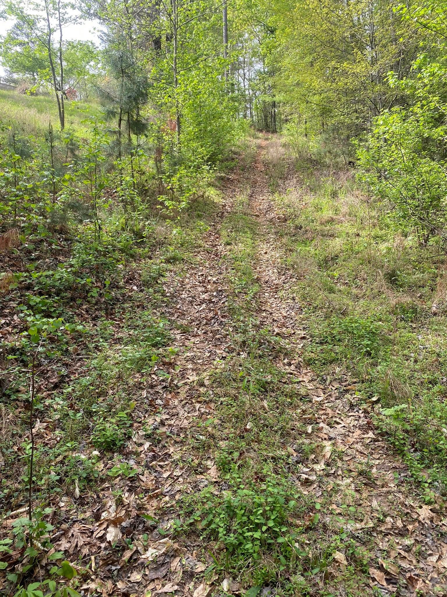
What that means for work is that nearly every job here is an acreage job. Grown up fence lines, pasture that got away, a lane back to a barn, a stand of privet and sweetgum eating a hay field from the edges in. The roads tell the same story: County Road 131, Lacy Road, Bellview Road, Hilltop Road, Ridgeview Road, Roberts Road, Weaver Road, Liberty Road, Wright Road, Culver Road and Lees Chapel Road. Only about a hundred named local roads serve almost 23 square miles.
The Highest and Roughest of the Plateau Towns
Sample the ground across the Henagar limits and it runs from about 1,360 feet up to about 1,670. Pea Ridge Crossroads sits near 1,667 feet and Keith Hollow near 1,359, so there is better than 300 feet of difference between two named places in the same city. Sample Rainsville, Sylvania or Crossville the same way and none of the three spreads even 185 feet.
The soils follow the terrain. Muskingum in its Gorgas phase covers roughly 17 percent of the town, most of it stony and much of it on ten to twenty percent slopes, and it meets hard rock at about sixteen inches. On the survey's runoff scale it sits at the top, meaning it sheds almost everything that lands on it. Eleven percent of the whole city is mapped in that ten to twenty percent slope band, with another eight percent at five to ten.
Sixteen inches is the number to keep in mind. A dozer blade takes that off in one pass and leaves you standing on rock with a windrow to deal with. Forestry mulching is the right first tool on most of this ground for exactly that reason: it grinds the growth where it stands, drops the material back as cover, and never disturbs the layer holding the hill together. When a tract truly needs the stumps gone, land clearing gets laid out around how little soil has to be disturbed, not how fast the place can be flattened.
South Sauty Creek and 122 Ponds
South Sauty Creek runs close to six miles inside the Henagar limits. Spring Hill Creek, Horsehead Creek, Pole Creek, Day Branch, Glade Branch, Presswood Branch, Keith Branch and both forks of Bengis Creek fill in around it. The limits cross four subwatersheds, named for Bryant Creek, the upper South Sauty, Bengis Creek, and Snake Creek with Town Creek.
Standing water is the other half of it. There are 122 mapped ponds inside this city. Three carry names on the map: Gilberts Lake, Lake Storie and J R Gilberts Lake. The rest are farm ponds, and farm ponds age in a predictable way. The dam grows up in saplings, the spillway silts in and narrows, the upper end fills with what washed off the field above it, and the whole thing gets shallower every year nobody touches it. Getting brush off a dam and reopening a lane to the water are ordinary jobs on a place like this, and they belong in recreational land work along with lanes, openings and access to the back of a tract.
Fence Lines and Pasture Are the Steady Work
With thirteen acres per house, the two jobs that come back every year here are the fence line and the field. A boundary that has not been cut in three seasons is not a mowing problem anymore. Saplings come up through woven wire and lift it, briars mat the bottom, and eventually you cannot walk the line to find out what the fence is even doing. Fence line clearing takes the strip back without pulling the posts and wire out with it.
In an open field the question is simpler than people make it. If it is still grass with brush coming through, bush hogging handles it. If the stems have gotten thick enough to stop a rotary cutter, it has moved up a class and needs a mulcher. Walking out into it settles the question in about five minutes, and since the two answers do not cost the same, that walk happens before anything gets scheduled.
The last piece is getting in. A lane on ten to twenty percent ground with hard rock that close under it does not get built by cutting into the hill. It gets built up with stone, crowned, and broken with turnouts so no stretch collects enough water to start cutting. That is what driveway and access work means on this end of the mountain.
Got a fence line grown shut, a pasture going to brush, or a pond you cannot get to anymore? Call or text John at (706) 936-4615, or send the details through the quote form. He would rather stand on the ground once than guess at it twice.