Sylvania holds more standing water than a plateau top has any business holding. About 61 acres of it sit inside the town limits, and 46 ponds are mapped across eight and a half square miles. Rainsville, Henagar and Crossville put together come to roughly half as much water as this one small town. The 2020 count put 1,790 people here in roughly 759 houses. State Route 75 runs through as Sylvania Avenue, North and South. Legacy Land Care covers Sylvania from Rome, Georgia, about 61 road miles off. Veteran owned, owner operated, and the man who prices the job is the one on the controls.
The Town Comes in Pieces
Sylvania is not one shape on the map. Six separate bodies of ground carry the town limit, and three pockets sitting inside the main body are not in town at all. The largest piece runs about 4,400 acres. A detached piece off to the east runs close to 1,000 more. After that there are four smaller ones, down to a few acres apiece.
The street pattern shows the same thing. There is a small numbered grid in the middle, Second Avenue Southwest, Third Avenue Southwest, Fourth Street Southwest, Sixth Street South, Seventh Street North and Main Street South, and then long arms reaching out from it. Blue Pond Boulevard West and Blue Pond Boulevard East together run over seven miles. County Road 27 runs better than seven on its own. Lakeview Drive, Burnt Church Road, Dendy Road, Shirley Road, Hendrix Road, Summerour Road and Carissa Road fill in between.
For anybody working here that layout matters more than the population does. Two properties with the same mailing address can be a small platted lot behind the grid and a fifteen acre parcel three miles out with a quarter mile lane to it. They need different equipment, different access planning and different money, and the map does not tell you which one you are looking at until you get there.
The County Lake Laps Into Town
The DeKalb County Public Lake covers about 118 acres, and roughly half of it falls inside the Sylvania limits on the north side. That single body accounts for most of the open water in town. Browder Spring is in here too, a named spring at about 1,395 feet, with Browder Spring Branch running off it.
Ground near standing water behaves differently from ground a mile away, and the difference is not just the obvious one. A lake or a big pond holds the water table up under the parcels around it, so a lot that drains fine in August will not act the same in February. That is not a defect and it is usually not worth fighting. What it does mean is that regrading a low corner near the water often buys nothing, because the water is not coming across the surface, it is coming up. Figuring out which of the two you have is the whole point of drainage and water control on this side of town.
Working around a pond or a lake edge has its own rules. The main one is not to hand the water your dirt. Bare soil on a slope above open water goes into the water at the first hard rain, and once it is in there it is expensive to get back out. That is a strong argument for forestry mulching over blade work anywhere the ground falls toward water, since it clears the growth and leaves the root mat and a layer of chips holding the surface down.
Thin Soil, Fast Runoff, Short Distances
Hartsells accounts for close to two fifths of Sylvania, well drained sandy loam over hard sandstone. Another 14 percent is stony Muskingum, mapped here in its Gorgas phase, sitting mostly on the steeper pitches, and the survey puts it in the runoff class that sheds the most and takes in the least. Roughly ten percent of the town sits on ten to twenty percent slopes. The whole city only spreads about 160 feet from its lowest sample to its highest, but that gentle average hides some genuinely steep short pitches along the creek edges.
Short and steep is the pattern. Water does not travel far here before it reaches something: South Sauty Creek, Caney Creek, Bengis Creek and its west fork, Mahan Branch, Clark Branch or Browder Spring Branch. Eight and a half square miles of town limits fall across five different subwatersheds. Runoff has almost no distance to spread out and slow down, so what leaves a property arrives somewhere in a hurry.
That is why the order of work matters. Where the outlet goes gets settled before the first cut, not after the job is finished and the neighbor calls. On a homesite or a shop pad, grading and site prep sets the building high and carries fall away on every side. Where the dirt has to move to make that happen, excavation and dirt work does it, and on thin plateau soil the honest measure of a good job is how little of the original ground got shoved around.
Getting Back to the Back of a Place
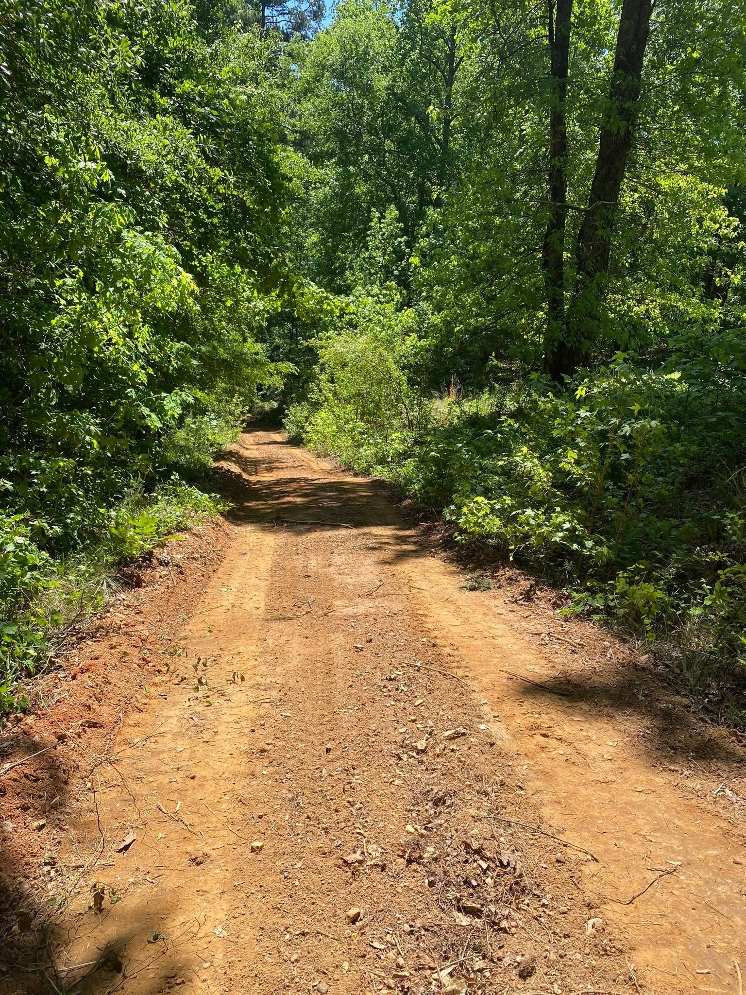
With parcels scattered the way they are here, access is half of what gets asked for. A lane running a quarter mile off County Road 27 or off one of the Blue Pond arms is a piece of drainage that happens to carry a truck. The surface gets a crown so nothing pools on it, the high shoulder gets a ditch, and turnouts get set often enough that no one stretch ever collects the volume it would take to cut a channel down the middle. Where a lane has to cross a wet draw, the crossing gets built to pass the water instead of dam it. All of that falls under driveway and access work, and it deserves more thought than the top layer of stone everybody looks at.
For a hunting tract or family land out one of these arms, recreational land work is lanes, openings and a way to get equipment in without leaving ruts you look at for five years. And where a place has simply grown shut, land clearing takes it back, sized to what that particular pitch and that particular dirt can take without giving something up.
Got a place near the lake that stays wet, a lane you can no longer get down, or ground that has grown up on you? Call or text John at (706) 936-4615, or send the details through the quote form. Price comes after he has seen it.