Rainsville is where State Route 35 crosses State Route 75 on top of Sand Mountain. Route 35 is Main Street through town, Main Street West on one side and Main Street East on the other. Route 75 is McCurdy Avenue, North and South. Between them those two routes cover about fifteen miles inside the city limits. The 2020 count put 5,536 people here in roughly 2,438 houses, spread over nearly 21 square miles of limits. Legacy Land Care covers Rainsville from Rome, Georgia, about 55 road miles off. John Mulkey owns the company and runs the machine himself.
Two Soils in Almost Equal Share
The survey splits this town close to down the middle, and the halves do not act alike. Hartsells takes about 39 percent of the ground inside the limits. It is a well drained fine sandy loam with hard sandstone roughly three feet beneath it. Wynnville takes about 38 percent, and from a truck window it is the same dirt. The difference shows up at roughly twenty five inches, where Wynnville turns hard and water stops going down.
On a street in Rainsville that means two lots a few hundred feet apart can behave like different properties. One takes a heavy rain and forgets it happened. The other stays soft into spring on ground that looks perfectly level. Neither one is broken. They are separate soils that read identical from the road. It matters before money gets spent, because a yard sitting over a pan does not dry out because somebody regraded it, and a yard on Hartsells rarely needs half of what gets sold to fix it. Drainage and water control here starts by identifying which soil the property actually sits on.
Ten Named Creeks and No Single Downhill
Ten named streams carry water off this town. Ivy Creek has the longest run inside the limits at better than four miles. Town Creek, Caney Creek, Piney Creek, Phillips Branch, Graveyard Branch, Sparks Branch, Big Branch, Morgan Creek and a short piece of South Sauty Creek handle the rest. They do not all head the same direction. The Rainsville limits fall across three separate subwatersheds, one named for Mush Creek and Big Wills Creek, one for the upper end of South Sauty Creek, and one for Reedy Creek and Town Creek. A parting line runs through this town, and which side of it a property sits on decides where its runoff finishes up.
The practical version is that Rainsville has no one downhill. On a parcel near the Route 35 corridor the outlet might be a quarter mile in one direction, and three streets over it is the opposite way. Settling that question comes first on any job that raises how much water leaves a property, and that describes most jobs.
Bootsville Gap, Davis Gap, and Very Little Fall
Two gaps carry names inside the Rainsville limits. Bootsville Gap sits near 1,265 feet and Davis Gap near 1,296. Sample the ground across the whole city and the high side runs about 1,350 feet while the lowest corner sits near 1,165. Under 200 feet of spread across 21 square miles is a flat town by any measure, and roughly 44 percent of it is mapped at two to six percent slopes.
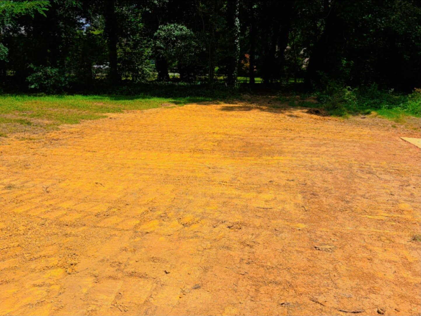
Flat helps. It also hides things. Fall too gentle to see with your eye still has to be respected when a pad goes in or a drive gets rebuilt, because a quarter inch to the foot pointed the wrong way decides whether a slab stays dry. Grading and site prep on ground like this gets shot with a laser rather than judged by eye. Same goes for yard leveling on an older town lot that has settled into dips over thirty years.
Platted Blocks, Then County Roads
Rainsville does not have one kind of property. In the older blocks it is small platted lots off Church Avenue, Everett Street, Garrett Street and Parker Avenue, tight enough that how the machine gets in is half the plan. Out from there it is George Wallace Drive, Rainbow Avenue, Mountain View Drive and the newer streets. Past those it turns into County Road 91, County Road 92, Marshall Road, Kirk Road and Horton Road, where parcels get measured in acres and the community names on the map are older than the city limits: Plainview, Chavies, Lands Crossroads, Pope.
Twenty one square miles holding 2,438 houses works out to more than five acres apiece, so most of what carries a Rainsville address was never a town lot. Land clearing, excavation and dirt work, and gravel driveway and access work all come up out there. On a drive, the money belongs in the part nobody sees: base depth, a crown that actually sheds, and somewhere for the low end to let go, so the surface is not doing the draining.
Steep Corners on a Level Town
Not all of it is gentle. About two percent of the ground inside the limits is mapped as steep sandstone rockland on 25 to 45 percent slopes with rock roughly a foot down, and another slice runs stony at five to ten percent. Those pieces are small and scattered. They are also where the fewest inches of soil are, so scraping them is how a place loses what it has. Forestry mulching is the better tool on that ground. Growth gets ground down in place, and the roots that were holding the bank stay in it.
Got a lot in Rainsville that holds water, a drive that needs rebuilding, or acreage out a county road with a thicket where a field used to be? Call or text John at (706) 936-4615, or send the details through the quote form. The number comes after the walk, not before it.