Ask what the ground is like in Walker County and the fair reply is a question back: which Walker County. Sixty one and a half percent of these 446 square miles rides on the Cumberland Plateau, sandstone on top and steep faces falling away from it. The other thirty eight and a half is limestone valley floor. Pigeon Mountain reaches 2,327 feet. McLemore Cove, folded against its flank three and a third miles away, lies at 808. Those two numbers belong to the same county and to almost none of the same work.
Five Towns and Then 429 Square Miles of Something Else
Five incorporated places hold territory here: LaFayette at about 7.4 square miles, Chickamauga at 3.1, Fort Oglethorpe at 2.6, Lookout Mountain at 2.6, and Rossville at 1.6. Added up, that is 3.8 percent of the county. Everything remaining, something near 429 square miles, is hay ground, planted pine, hunting tracts back in the gulfs and coves, and houses set a quarter mile off the pavement at the end of a gravel lane.
Acreage changes the arithmetic of a job. No one at the property line accepts your runoff on your behalf. A well head needs the finished surface tipping away from it. A septic field is not a place to park a machine or stack spoil. A fence line follows the perimeter of a hundred and sixty acres rather than the back of a lawn, and the lane in is frequently the single route a loaded trailer can take to reach any of it. Those constraints get read off the ground itself, not off a drawing.
Sandstone Overhead, Chert Underfoot
Plateau soils formed in residuum off sandstone and they are not generous. Hartsells spreads over about 20,500 acres and holds to roughly thirty two inches before it meets rock, which counts as deep up top. Hector quits at fifteen. Montevallo, on the shale faces spilling off the escarpment, quits at eleven. Below the rim lie Nella and Bouldin, sandstone colluvium the survey maps on grades running to sixty percent. Nothing gets benched casually in that.
Drop into the valley and the inventory inverts. Minvale leads the whole county at roughly 30,500 acres, a cherty loam that lets water through and hands up fragments while it does. Shack follows at about 24,900 and hides a fragipan near three feet, a brittle band water barely crosses. Bodine and Fullerton are the chert soils in earnest, and Bodine is one of only three soils in Walker placed in the lowest runoff class even though the survey maps it on grades to sixty percent. Townley is the mirror image: shale, highest runoff class, weathered rock about twenty seven inches under the surface.
Four Subbasins, Two River Systems
Not many counties feed two different major rivers. This one does. Half of Walker, 50.5 percent, drains north through the Chickamauga creeks and Chattanooga Creek toward the Tennessee. Another 31.7 percent runs south into the Coosa, and the Chattooga River that later passes Summerville and crosses into Alabama gathers its first 25.6 kilometers inside this county. A further 17.1 percent slides east and southeast to the Oostanaula behind East and West Armuchee Creek. A last 0.7 percent belongs to the Conasauga.
Ninety nine named streams carry flowline inside the boundary. West Chickamauga Creek is the longest at 46.3 kilometers, Cane Creek covers almost 25, and Duck Creek and Rock Creek take water off the plateau edge. The practical upshot is that a ridge decides where your water is headed, not the way the driveway faces, and knowing which ridge you sit behind is what tells you whether a ditch has anywhere legitimate to empty.
Volume is not in short supply. The Chickamauga 2 SW gauge, inside the county, normals 57 inches a year at 61.2 degrees, and the fat months are cold ones: 5.90 inches in December, 5.60 in March, 5.34 in January, 5.29 in February. October is the thin month at 3.25 with August close behind at 3.66. Late summer into fall is when this ground is firmest under a machine.
Matching the Work to the Ground
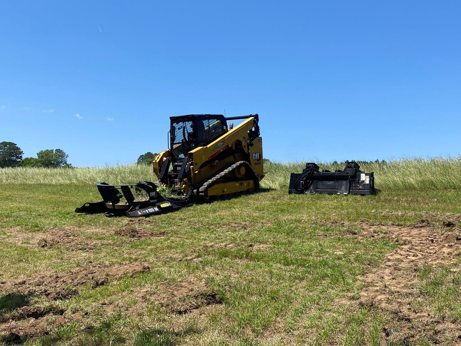
Elevation picks the method. On the tableland and the escarpments, shallow soil over rock means a cut drawn flat on paper can meet refusal at the shoulder, and stripped slope begins shedding the moment the canopy is gone. Forestry mulching suits that setting, because the material stays put as chips and the root network keeps holding the face. On the valley floor, where the destination is pasture again or a building site, land clearing lifts stumps and root systems clear so nothing is left to settle under what follows.
Grazing and hay ground is a standing category of work in a county this size. Let the mowing lapse and sweetgum and privet take a field back within a few seasons, and past a certain height a rotary cutter either rides over the top or breaks on it. Bush hogging holds a field that is still a field. Fence line clearing reopens a boundary far enough that posts can be set and the run can be read corner to corner. On a quarter section neither one is a trim.
Barn and shop sites turn on shedding water away from the structure and turning aside whatever the slope above is delivering, which is the job grading and site prep exists to do out here. Two complications are local. Where Shack or Wax underlies a site, the fragipan pushes water sideways instead of down, so the pad has a second drainage problem below the one anybody can see. Where Townley or Lyerly is the subgrade, the clay expands wet and contracts dry, and whatever bears on it rigidly travels with it.
Outside the LaFayette, Chickamauga, Rossville, Lookout Mountain, and Fort Oglethorpe limits, out toward Kensington, Villanow, Naomi, Rock Spring, or Flintstone, reach John by call or text at (706) 936-4615, or put the details in the quote form. The property gets looked at before a number gets attached to it.