Chattanooga Valley is unincorporated Walker County, a name the Census puts on just over seven square miles of settled valley between the mountain and the ridge. Roughly 3,962 people live in it, in about 1,709 houses, which makes it the thinnest settled of the communities along this side of the state line. No US route touches it. State Route 341 comes through as Chickamauga Road and State Route 193 crosses it, and past those the ground belongs to Chattanooga Valley Road, Dry Valley Road, Nick A Jack Road, Flintstone Road, Ridgeland Road, and Burnt Mill Road. The old settlement names are still on the map: Flintstone, Eagle Cliff, Happy Valley, Mountain View, Valley View, Green Hills, Moons. Legacy Land Care serves this valley out of Rome. It is John Mulkey's company and John Mulkey's seat time.
The Mountain Is Inside the Boundary
Most communities sit next to their mountain. This one contains part of its own. Sampled across the community, the ground runs from about 676 feet on the valley floor to better than 1,460 feet on the west side where the boundary climbs the flank of Lookout Mountain. That is close to eight hundred feet of vertical inside one small community, more than three times what the towns out in the open valley have to work with.
Every part of the work follows from that number. Water does not originate on your lot here, it arrives on it, sometimes from a long way above and moving fast by the time it gets there. A wet corner in this valley is frequently somebody else's rain, and no amount of shaping the last fifty feet fixes what is coming across the first five hundred. The useful move is interception: catch and turn water above the thing you are protecting, rather than trying to out muscle it at the bottom. That is the shape drainage and water control takes at the foot of a mountain.
This Dirt Came Down the Hill, and It Brought Rock With It
The soil survey maps the slope side of Chattanooga Valley as a Bouldin and Nella complex on 20 to 60 percent slopes, and it labels that unit very flaggy. Flaggy means flat rock fragments through the soil profile, and here they are sandstone off the cap of the mountain, carried down and stacked up over a very long time. Right beside it the survey maps Bodine gravelly silt loam on 25 to 60 percent slopes, a chert soil that drains about as fast as anything in this county. Toward the middle it goes to Minvale and Shack on 15 to 25 percent slopes, with Cunningham silt loam on the moderate grades and a rocky Colbert and Lyerly complex down on the flatter ground.
Rock in the profile is the single fact that changes budgets here. A trench that would take an afternoon in valley clay can take considerably longer through flagstone and cobble, which is why trenching on the slope side gets walked and probed before it gets a number. Stumps come out with rock wedged into the root ball. Buckets come up heavy and edges dull early. And excavation and dirt work on a 30 percent grade with rock in it is a different job from the same cubic yards on a flat lot, no matter what a plan sheet says.
There is an upside worth knowing. Bouldin and Bodine both drain freely, which is the opposite problem from the tight clays a few miles east. On this side the trouble is rarely water sitting still. It is water leaving too fast and taking soil with it.
Four Watersheds, Two Springs, and No Town in the Middle
For a place this size the hydrology is busy. Chattanooga Creek runs better than two and a half miles inside the community, Rock Creek better than two, Dry Creek about a mile and a half, and Coke Oven Branch a stretch as well, with Sawmill Branch named up in the north end. Four subwatersheds meet here: Chattanooga Creek, Powder Mill Branch and Chattanooga Creek, Long Branch and Rock Creek, and West Chickamauga Creek. Tannery Spring and Williams Spring both surface inside the boundary, up near Tannery Gulf.
What this valley does not have is a town. There is no city hall here, no city crew, and no municipal storm system under the roads to receive what a property sheds. Between neighbors, water is settled by grade and by whatever pipe and ditch somebody put in years ago. That is worth understanding before you change a property, because taking the cover off an acre, or putting in a new drive, sends more water off your ground and sends it faster, and here that difference lands on the next place down the hill. Deciding where it goes before anything gets cut is cheaper than sorting it out later with the man below you.
Long Drives and Land Held for Its Own Sake
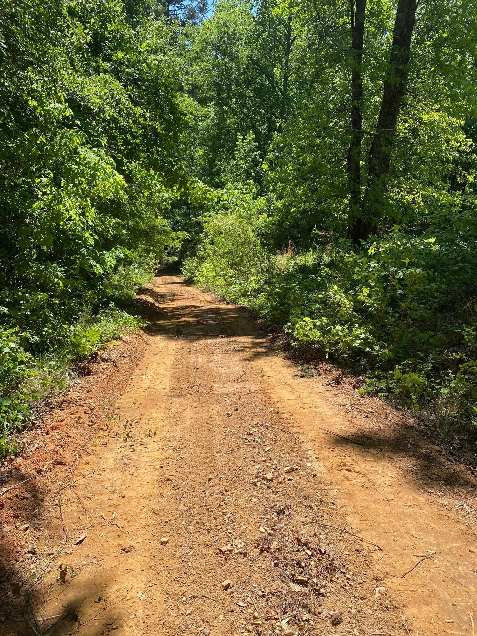
Off Chattanooga Valley Road and Dry Valley Road the approaches get long, and up toward Eagle Cliff Drive, Crestridge Drive, and Mountain View Circle they get steep. A drive on this ground is a drainage structure that happens to carry a truck. Water that gets into a wheel track on a grade like this does not leave it on its own, and by the bottom it has cut a ditch where the drive used to be. What holds is a shape that throws water off the side and enough relief points that nothing builds up head. Done that way, a gravel drive mostly maintains itself. Built as rock poured on a hillside, it becomes an annual bill.
A good deal of the acreage in this valley is not headed for a subdivision at all. It is family ground, hunting ground, or a place somebody wants to walk. Opening trails, cutting a food plot, taking a view back out of thirty years of growth, and keeping the ridge side from swallowing the pasture is recreational land work, and on slopes like these it usually calls for forestry mulching rather than a blade, because what a mulcher leaves on the ground is exactly what keeps that hillside where it is. Full land clearing earns its place down on the valley floor, where the ground is gentle enough to hold what you build on it.
Water coming off the mountain onto your place, a drive that will not hold, or acreage you want opened back up? John answers his own phone at (706) 936-4615. The quote form works just as well. Either way he comes and sees the ground.