Fairview is not a city. It is a settled stretch of Walker County that the Census draws a line around and counts, about seven and a half square miles holding roughly 6,409 people in 2,836 houses. There is no town center to point at. What there is instead is a run of neighborhoods and old road names strung between the highways: Lytle, Orchard Hills, Warren Terrace, Cannon Crossing, Dewberry Town, Shadynook. US 27 runs better than four miles through it, Frank M Gleason Parkway another three, and Battlefield Parkway clips the north end. Off those, the ground belongs to Lytle Road, North Long Hollow Road, Mission Ridge Road, Johnson Road, Jenkins Road, Hurtt Road, Garden Farm Road, and Vittetoe Road. Legacy Land Care covers Fairview from a shop down in Rome. Veteran owned, fully insured, and small on purpose: John Mulkey runs his own iron.
No City Here Means the Water Is Yours
This is the part people moving in from a town do not expect. Fairview has no city hall and no city crew. There is no street department that comes out to clean and reshape the ditch in front of your house, and no city storm drain system waiting under the road to take what your lot sheds. The ditch beside the road, the pipe under your drive, and the swale along the property line are yours to keep working.
That is not a complaint about the place. It is just the arrangement, and it changes what a property owner should be watching. A ditch that has silted in over ten years still looks like a ditch right up until the first real rain proves it is not one. A driveway pipe half full of leaf pack still passes a garden hose and will not pass a storm. On this ground the honest work is often small and unglamorous: reopen the ditch to its grade, clean or reset the pipe, and give the low corner an actual outlet instead of a place to sit. That is the core of drainage and water control here, and it is worth doing before it turns into a washed out drive.
One Named Creek and Twenty Miles of Channel Nobody Named
Here is the number that describes Fairview better than any other. Inside these seven and a half square miles the national hydrography map shows exactly one named stream, Dry Creek, running a little under two miles. Everything else, and there is close to twenty miles of it, is channel with no name at all.
That is the signature of a place where the water moves in small, short, steep pieces: draws between ridges, wet weather branches, and ditch lines that only carry during a storm. The community also straddles three subwatersheds, Spring Creek, West Chickamauga Creek, and Chattanooga Creek, which means a divide runs through the middle of it and two neighbors on opposite sides of a hill are sending water to entirely different places.
For a contractor that has one practical consequence. There is rarely a big obvious creek nearby to aim at. The outlet has to be found, not assumed, and sometimes it is a roadside ditch two hundred feet away that nobody has thought about in years. Finding it is the first hour of the job, not an afterthought.
Almost All of Fairview Is on a Grade
The soil survey maps Minvale and Shack together across more than half of this community, on slopes of 6 to 10, 10 to 15, and 15 to 25 percent. Add Fullerton gravelly silt loam on grades running up to 50 percent, and Bodine gravelly silt loam steeper still at 25 to 60, and the picture is clear enough: this is hillside country with houses on it. The elevations back it up. The middle of Fairview sits near 892 feet, well above the towns below it, and runs from about 697 up to better than a thousand, with McFarland Gap and Long Hollow inside the boundary.
Minvale and Fullerton and Bodine are all chert soils, weathered off limestone, and chert changes how work goes. It packs a bucket heavy, it dulls edges, and it makes a slope that looked tame from the road run slower than expected. Shack is the other half of the common unit and it does not drain as freely, so a single hillside can be shedding in one strip and holding in the next.
On grades like that, stripping cover is the thing to be careful about. Ground that steep is standing still because a web of roots under a layer of duff is pinning it down, and pulling that off in one pass hands the hillside to the next storm. Cutting growth where it stands, which is what forestry mulching does, keeps the pinning and adds a layer of chips on top of it while the view opens up. Where a slope has simply gone to brush and needs to be kept back rather than reworked, bush hogging is the cheaper honest answer. Full land clearing that pulls stumps belongs on the gentler benches, once somebody has settled where the water goes when the cover is gone.
The One Flat Piece Is the Piece That Floods
About a tenth of Fairview is not on a grade at all. The survey maps Wax loam there, on slopes under 2 percent, and calls it frequently flooded. Wax carries a group D rating, which is the bottom of the scale for soaking anything up. So the flattest ground in the community is also the ground that gets covered, and it is where everything coming off those hillsides ends up.
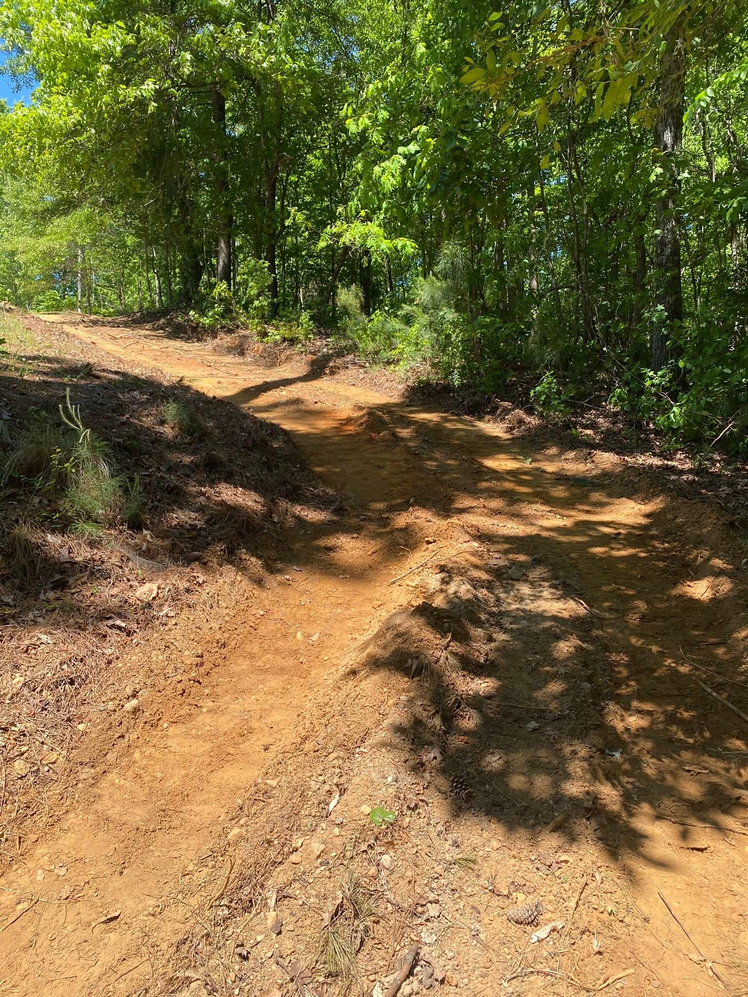
Anybody looking at the flat part of a Fairview tract because it is easy to build on should walk it in February before deciding. A pad there wants to sit high and it wants water routed around it rather than through it. Long drives coming down off the hill to reach it need gravel drive and access work built for fall: the surface shaped to throw water off the side, the uphill shoulder kept open, and the run interrupted often enough that nothing gathers speed. And where a yard has quietly dished out around a house over the years, yard leveling to restore a little fall is usually cheaper than anything that happens after water finds the crawl space.
Ditch grown shut, drive washing, or a hillside you want opened up without losing the hill? Get John on the phone at (706) 936-4615, or fill out the quote form. He walks the ground first, every time.