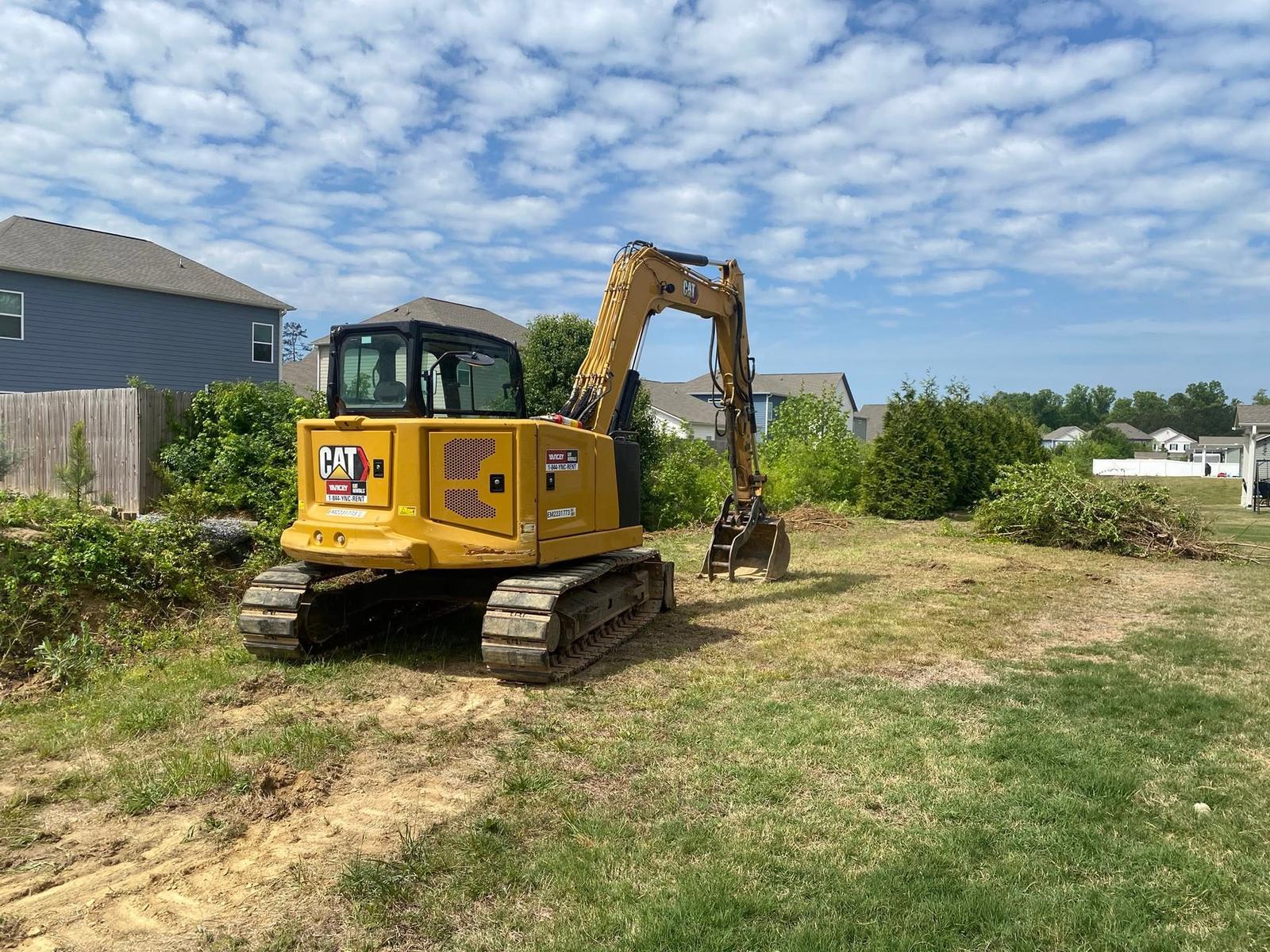
Chickamauga is small and it is laid out tight. Under three square miles of land, about 2,917 people, and roughly 1,255 houses, which packs more homes into a square mile than any other town in this corner of Walker County. The street plan says mill town out loud: numbered streets in the west end, Sixth and Seventh and Tenth and Twelfth, with Gordon Street, Lee Avenue, Crittenden Avenue, and Crescent Avenue running through the older blocks, and a platted alley or two still in service. US 27 clips the east side, State Route 341 runs in, Frank M Gleason Parkway carries the through traffic around, and Cove Road and Glass Mill Road head out toward the country. Legacy Land Care works Chickamauga out of Rome. Veteran owned. One man, John Mulkey, quotes the work and then does it.
The Rock Here Is Not Far Down
Start with what the survey says, because it explains most of what goes wrong on these lots. The single largest map unit in Chickamauga is a Colbert and Lyerly complex on 2 to 6 percent slopes, and the survey tacks the word rocky onto the name. Behind it comes a complex of Lyerly, Barfield, Braxton, and rock outcrop spanning 2 to 25 percent slopes, where the survey lists bare rock as a named part of the unit rather than an exception to it. Both Colbert and Lyerly are clays sitting on limestone, and the survey rates each of them group D.
Two things follow from that. The first is that a shallow job can hit stone. Setting a post, running a line, digging a footing, or cutting a shelf for a shed pad can all stop early against ledge, and no amount of wanting it to be dirt makes it dirt. When trenching is part of a project here, the trench route is worth thinking about before the machine shows up rather than after it hits refusal halfway across a yard. The second is that clay over rock has nowhere to send water downward. It goes sideways, across the top, at whatever speed the grade allows.
A Town Built Around Its Springs
Crawfish Spring and the Blue Hole are inside these city limits, and so is Crawfish Spring Lake. Springs are what happens when limestone underground fills up and pushes water back to the surface, and a town that grew where the springs are is a town where the water table is not a theory. Coke Oven Branch runs better than a mile through the city, and West Chickamauga Creek touches the north edge.
The soil map carries the same message down at ground level. Along the low ground the survey maps Steadman silt loam as frequently flooded and Wax loam on the near level ground as frequently flooded too, Wax again in group D. Those are not marginal notes. They are the survey stating that this ground gets covered often enough to be part of its normal behavior. So a wet back corner in the low part of town is usually nothing that a plumber can fix. It is the water table and the creek doing what they do in February, on a lot that also cannot drain downward.
Chasing that with fill is a losing trade. What works is picking the destination for that water first and then building it a clean path. That decision is the substance of drainage and water control in this town, and it comes before any dirt gets shaped. Wet ground will not take compaction. It moves under the machine instead.
Village Lots, Narrow Access, and Old Yards
The blocks off Gordon Street and Crittenden Avenue were platted for walking, not for equipment. Lot lines are close, fences are old, and the space between a house and the property line is often just wide enough for a machine and nothing to spare. That changes the job in real ways. It decides what size iron comes, whether tracks or wheels make more sense, and whether material gets ground on site or hauled out.
It also changes what the customer should ask for. A back yard here that has settled into a saucer over sixty years does not need a rebuild, it needs yard leveling that takes the dish out and sets a little fall toward an outlet that actually exists. A pad for a shop or a garage on a lot this size is a precise piece of grading and site prep, because there is no room to be approximate, and any dirt that comes out has to go somewhere off the property. That is where excavation and dirt work stops being about volume and starts being about logistics.
Out Cove Road, the Ground Gets Easier
Leave the grid on Cove Road, Glass Mill Road, or Lee and Gordon Mill Road and the map changes for the better. The survey picks up Fullerton gravelly silt loam on 2 to 6 and 6 to 10 percent slopes, and Minvale with Shack on similar grades. Fullerton and Minvale are both well drained, both in hydrologic group B, and both take water in far better than the clays back in town. There is chert in them, which is hard on a bucket, but chert soil that drains is a fair trade for clay that does not.
That is the edge of town where a homesite, a shop, or a pasture reclaim actually makes sense, and where land clearing can work the way it is supposed to: open the ground, pull the stumps, and shape it once. The city floor is about seven fifteen feet at its lowest and the town rarely climbs past eight thirty, so nothing here is mountain work. It is close, careful work on ground that changes character within half a mile.
Something in town that needs grading, draining, or clearing, or a place out Cove Road you want opened up? Call John at (706) 936-4615, or use the quote form. Nothing gets a number until he has stood on it.