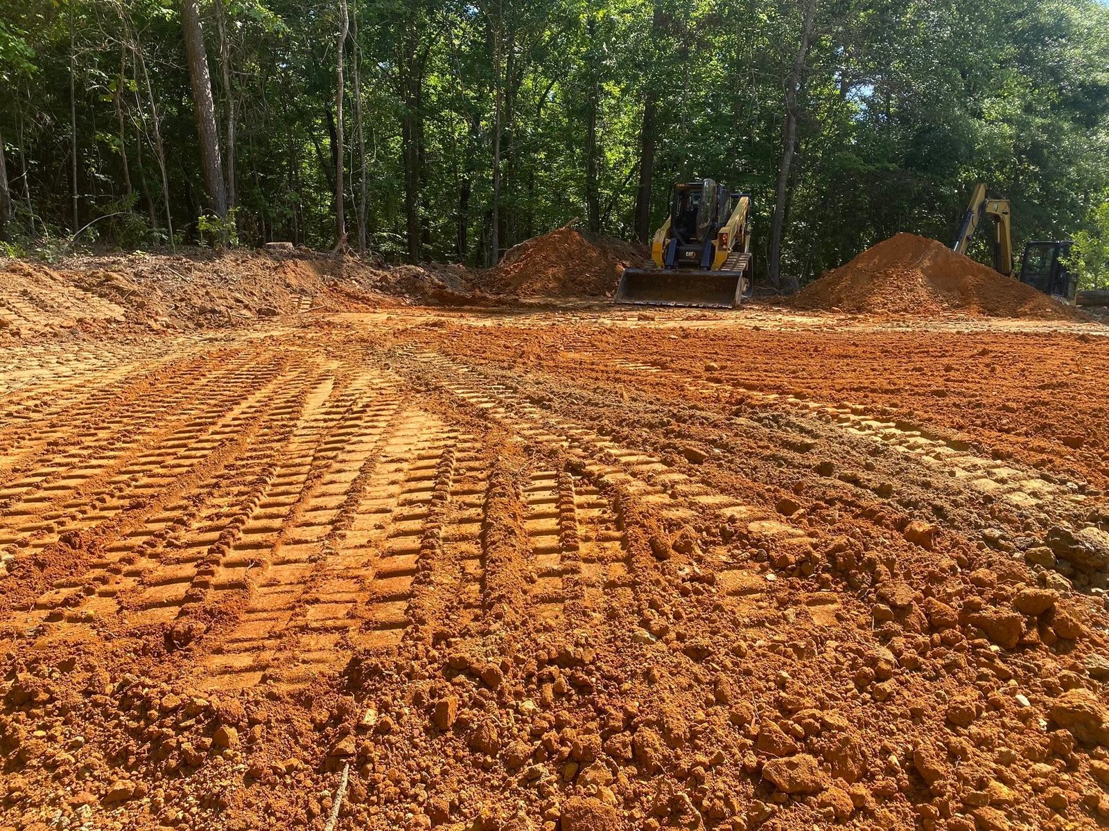
Gordon County is shale country before it is anything else. Montevallo and Townley are the two biggest soils in it, both weathered off shale, and between them they cover better than 56,000 acres. Shale sits shallow and it turns water. Forty one percent of the mapped acreage here falls in the highest runoff and lowest infiltration class the soil survey uses, and another eighteen percent is rated to act the same way once it is saturated. That one number explains most of what goes wrong on ground like this, whether the owner describes it as a soggy field, a rutted drive, or water standing against a slab.
Four Limit Signs and 334 Square Miles Around Them
The county holds 356 square miles of land. Calhoun, Resaca, Fairmount, and Plainville account for 22.65 of it between the four of them. The remaining 334 square miles, better than 93 percent of the county, lies beyond every city limit there is. Ranger makes the point plainly: it has a post office and a county fire station and no limit sign, because the Census carries it as a designated place rather than an incorporated one.
Out past those signs, municipal responsibility for your water stops and does not resume. Nothing catches runoff at the gate. What lands on the place crosses it and leaves it, and the route it picks gets decided by dirt work instead of by a storm system somebody else built. Access works the same way. One gravel road usually carries the delivery truck, the concrete truck, and the fire department, and keeping it passable is on the owner. Drain fields do not survive machine traffic or added fill on top of them. Well heads want dirt falling away in every direction. A subdivision lot answers all of that with engineering nobody ever sees. Sixty acres on a county road answers none of it.
Shale First, Chert Second, River Bottom Third
Montevallo heads the county list at roughly 29,100 acres, and it is thin: weathered shale at 25 centimeters, right around ten inches, with the series description setting the range at 10 to 20 inches. Townley is second at roughly 27,700 acres, deeper at 20 to 40 inches, listed as well drained and rated for slow permeability, which is a polite way of saying rain perches and then travels sideways. Add Corryton and Conasauga and shale soils reach about 71,000 acres, 38 percent of everything the survey maps as a major component. Conasauga is rated slow to very slow.
The limestone side of the county swaps shallow bedrock for hard rubble. Minvale, roughly 9,900 acres, carries 15 to 35 percent chert through the first 40 inches and up to half chert below that. Chert is what remains after limestone dissolves away, flint hard and angular, and a bucket loads up on it fast. Shack, roughly 11,400 acres, rests on a brittle pan about 30 inches down that water crosses slowly, so a hole that looks dry at the top can hold a perched table two and a half feet under the sod.
Then the bottoms, and this county has plenty. Shellbluff runs roughly 16,000 acres of flood plain on almost no fall, carrying a water table three to five feet down from December through April. Chenneby, roughly 6,800 acres, is somewhat poorly drained with water a foot to two and a half feet from the surface during a wet stretch. Ketona is the one that catches people out: roughly 7,600 acres of poorly drained clay in the limestone bottoms, filed by the survey under names like ponded and frequently flooded, with the water table at or near the surface right through winter and spring.
The southeast corner toward Fairmount and Ranger changes rock again. Federal ecoregion mapping assigns Carter Mountain, Ramsaeur Mountain, and Wolf Hollow to the Blue Ridge rather than the Ridge and Valley, and the soils back that up. Cataska covers roughly 7,100 acres there, weathered rock at ten to twenty inches, mapped on hillsides pitched anywhere from 15 to 70 percent. Junaluska lies beside it on phyllite. Different stone, same caution: nobody should plan a deep cut in that corner off a drawing.
The Oostanaula River Starts in This County
Northeast of Calhoun the Conasauga and the Coosawattee run together, and the river that leaves is the Oostanaula. The federal name file makes that literal rather than poetic. Both rivers are recorded at the exact same mouth coordinate, and that identical point is recorded as the source of the Oostanaula. Flowline data inside a quarter mile of the spot carries all three names at once, with Town Creek coming in on top of them.
That spot reads 615 feet on the USGS elevation service. Calhoun reads 656, Resaca 642, Sugar Valley 648, Ranger 747. Horn Mountain out on the west line stands at 1,827 and Calhoun Gap at 1,406. Everything between those numbers is headed downhill toward 615.
The whole Oostanaula measures about 49 miles and touches exactly two counties: this one, where it begins, and Floyd, where it ends at Rome and the Etowah joins it to make the Coosa. Our yard is in that second county, so the river runs the length of the trip.
Which way your rain leaves depends on where you stand, because the county splits three ways. East at Ranger, Sonoraville, Fairmount, and Oakman, water goes to the Coosawattee. West at Sugar Valley, Plainville, and Calhoun, it goes to the Oostanaula. The confluence ground itself counts in the Conasauga basin. Oothkalooga Creek and Snake Creek reach the Oostanaula. Crane Eater Creek and Salacoa Creek reach the Coosawattee, and Pine Log Creek reaches Salacoa first.
The Resaca gauge normals total 52.43 inches annually, and the weight of that lands in the cold half of the calendar. February 5.32 inches, January 5.20, March 5.10, December 5.04. October is the driest month on record at 3.60. The heaviest water therefore arrives while the ground is at its weakest, which puts the dependable stretch for earthwork from late September into October.
What Shale and Bottom Ground Do to a Job
Take the cover off and the water changes first, everything else second. Timber and leaf litter buy time in a hard rain. Bare shale buys none. Forestry mulching earns its keep on the slopes for exactly that reason: the material gets ground down in place, and what stays behind is chips plus an intact root system still gripping the ten inches of soil a shale slope has to lose. On flatter valley ground, where the plan is pasture again or a house site, a mulcher alone will not finish the job, and land clearing pulls stumps and root systems so nothing underneath is left hollow and waiting to settle.
Pads on shale need elevation and they need pitch, and neither is a preference. Water that refuses to soak in has to be routed deliberately, so the building goes up high, the finished surface falls away from every wall, and whatever comes down the hill gets intercepted upslope of the structure. That is the work grading and site prep does out here. Ten inches to weathered rock carries a second consequence: an ordinary looking cut can become a rock job the moment the bucket reaches the shoulder of a hill. Learning that during a site visit costs nothing. Learning it on mobilization day costs money.
Down in the bottoms the entire project is water. Ponded and frequently flooded are the survey's own terms for a good share of the Ketona ground, and no volume of hauled fill repairs a low place with nowhere to send what collects there. Drainage and water control carries everything else down there. Find the fall and cut an outlet where one is possible, intercept upslope where it is not, and put the pad and the drive on the driest dirt available before a blade ever touches the site.
A gravel drive on shale grade behaves like a ditch whether or not anyone intended one, and 52 inches of annual rain will demonstrate it within twelve months. None of the remedies are complicated. Build the surface with a crown so both shoulders shed. Dig the high side, and give that ditch a real place to empty. Culvert every wet weather crossing rather than dipping the road through it. Break the flow with turnouts often enough that no single run gathers force. Stone only stays put on a road the water has already left.
If your place is outside Calhoun, Resaca, Fairmount, or Plainville and you want a straight read on what your ground will do, call or text John at (706) 936-4615 or send the details through the quote form. Nothing here gets priced before it gets walked.