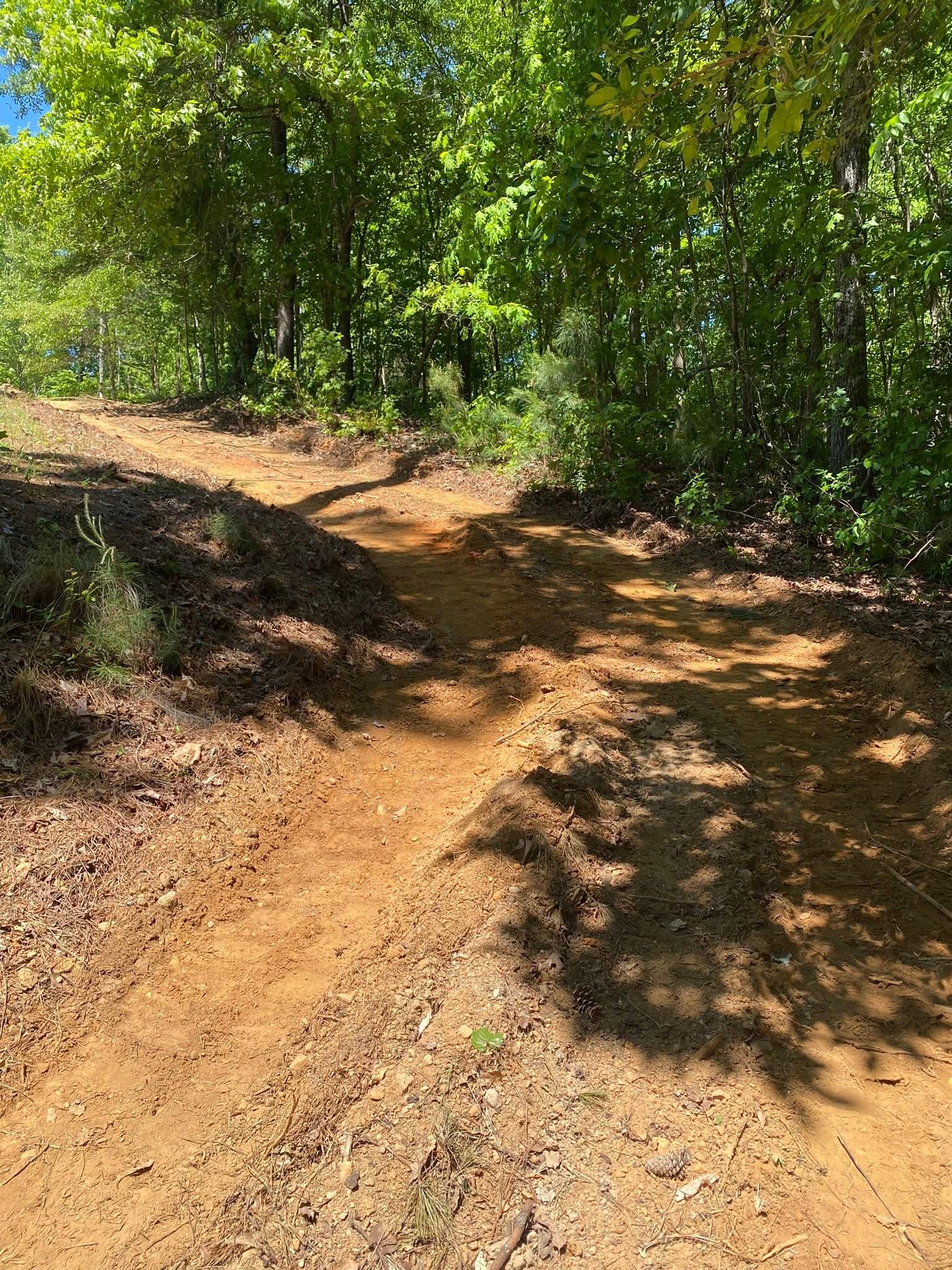
Cherokee County changes character from one end to the other, and the dirt changes with it. Woodstock and Holly Springs sit at the south end, inside the Atlanta urban area, on lots that already have neighbors. Ball Ground, Hickory Flat, and Free Home sit at the north end, outside any urban area at all, on ground that still comes by the acre. Underneath, the soil survey draws that same line: deep clay across the bottom of the county, a thin skin of soil over rock across the top. One county, two different jobs.
Seven Limit Signs, Four Hundred Square Miles
Ball Ground, Canton, Holly Springs, Mountain Park, Nelson, Waleska, and Woodstock are the seven places here that carry a city limit. The county holds 421 square miles of land, and everything outside those seven lines is the subject here. Gravel running a quarter mile back from the pavement, kept up by whoever owns it. A well head and a drain field. Eight acres nobody has bush hogged since the last owner moved off. A pole barn going up on ground where storm water has no municipal pipe to vanish into.
That reorders the job. Nobody downstream is obligated to accept your runoff, so the water plan has to finish on your own ground or at a creek you can actually reach. The access road is a structure rather than a detail, and when it fails, a loaded trailer stops at the gate. A drain field will not survive being driven over or capped under fill. A well head needs ground shedding away from it. In town, none of those four are your call. Out here all four are.
Deep Clay at the Woodstock End, Rock at the Ball Ground End
South of about Holly Springs the ground is Hayesville, Gwinnett, and Madison: deep clay weathered off gneiss, amphibolite, and mica schist. Gwinnett alone runs almost nineteen percent of the southern third, and hydrologic group B covers sixty percent of it. Group B means water enters at a moderate rate rather than sheeting straight off, which is the good news and the bad news in one line. It holds a bucket, it compacts into a solid pad, and it will keep a low back corner wet for a week after the storm has moved on.
Head north and the leader changes completely. Tallapoosa takes over at nearly forty-one percent of the northern third, mapped on slopes from six to sixty percent, carrying only 38 centimeters of profile before it reaches weathered rock. Call that fifteen inches. Dekalb stops at the same depth, and Talladega comes in on quartzite and metasedimentary rock. Between them, group C and group D soils cover roughly two thirds of the north end, which is the survey saying plainly that rain up there travels across the ground instead of into it.
Countywide, Tallapoosa is the single most extensive soil at about 86,200 acres, close to a third of everything. Hayesville is second at 57,600. Piedmont red clay is real here, but the soils doing that work are Madison and Gwinnett, not Cecil, which accounts for 23 acres in the entire county. Down on the bottom ground next to the water, Toccoa, Chewacla, and Cartecay are alluvium mapped at zero to two percent slope, and two of the three are rated somewhat poorly drained, which is exactly how they look in February.
Everything Here Drains to the Etowah
One river takes nearly all of it. The Etowah crosses the middle of the county past Ball Ground and Canton on its way toward Allatoona, and the watershed map is close to solid: Etowah basin everywhere except a northwest corner around Pine Log Mountain and Garland Mountain that leans into the Coosawattee. Hickory Log Creek, Canton Creek, Shoal Creek, Sharp Mountain Creek, and Long Swamp Creek all end at the Etowah.
The southern half runs on a second system. The Little River gathers Toonigh Creek, Noonday Creek, and Blankets Creek and carries them west into Allatoona Lake. That river is worth naming carefully, because there is also a Little River in Cherokee County, Alabama, and it is a different stream in a different state. This one starts near the Forsyth County line at about 1,125 feet and reaches the lake at 838. That is 287 feet of fall on a single creek, all of it inside this county.
The mouths of Toonigh, Noonday, and Blankets all read 839 feet, the same as the lake surface, because the reservoir backs up into them. That is why bottom ground down there stays soft long after the high ground has dried out. Rain gives you nowhere to hide either. Canton normals run 55.58 inches, highest in March and December at 5.42 and lowest in October at 3.49. Ball Ground, about nine miles north, comes in at 53.90 with its peak in July. Under two inches separates the wettest month from the driest at both gauges, so on this ground the calendar buys you less than it does in most places, and drainage buys you more.
How the Split Changes the Job
At the south end the problem is usually water and grade. Clay that drinks slowly, a lot shaped once by whoever built the house and never touched since, and a corner that holds water into spring. The answer is mechanical, not mysterious. Reshape the fall so water leaves the structure, cut a swale or run pipe where the fall cannot be reshaped, and give the wet corner a real outlet. That is the whole point of drainage and water control, and where the ground is close but simply sitting wrong, yard leveling is the cheaper half of the same job. Burying a wet spot under a load of dirt without giving the water an exit only relocates it.
At the north end the problem is usually cover and access. Fifteen inches of soil over rock on a thirty percent slope behaves nothing like the clay down south. Strip the growth off it and the next storm shows you exactly where water was already headed, so land clearing up there is a water decision before it is a clearing decision, and what stays behind holding the hillside counts as much as what comes off. A drive coming down that grade is a channel unless somebody deliberately makes it something else. Give it a crown so the surface throws water to both shoulders, cut a ditch on the high side, break the run with turnouts spaced close enough that no single length of road gathers the volume it takes to start cutting, and put a pipe under it where a seasonal branch crosses. Driveways and access work on shallow ground also means planning around rock, because at fifteen inches a trench that penciled out easy can turn into a hammer job halfway across the yard.
The middle of the county gets both calls, sometimes on one property. Canton sits right on the seam: across the middle third, Tallapoosa runs about thirty-six percent and Hayesville about thirty, so the shallow soil and the deep clay share the same band of ground. That is why walking a parcel here tells you more than a satellite photo ever will.
If your place is outside the city limits anywhere between Woodstock and Ball Ground, or out at Hickory Flat, Free Home, Macedonia, Mica, Lebanon, Sutallee, or Avery, and you want a straight read on what your ground is going to do, call or text John at (706) 936-4615 or send the details through the quote form. He looks at the property before he puts a number on it.