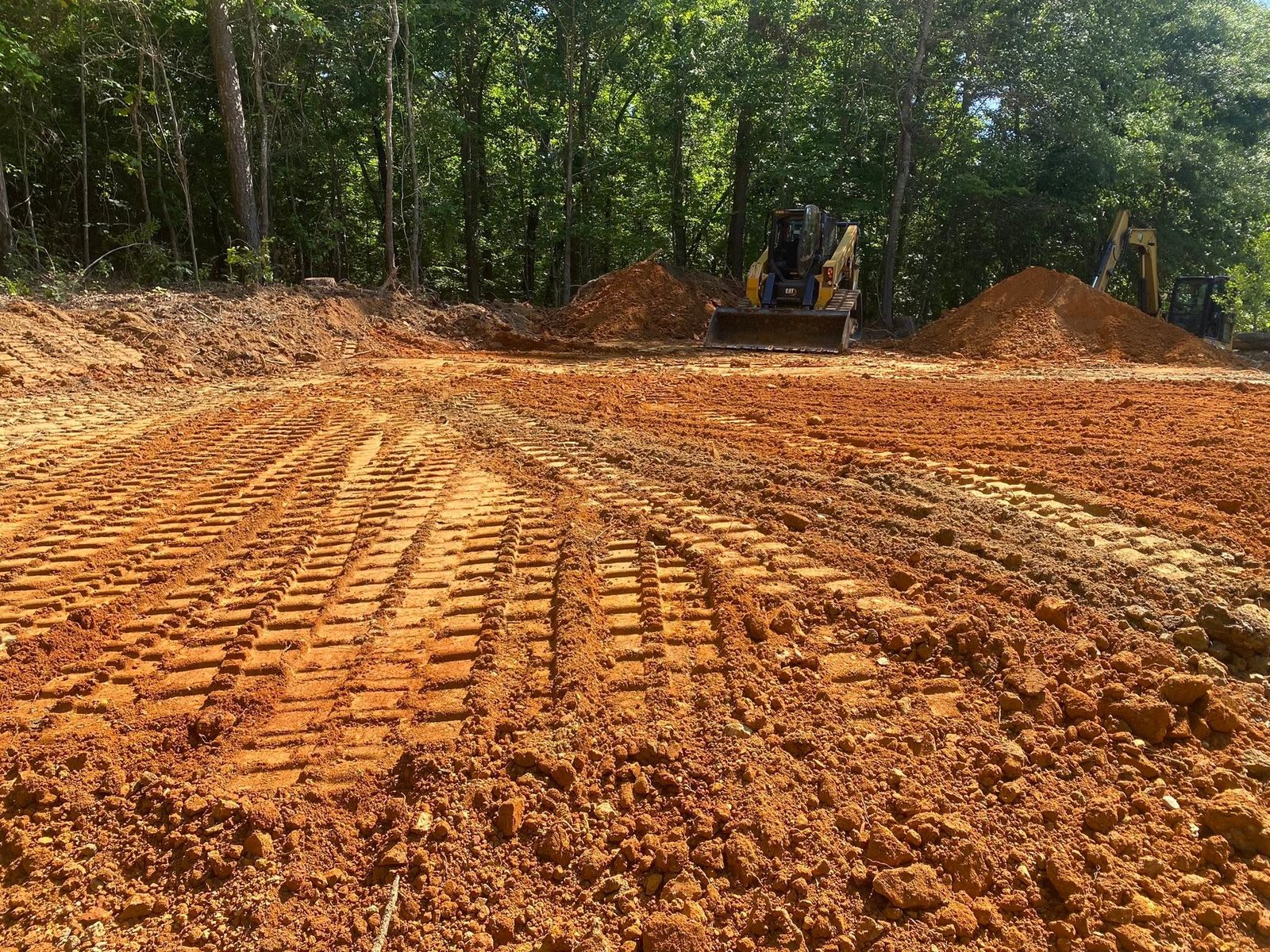
Ball Ground still has room around it. The 2020 count found 2,560 people and 977 housing units spread across about 6.3 square miles of city limits, which works out to a little over four acres of town for every housing unit on the map. The Census puts no urban area here at all. Old Canton Road, Cherry Grove Road, Marion Spence Road and Howell Bridge Road carry the kind of frontage where a parcel is still measured in acres instead of feet. Legacy Land Care works Ball Ground out of Rome, roughly 57 miles by road. Veteran owned, one crew, and the same person who quotes the work is the one operating the equipment.
One Soil Runs This Town
Sample the survey across the city limits and Tallapoosa comes back on close to two thirds of the points, in four separate map units. Fine sandy loam on 15 to 25 percent slopes. Gravelly sandy clay loam on 10 to 25 percent, eroded. Cobbly sandy loam on 25 to 60 percent. Channery sandy loam on 25 to 60 percent. Madison and Hayesville pick up most of the rest, and Chewacla and Cartecay fill the creek bottoms.
Read the adjectives before the slopes. Gravelly, cobbly and channery are the survey telling you how much rock is in the profile and what shape it comes in. Channery means flat plates that stack and bind. Cobbly means pieces big enough to stop a bucket. Both are normal here, neither is a defect, and both change how long a cut takes and what it costs in cutting edges.
Fifteen Inches Is the Whole Budget
Tallapoosa meets weathered bedrock at about 38 centimeters. That is roughly fifteen inches of soil, and it is the single most useful number anybody can know before spending money on this ground. It sets a ceiling on how much can be cut and a floor under how much has to be built.
A building pad on a Tallapoosa slope is usually not a cut into the hill, because there is not fifteen inches of hill to spend. It is a bench built partly of cut and partly of fill, keyed into the slope so the fill side does not settle away from the cut side later. Grading and site prep on shallow ground is mostly about that balance. Excavation and dirt work is where the rock actually shows up, and it is why a plan that reads simple on a topo can go slow in the ground.
Two Creeks and Five Subwatersheds in Six Square Miles
Long Swamp Creek carries about five kilometers of channel inside the city limits and Sharp Mountain Creek about two more, with something near forty kilometers of unnamed channel besides. That is a lot of running water for a town this size, and it splits five ways. The city limits touch five separate subwatersheds: Fourmile Creek and Long Swamp Creek, Middle Sharp Mountain Creek, Lower Sharp Mountain Creek, Smithwick Creek and the Etowah River, and Board Tree Creek and the Etowah River.
What that means in practice is that two parcels on opposite sides of town do not answer to the same outlet. Where the creeks flatten out, Chewacla and Cartecay lie on zero to two percent slope and stay damp long after the uplands have dried. On the slopes above them Tallapoosa sheds hard, in hydrologic group D. Water leaves the high ground fast and then has nowhere to hurry to once it hits the bottom. Sorting out where a property sits in that sequence is what drainage and water control is for, and it belongs at the front of a job rather than the end of it.
Clearing Ground That Is Holding Itself Together
Elevations inside the limits run about 926 to 1,271 feet, and a fair share of the mapped ground is on 25 to 60 percent slopes. Shallow soil on that kind of pitch holds still only because roots and leaf litter are gripping it. Strip both off at once and the hill starts moving with the first hard rain, and there is not enough depth for it to lose much before it is down to rock.
That is the argument for forestry mulching on the steeper parcels. Grinding growth where it stands leaves the chips and the roots doing their job while the view opens up. On the flatter benches and old field edges, land clearing that takes stumps and root balls makes sense, as long as somebody has already settled where the water goes once the cover is off. Pasture that has closed in comes back with bush hogging, and a boundary that has disappeared into privet and pine comes back with fence line clearing.
Getting a Truck to the Back of the Place
A long approach on this ground is really a water-handling structure that a truck happens to drive on. Crown it so water leaves sideways, ditch the uphill shoulder, and break the run with turnouts so no single stretch collects enough to start cutting. Skip that and the first heavy rain sorts the stone by size and stacks it at the bottom of the hill. Gravel driveway and access work built for a shallow, rocky slope is a different animal than a subdivision apron, and on a parcel where the house site is a quarter mile off the road it is usually the first thing that has to happen. Where the goal is a place to hunt, ride or camp rather than build, recreational land work covers trails, openings and access without turning the whole tract over.
Have acreage around Ball Ground that needs opening up, a homesite to bench in, or a drive that will not hold gravel? Call or text John at (706) 936-4615, or send the details through the quote form. He puts boots on the property first.