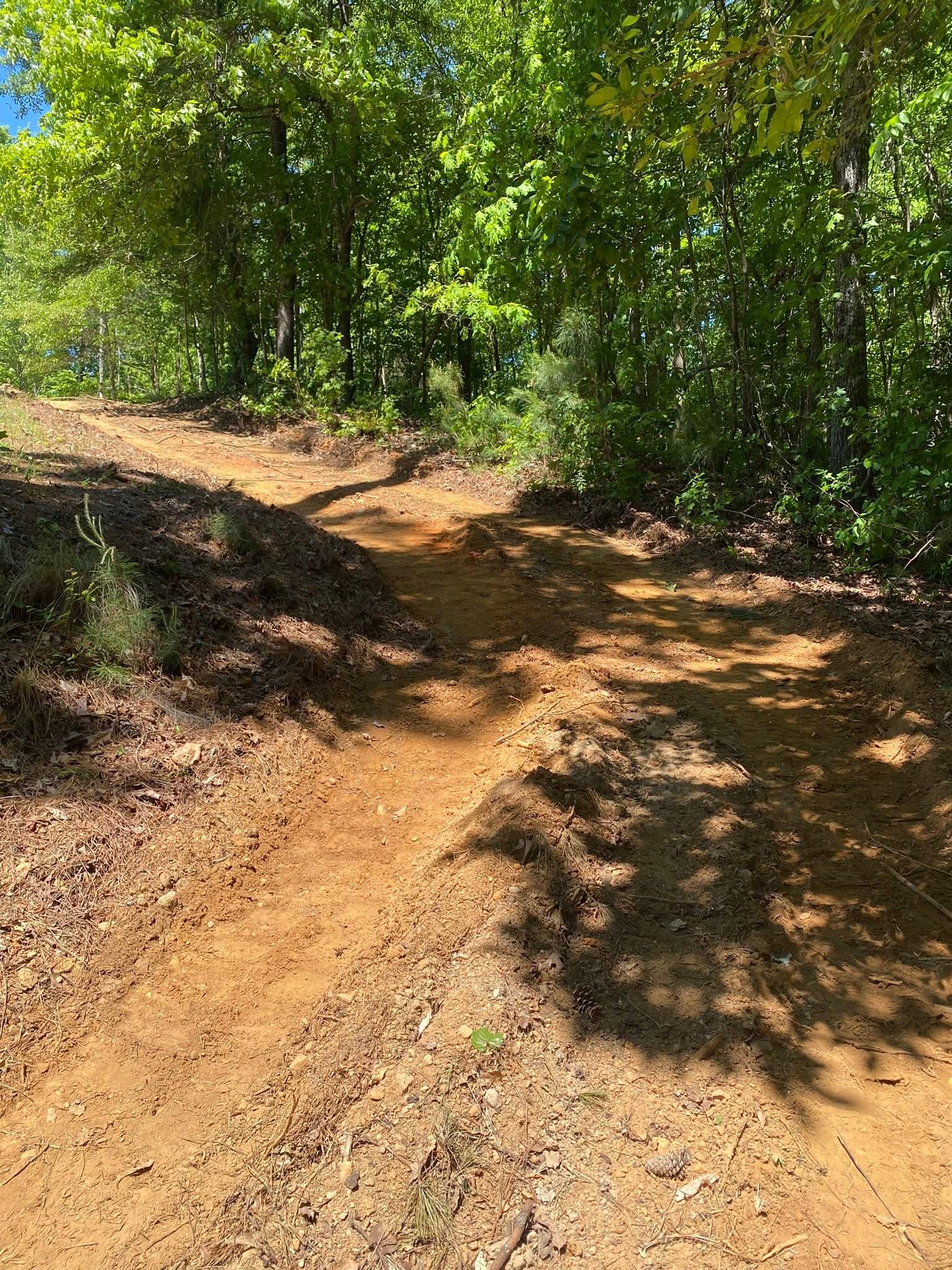
Bartow County is built on two different kinds of rock, and the line between them runs through the middle of it. West and north, the ground is limestone, chert, and shale. East and southeast, it is quartzite, phyllite, and gneiss, and the mountains that rock makes are steep and full of stone. Hanging Mountain, up in the northeast corner, reads 1,909 feet. Kingston, out in the valley, reads 692. About 48 inches of rain a year falls on all of it. Clearing, a drive, a pad, a ditch: which of those two grounds you own decides how any one of them gets done.
Seven Towns, and Then Four Hundred Square Miles
Seven cities and towns hold ground inside Bartow County: Cartersville, Adairsville, Emerson, Euharlee, Kingston, White, and Taylorsville. Together they cover about an eighth of it. The other seven eighths, roughly 400 square miles, carries no limit sign at all, and that is the part this page speaks to. A quarter mile of gravel running back off a county road. A drain field and a well. Forty acres that has been closing in a little every year since the last time anybody ran a bush hog through it. A shop pad going up somewhere with no curb, no storm inlet, and no public pipe standing by to take whatever comes off it.
That changes the order the work has to happen in. Every drop that falls on your place stays your responsibility until it crosses into a creek. The approach road is yours to build and yours to maintain, and on most of these tracts it is the single route a concrete truck or a loaded trailer has in. Drain field, well head, buried water line: all three are things the machine has to be told about beforehand, not discovered. A town lot hides every bit of that. Acreage lays all of it out where you can see it the first morning.
Chert on One Side of the County, Quartzite on the Other
Group the soils in the Bartow County survey by the rock they came off and the split is plain. Roughly 99,900 acres formed in limestone or cherty limestone. Roughly 51,800 acres formed in crystalline rock: granite, gneiss, phyllite, quartzite. The rest is shale and sandstone.
The limestone side is the valley, and its two largest soils are Fullerton and Minvale, about 23,800 and 23,300 acres. Both are cherty. Chert is what is left when limestone dissolves away, it is flint hard, and it does not break down and it does not go anywhere. It comes up by the bucketful. Decatur, another 13,900 acres, is the dark red clay limestone leaves behind when it weathers clean. Then the shale soils: Montevallo covers about 16,000 acres and meets rock about twelve inches down, Townley meets it near two feet, and Cunningham rates well drained while still shedding water fast, because runoff on it is rapid and permeability is slow. That last combination catches people out more than any other soil in the county.
The crystalline side is the mountain ground on the east and southeast. Pine Mountain at 1,553 feet and Hanging Mountain at 1,909 feet both map as a Ditney, Unicoi, and rock outcrop complex, and the survey calls it very stony. Ditney sits over quartzite about two feet down. Unicoi meets solid rock near seventeen inches. Red Top Mountain, at 1,067 feet, maps as Hayesville and Cowee, which is gneiss ground, and it is called stony as well. Mapped slopes on those units run to 70 percent. Working that is not the same job as working the valley, and no quote that treats them alike is worth much.
There is a third piece, down low. Along the Etowah and the creeks feeding it, Steadman and Bloomingdale sit on almost no slope at all, rated moderately well drained down to poorly drained. They stay wet because staying wet is what bottomland does.
Three Ways Water Leaves Bartow County
The Cartersville gauge averages 48.06 inches a year, and its biggest months are cold ones: 4.72 inches in March, 4.69 in February, 4.49 in December, 4.29 in January. October, at 3.25, is the driest month by a clear margin. The heaviest rain therefore lands on the softest ground, and the one stretch of calendar that reliably works for moving dirt is late September into November.
Where the water goes from there is a question of which slope you are standing on. About three quarters of the county drains to the Etowah River, and much of that goes through Lake Allatoona on the way. The lake sits near 840 feet, and Stamp Creek, Allatoona Creek, Illinois Creek, and Clear Creek all end in it rather than in a river. Below the dam the Etowah runs free again past Cartersville, Euharlee, and Kingston, reading 668 feet where Pettit Creek comes in and 630 feet where Two Run Creek does. Pumpkinvine Creek, Raccoon Creek, Euharlee Creek, Two Run Creek, and Connesena Creek all meet it along that stretch.
The rest goes north, and this is the part people miss. The northeast corner around Pine Log and Rydal, about a sixth of the county, drains to Pine Log Creek and on into the Coosawattee. The northwest above Adairsville drains to the Oostanaula. All three routes end in the same river at Rome, but they get there down different creeks, and the creek at the bottom of your place is the one that decides where your water has to go.
Between crest and creek, the dirt settles the rest of it. Montevallo, Townley, Tsali, Tallapoosa, Saluda, Unicoi, and Cataska all carry the highest runoff rating there is, so on the shale ridges and the stony mountains most of what falls travels across the top instead of soaking in. At the other end, Pailo out on the chert benches is somewhat excessively drained and takes water about as fast as anything here. Then there is the case in the middle that fools people. Wax, Shack, and Guthrie each carry a fragipan, a dense brittle layer at twenty to twenty-six inches that water crosses very slowly. Ground over a fragipan can read well drained at the surface and still hold a soft spot for weeks, because the water is perched on that layer with nowhere to go.
What This Ground Asks of a Job
The first thing clearing changes is not the view, it is the runoff. A stand of brush and the litter under it hold rain back and give it time to soak. Stripped dirt does neither. On a stony slope with rock a foot and a half down and grade running toward 70 percent, taking the cover off first is backwards, because that cover is most of what is keeping the hill where it is. Forestry mulching deals with that head on: the material gets cut down onto the ground it came off, and the roots underneath are never disturbed. Where the slope is gentle enough and the plan is pasture or a house site, land clearing with a blade and a bucket is the right call, because stumps and root balls have to come out from under anything you mean to build on.
The drive is where a Bartow budget usually goes sideways. A quarter mile of gravel running downgrade is a channel whether anyone designed it as one or not, and 48 inches a year will demonstrate that inside a season. The fixes are not complicated and they are the entire job. Shape a crown so rain rolls off both shoulders instead of collecting in the ruts. Cut a high-side ditch that actually empties somewhere. Put pipe under every wet-weather branch. Break the run with turnouts so no single length ever gathers enough water to start digging. On the chert side of the county a gravel drive carries a second question under the first, because chert packs into an excellent base and also makes every foot of trenching slower. On the mountain side the question is rock outright: with solid stone at seventeen inches over quartzite, a cut that looks ordinary on paper may want a hammer instead of a bucket by the time it reaches the high shoulder.
Out here, moving water is not the last item on the invoice. Over a fragipan, or down in the Etowah bottoms, drainage and water control is the thing holding everything above it upright: an outlet cut so perched water has a way to leave, a swale that catches slope runoff before it ever reaches a wall, pipe sized for what a hillside really sends down in a February rain. Pads work on the same logic. Sit the shop or the barn higher than the ground around it, pitch every side away from the walls, and stop the hillside water above it well short of the slab. Grading and site prep out here is mostly that: deciding where water is going before anything permanent gets poured on top of it.
If your place is out past those seven limit signs and you want an honest read on what the ground will do once it is opened up, call or text John at (706) 936-4615, or put the details in the quote form. Nothing here gets a number until he has walked it.