Euharlee sits on the east side of the Etowah River in Bartow County, and the creek the town is named for empties into that river inside the city limits. The 2020 count put 4,268 people here in 1,441 houses across about five and a half square miles. That is a lot of ground for that many roofs, and the property shows it: platted subdivision lots on one street and open acreage a quarter mile away. Legacy Land Care covers Euharlee from Rome, about 21 miles west. John Mulkey owns the company and runs the machine himself.
Two Kinds of Water Inside One City Limit
Roughly four miles of Euharlee Creek and roughly three miles of the Etowah River lie inside the limits, and they do not act alike. The river is the low point for everything around it and it rises slowly. The creek is smaller, steeper, and answers a hard rain in hours. The subwatershed carries the creek's name, Lower Euharlee Creek, and the USGS names Jones Branch in town as well.
Then there is about four and a half miles of channel inside the limits that only runs part of the year. That is the water that catches people out. A dry swale in August is a running ditch in February, and the line a machine would naturally take across a back lot is often the exact line the water already took. Where a property has a real problem, the answer is a route, not a load of dirt. A shallow swale if the lot has room for one. Pipe in the ground if it does not. And an outlet at the end of it that actually goes somewhere. That is the whole of drainage and water control on a lot like this.
Deep Soil on the Rises, Flood Soil Along the Water
The soil survey is unusually kind across most of Euharlee. Etowah loam, Decatur loam, Waynesboro clay loam, and Shady loam all show up on 2 to 6 percent slopes, all of them deep and well drained. That is good building ground. It takes water in, it holds a grade, and it does not fight a cut. Drop toward the creek and the map changes to Steadman silt loam on 0 to 2 percent slopes, occasionally flooded and only moderately well drained. Same town, different rules, sometimes on the same parcel.
One more thing on the map is worth knowing. On the steepest ground in the limits the survey shows a Minvale and Shack complex on 15 to 30 percent slopes, and the Shack part of it has a fragipan roughly twenty three inches under the surface. A fragipan is hard, brittle subsoil that water gets through only grudgingly. Rain soaks down about two feet, reaches it, and quits going down. On a slope the water then slides along the top of that layer until something lets it out. Cut into a hillside like that and you can open a wet face where none was showing. On ground that steep, forestry mulching usually beats blade work. A mulcher takes the top off and leaves everything below it alone, so the hill keeps the anchor it already had.
Top to bottom the town covers about 150 feet, from around 645 feet along the river to a little over 800 on the high side. That is not much fall spread over five and a half square miles. On most lots here, the fall you have is the fall you get, and finding it is half the work.
There Is No State Highway in Euharlee
That is literal. Not one state route runs inside the city limits. Georgia 113 passes outside as Cartersville Highway and Rockmart Highway, and everything in town is county road: Euharlee Road, Covered Bridge Road, Hardin Bridge Road, Milam Bridge Road, Cliff Nelson Road, Euharlee Five Forks Road. Off those come the subdivision streets, River Oaks Drive, Amberwood Trail, Stonebrook Drive, Lazy Water Drive, River Birch Drive.
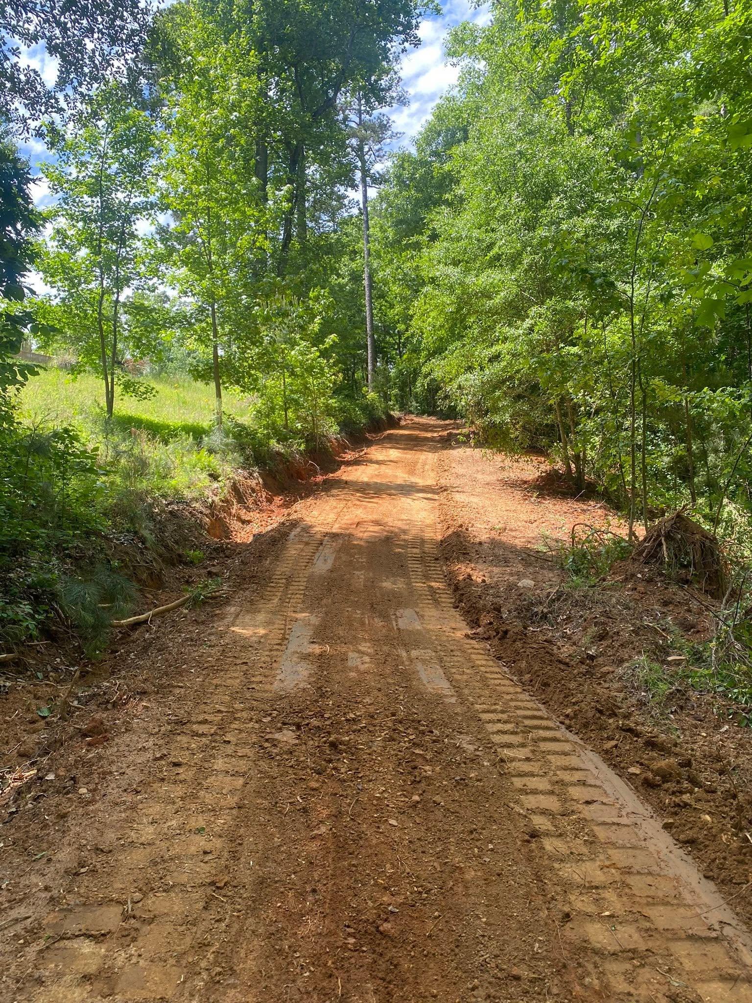
For equipment that changes the day. There is no wide shoulder to unload on and no four lane to turn a gooseneck around in. The trailer has to come in on two lanes, sit somewhere that does not block a neighbor, and put a machine on the ground without tearing up an edge. That gets settled at the walk through, not at seven in the morning on the day of the work. It is also why gravel driveway and access work here often begins at the road: widening the turn in, firming up the entrance, giving a truck room to swing.
What Euharlee Lots Actually Need
Wide lots with a wooded back half are common, and the back half is usually where the work is. Land clearing opens it up when the plan is a shop, a pasture, or a yard that ends somewhere other than a wall of privet. Bush hogging keeps it open once it is. Fence line clearing stands on its own out here, because a line nobody has cut in five years is past being a mowing problem.
On the building side, grading and site prep sets a pad up out of the water and shapes fall away from it on every side before anything gets poured, and excavation and dirt work takes care of the cuts, the fills, and the hauling that go with it. Acreage facing the river or the creek is a different ask again, more trails, shooting lanes, and a place to park a camper than pads and pipe, which is where recreational land work fits. On that low ground the season is part of the plan, because bottom soil that shrugs off a machine in September will rut under the same machine in February.
Back lot closed in, drive washing every spring, corner of the yard that never dries out? John picks up at (706) 936-4615, call or text either one, and the quote form reaches him just as fast. He walks the ground before he puts a number on it.