Two provinces meet inside Polk County and the seam between them runs east and west across the southern third. North of that seam is Ridge and Valley: a limestone and shale floor between roughly 740 and 840 feet, chert through much of the dirt, sandstone standing at Shorty Mountain near the Alabama line at 1,594 feet. South of it is Piedmont, the Talladega Upland, mica schist and gneiss underneath, summits from 1,205 feet at Dugdown Mountain to 1,408 at Treat. The seam passes about four miles under Cedartown and about two under Rockmart. Just under fifty-three inches of rain falls on both halves in an average year, and sixteen days of it arrive an inch or more at a time.
Three Towns, and Then 293 Square Miles
Cedartown, Rockmart, and Aragon are the incorporated places sitting whole inside the county line. Taylorsville reaches in from Bartow and Braswell from Paulding. Put every corporate limit together and it accounts for about 17 of the county's 310 square miles. The remaining 293, call it 94 percent, answer to no town. Those acres are the reason this page exists.
Nobody built you a system out there. No inlet waits at the foot of the drive, so whatever falls on your place is yours to steer until it finds a creek. The drive is yours as well, to cut and to keep, and it is usually the one route a loaded truck can take to the house. Septic fields do not survive tracked machines or a load of fill on top. Well heads want ground pitched away from them. In a subdivision somebody settled all of that before the deed was signed. On acreage every bit of it is still open.
The Largest Soil Unit Here Is a 25 to 60 Percent Slope
Ask the survey what it mapped most of in this county and the answer is Tallapoosa gravelly fine sandy loam, 25 to 60 percent slopes: 18,770 acres, more than any other single unit. Tallapoosa is thin ground. Topsoil and subsoil together measure 3 to 20 inches, soft rock turns up near fifteen inches, and the whole thing weathered out of mica schist and gneiss. The survey files it in the highest runoff class it has. Steep, shallow, and quick to shed, all in the same soil, and that is the south end of the county. Montevallo repeats the pattern over shale on another 13,700 acres, rock at the same fifteen inches, slopes reaching 45 percent.
The valley hands you a different bill. Fullerton runs better than 34,000 acres, more than anything else here, deep clayey ground weathered off cherty limestone, with chert coming out load by load. Shack covers roughly 24,000 acres of cherty silt loam over a hard brittle horizon, and water works through that horizon slowly. Wax has an honest fragipan around thirty inches. Decatur adds another 10,800 acres of deep clay over limestone. None of that ground is shallow. None of it drains the way deep soil is supposed to.
Down on the flats, Chewacla silt loam, 0 to 2 percent slopes, frequently flooded, takes 11,595 acres, second only to that Tallapoosa unit. The survey calls it somewhat poorly drained and it behaves accordingly. Countywide, 11,896 acres carry that rating and 2,160 more are called poorly drained outright.
Two soils in the national system were named for places in this county, described right here in 1975. Aragon is well drained with slow permeability and unweathered rock somewhere between five and ten feet; the described spot lies off Old Cedartown Road. Euharlee is well drained with moderately slow permeability, described on Kankakee Road west of Georgia Highway 101 at Aragon. Both read like soil that will take water. Neither one does. The survey also mapped 1,510 acres of Polk County as Mine pits, an actual unit and not a turn of phrase, and the creeks kept the same ledger: Hematite Branch, Lime Branch, Mineral Spring Branch.
Three Basins Meet Inside One County
Fifty-four percent of Polk County sends water northwest into the Upper Coosa. Forty-three percent sends it east to the Etowah. The last piece, not quite three percent, is a corner in the far south drained by Swinney Branch and Tab Creek, and it leaves Georgia altogether for the Tallapoosa. Which basin your gate opens onto decides which direction a ditch can honestly run.
Euharlee Creek carries the east side. About 22 miles of it lie inside the county, more than any other named stream, and it collects Fish Creek, Hills Creek, and Simpson Creek before crossing into Bartow County to meet the Etowah River. West of the divide the water goes north instead. Little Cedar Creek and Dry Creek both exit through the top of the county and meet just under four miles beyond it, and what they form there is Big Cedar Creek, which reaches the Coosa above Rome. So if you were told your place sits on Big Cedar, the mapped flowlines say the stream carrying that name starts after it leaves Polk County.
Between the summits and the creeks, soil settles the rest. Roughly 49,000 acres of this county rate hydrologic group D, the class that absorbs least and runs off most, with about 14,000 more acres dropping to D once saturated. Group A accounts for around 7,000. Tallapoosa, Montevallo, Townley, and Cunningham all sit in D. Bodine and Toccoa hold the A ground. Across most of Polk County, then, most of a hard rain never gets in. It travels.
The calendar pulls the same direction. March tops the Cedartown record at 5.27 inches, with February, December, July, and January all close to five. August bottoms out at 3.55, October at 3.64, September at 3.73. Fall totals 11.77 inches against 14.95 for winter. Late summer through fall is the workable stretch, and it is not long.
Reading the Ground Before Anybody Bids It
Take the cover off and the water changes before anything else does. Timber and litter hold rain back; open dirt turns it loose, and on a Tallapoosa slope with soft rock fifteen inches under it there is nothing below to take up the difference. That is the argument for forestry mulching: material gets ground in place, so chips and root structure stay on the hill still doing their job. On the flatter valley soils, where a tract is headed for pasture or a house site, land clearing takes out stumps and root balls so nothing settles underneath later.
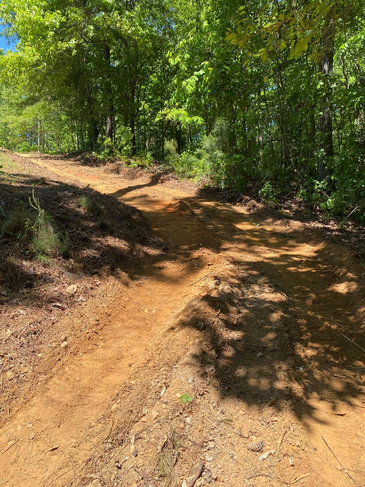
Roads are where the bill grows. Sixteen inch-plus rain days will locate every length of drive that runs downhill without relief. The corrections are not exotic: shape the crown so runoff exits the shoulders rather than following ruts, cut a high-side ditch with a real outlet, put pipe under any wet-weather crossing, and break the fall frequently so no single run picks up enough speed to start digging. Building a gravel drive south of the province line usually means shallow rock somewhere along it. Building one on the valley floor means base over clay that moves. Both are workable. Neither should be news on the day the trailer shows up.
Pads answer to the same physics. Sit the structure high, pitch ground away on every side, and intercept upslope water before it arrives, which is the work grading and site prep does out here. On Fullerton and Shack that means thin lifts and real compaction, because one loose push over chert will not hold. Where ground refuses to dry, and over a fragipan or along a Chewacla bottom it will refuse, drainage and water control belongs first in the sequence rather than last. Everything stacked above it depends on it.
If your place sits outside Cedartown, Rockmart, and Aragon and you want a straight answer about what your dirt is going to do, call or text John at (706) 936-4615, or send the details through the quote form. Nothing here gets priced off a satellite photo.