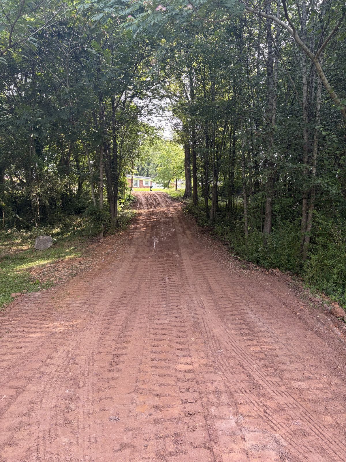
Floyd County is the home ground. The shop is here, the equipment is parked here, and a normal morning starts on a county road. The whole county is organized around one point: in the middle of Rome, at 574 feet, the Oostanaula and the Etowah both come to an end, and the Coosa River starts. Lavender Mountain reads 1,682 feet a little under eight miles from that spot. In between lies 509.8 square miles of ridge, valley, and river bottom. Figure out which of those three a property sits on and you have most of the answer about what the job will take.
Two Limit Signs and 474 Square Miles
Rome and Cave Spring are the only places in this county with a limit sign. Put the two together and they cover roughly 35 square miles. The other 474 are county, and that is the ground this page speaks to. Lindale and Shannon look like towns and have the post offices to prove it, but the Census carries them as designated places rather than incorporated ones, so a tract in either sits on the same footing as a tract out at Coosa or Melson.
Past a limit sign, water and utilities become the landowner's business. Nothing intercepts runoff at the property line. Nothing hauls it off at the end of the drive. Grade has to fall away from a well head instead of into it. A septic field has to stay unburied and undriven. The drive itself has to hold a loaded truck in February, since it is the only route anything heavy has to the house. Those constraints do not exist on a subdivision lot, which is exactly why a city page cannot answer for them.
Chert Up High, Shale in the Middle, River Bottom Below
Fullerton is the biggest soil in the county at roughly 42,500 acres, and Fullerton is chert. Chert is the flint that stays behind when cherty limestone dissolves out from under it. Fullerton holds crests and side slopes, drains well, and loads a bucket with stone nobody had to shoot. Shack and Bodine came off the same rock. Bodine takes the steep broken ground between 10 and 60 percent, and it absorbs water faster than any other soil here.
Shale is the second story and it runs opposite. Townley covers about 33,400 acres with soft shale bedrock between 27 and 30 inches. Conasauga adds 17,300 more, Montevallo 14,600 with its shale barely a foot and a quarter under the surface, Cunningham another 12,100. Put those four with Hector on sandstone and about 86,000 acres of Floyd County, close to a fourth of it, falls in hydrologic group D. That is the survey's worst infiltration rating and its highest runoff rating. Rain that lands there mostly stays on top and travels.
Third comes the bottom, and this county has a great deal of it, because three rivers finish inside the county line. Chewacla holds about 16,700 acres of flood plain. Wax adds 11,100, Etowah 10,600, Tupelo 9,400, Rome 8,100. Call it 55,700 acres of alluvial and terrace ground. Chewacla and Tupelo are both graded somewhat poorly drained, and neither lies on more than three percent slope. Wax hides a fragipan thirty inches down, a pan tight enough that water stacks on top of it rather than passing through. Rome the soil was established in Floyd County in 1975, the same year Cunningham, Wax, and Shack were. Four series in this survey started here, and three of them carry Floyd County place names.
Limestone leaves one more mark. GNIS lists seventeen named springs inside the county, Cave Spring among them. The Etowah series, about 10,600 acres of it locally, is described as occupying ground where some areas have karst to semikarst topography, with limestone residuum below forty inches. Ground built like that will take water in at one place and hand it back at another, and the surface gives no notice of where.
Three Basins, One Junction
Ask which direction Floyd County drains and there are three correct answers. North of Rome the water belongs to the Oostanaula: Armuchee Creek, Johns Creek, Lavender Creek, and everything running out of Floyd Springs, Everett Springs, and the two Texas Valleys. The southeast side is Etowah water: Silver Creek, Dykes Creek, and the ground around Wax and Booze Mountain. West and southwest, from Coosa through Livingston and Melson down to Vans Valley and Big Cedar Creek, it is already Upper Coosa. The first two rivers both quit in the middle of town, and the Coosa River picks up where they stop.
What follows from that is short, steep fall. Lavender Mountain down to the junction is 1,108 feet of drop across a 7.9 mile line. Horseleg Mountain reads 1,500 feet and sits three and a half miles out. The valley floors barely move by comparison: 639 at Big Texas Valley, 632 at Haywood Valley, 617 at Vans Valley, 610 at Little Texas Valley. Rome averages 55.09 inches of rain a year, and a fair share of it comes down a hillside before it ever finds level ground.
Where it goes after that is the soil's call. Chert accepts it. Shale refuses it. Bottomland keeps it, because somewhat poorly drained dirt on a two percent grade has nowhere to pass it along. Over Wax the pan catches it two and a half feet down, which is how a field that looks solid from the road will bog a tractor in February. The calendar says the same thing in numbers: 5.42 inches in March, 5.30 in December, 4.98 in January, against 3.66 in September and 3.78 in October.
How That Changes the Work
Take the three grounds one at a time.
Up on the ridges the limit is depth. Fifteen inches of cover over Montevallo shale or Hector sandstone means a cut drawn on paper reaches rock well before it reaches the depth on the drawing. Chert will not stop a machine, but it slows one and it fills a spoil pile in a hurry. On a steep chert or shale slope, the better play is usually to leave the root mat and the chip cover in place, because bare dirt on that pitch will not survive its first hard storm. Land clearing pays off lower down, where pasture is coming back or a homesite is going in and the stumps genuinely have to leave.
In the shale valleys the limit is runoff. A gravel drive laid into group D ground turns into a creek during a storm unless it was built not to. Shape it to shed toward both sides. Cut a high-side ditch and give that ditch somewhere to empty. Break the run with turnouts before any single stretch collects enough water to start cutting. Pipe the wet-weather crossings rather than hoping a dip holds. Build the base for what is underneath it too, because on Townley there is soft rock inside three feet and a road that traps water has no way to drain downward.
On the bottoms the limits are the water table and the pan. Drainage and water control is the opening line of the plan down here, not a closing item. Fill dropped on a soft spot relocates the soft spot. What works is either an outlet the water can genuinely reach or a cut-off above the ground that stays wet. Grading and site prep for a shop, a barn, or a house belongs on the terrace or the toe slope, set high, with fall shaped away from every wall and the hillside above it intercepted before it arrives.
Plenty of properties in this county have all three grounds on one deed, and there the order of operations matters as much as any single piece. Handle the slope, then the drive, then the bottom, so no step keeps feeding the one after it.
If your ground lies outside the Rome and Cave Spring limits and you want an honest read on what it does with water, call or text John at (706) 936-4615, or send the details through the quote form. He lives in this county, and he looks at dirt in person before he puts a number on it.