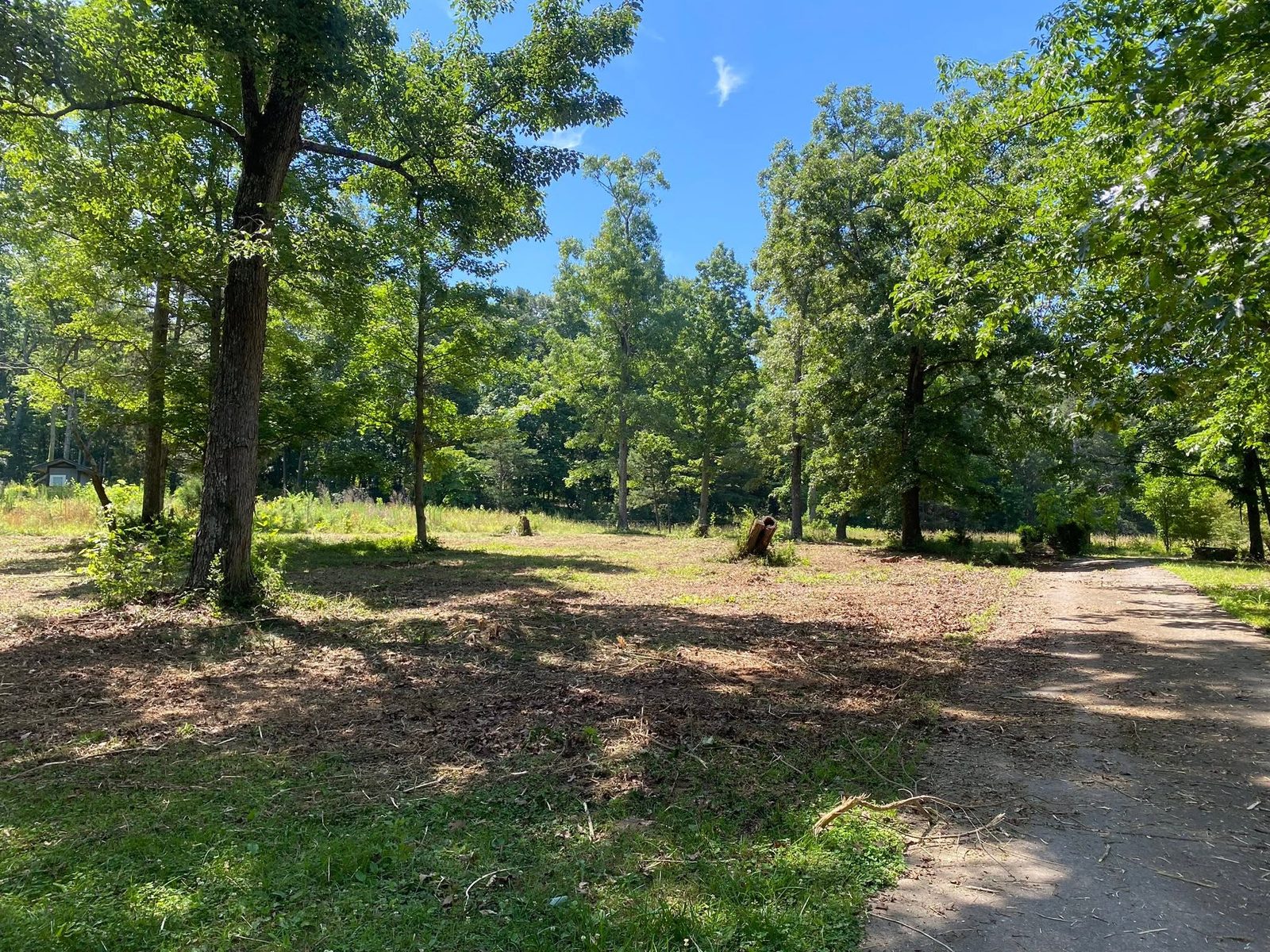
Two federal map layers cannot agree on what Pickens County is. The USGS physiographic coverage calls all 232 square miles of it Piedmont, every grid point, Burnt Mountain included. The EPA ecoregion coverage calls the same points Blue Ridge. That is not a clerical dispute. It is what happens when a county sits exactly on the seam, and the ground under a job here behaves like the seam: mountain slope on top, hard metamorphic rock underneath, and almost no soil in between.
Jasper, Nelson, Talking Rock, and Then County Road
Three incorporated places touch this county and all three are small. Jasper accounts for 3.8 percent of the land area, Talking Rock for 0.9, Nelson for 0.3. Add them and you have 4.9 percent, which leaves roughly 220 square miles that no city limit reaches. Tate, Marblehill, Ludville, Hinton, Blaine, and Scarecorn all lie in that stretch, and so does most of the acreage anybody buys up here.
Property out that far comes with its own infrastructure. Well, septic field, and a private drive that has to carry a concrete truck one day and a wrecker the next. There is no storm system waiting at the property line to take runoff off your hands, which means every cut, every pad, and every ditch has to end somewhere on purpose. That constraint drives the sequence of work far more than acreage does.
Fifteen Inches of Dirt Over Mica Schist
Survey area GA622 covers Cherokee, Gilmer, and Pickens, and inside the Pickens overlap one soil dominates so completely that it is worth naming first. Tallapoosa covers roughly 67,000 acres, more than three times the next component on the list, and it hits weathered bedrock at 38 centimeters. Fifteen inches. NRCS classes it shallow, rates it hydrologic group D for the highest runoff there is, and maps it on slopes up to 60 percent.
Talladega is second at roughly 22,000 acres. It forms in residuum from quartzite and metasedimentary rock, it is stony, and it is mapped to 70 percent slopes with a dense layer at 66 centimeters. Between the two of them you have most of the county covered by soils that are shallow, steep, and quick to shed water.
The deeper soils exist but they are not where most people build. Madison runs about 16,000 acres and Hayesville about 10,100, both well drained and both a pleasure to work compared to what surrounds them. Down on the bottoms, Cartecay and Chewacla together cover under 7,000 acres in the entire county, and both are somewhat poorly drained on nearly flat ground. Cartecay is worth a mention for its own sake: NRCS established that series right here in Pickens County in 1969, and it is the only leading soil in the county that got its start in the county.
Marble belongs in this section too, because people ask. It is documented by name in USGS records: Georgia Marble Company Lake is a GNIS feature in this county, so is Marblehill, and the USGS geologic names lexicon carries the Murphy Marble across Georgia, North Carolina, and Tennessee. What it does not do is show up in the soil survey. Not one component in GA622 lists marble in its parent material. So the stone is in the bedrock story, not in the dirt a bucket moves, and treating a lot near Tate as though it were limestone farm ground would be a mistake.
A Divide Runs Right Through the County
Stand at Jasper and the water under your boots is headed for the Etowah, basin 03150104. Drive northwest to Talking Rock or Ludville and it is headed for the Coosawattee, basin 03150102. Burnt Mountain sits on the Coosawattee side. Both basins end up in the Coosa eventually, but they take completely different routes to get there, and the ridge between them runs through the middle of this county.
The named water follows the split. Talking Rock Creek covers 58 kilometers, most of it here, and carries the northwest side toward the Coosawattee. Scarecorn Creek runs 22 kilometers and never leaves Pickens. On the south and east, Long Swamp Creek and Sharp Mountain Creek carry the county's water down into Cherokee toward the Etowah. The Etowah River itself never actually enters Pickens; the county reaches it through those two creeks.
The Jasper gauge averages 58.65 inches of precipitation a year at an annual mean of 58.3 degrees. Of the four stations behind these county records it is both the wettest and the coolest. March leads at 5.89 inches. October is the lowest month and it still averages 4.01. There is no genuinely dry season in Pickens County. There is only a less wet one.
What This Ground Does to a Job
Shallow soil on steep ground changes the order of operations. Scrape the surface off a slope where bedrock sits at fifteen inches and there is nothing left to hold anything, so forestry mulching earns its keep here: the growth gets ground where it stands, the chips stay on the hill, and the roots keep doing their job while the new cover comes in. Where a tract really does need stumps gone and a clean surface, on the deeper Madison and Hayesville ground or on a bench being turned into a homesite, land clearing is the right tool and the two get used together more often than either gets used alone.
Expect rock and price the job around it rather than around a hope. Fifteen inches to weathered rock on the county's most common soil means footings, utility runs, septic lines, and any cut deeper than a shovel are all in play. That is not a reason to avoid a project. It is a reason to find out what is under the specific spot before a machine shows up, which is what a walk-over is for. Excavation and dirt work on this ground goes better when everybody agrees in advance about what happens if the bucket finds ledge.
Access is the other recurring problem. A drive climbing to a homesite on this ground has grade, curves, and 58 inches of annual rain working against it. What holds is a crowned surface, an uphill ditch that empties somewhere, turnouts spaced close, and pipe under every wet weather crossing. What does not hold is a strip of crusher run laid on a bulldozer cut and left flat, because water will find the ruts and use them.
Bottom ground gets treated as its own category. There is not much of it here, under 7,000 acres of Cartecay and Chewacla in the whole county, and it is somewhat poorly drained by classification. Filling it to build on is usually the expensive way to solve the wrong problem. Getting an outlet cut and letting the flat ground stay flat ground is usually the cheap way.
Own acreage around Jasper, Tate, Marblehill, or anywhere on the county roads between them? Text or call John on (706) 936-4615, or put what you have in the quote form. Nothing here gets priced off a satellite photo.