Jasper sits high. Sample elevations across the city limits and the lowest ground comes back near 1,109 feet while the highest runs close to 1,583, so the bottom of this town is higher than the top of most towns in northwest Georgia. The 2020 count put 4,084 people and 1,718 housing units inside about 8.5 square miles, which is roughly three acres of town per housing unit. State Routes 515, 53, 5 and 136 all reach the limits. Philadelphia Road, Upper Salem Church Road, Pioneer Road and Piney Ridge Road carry most of what happens off them. Legacy Land Care covers Jasper from Rome, about 54 miles by road, and John Mulkey runs the equipment himself.
The City Limits Straddle a Divide
Six named streams run inside these limits, which is a lot for eight and a half square miles. Mill Creek carries the most channel, then Long Swamp Creek, Polecat Branch, Hinton Creek, Town Creek and Hobson Creek. Six subwatersheds touch the city too, and they do not all go the same direction. The middle of Jasper drains through the subwatershed named for Town Creek, headed toward the Etowah. The northwest edge of the limits reaches into a subwatershed named for Hobson Creek and Talking Rock Creek, which belongs to the Coosawattee basin instead.
That is not trivia. It means two parcels a mile and a half apart in the same town can hand their water to different river systems, through different channels, at different grades. Before anything gets cut on a property here, the question that matters is which way this particular piece of ground drains and what it runs into first. Everything after that is easier once it is settled.
Thin Soil Over Hard Rock
Tallapoosa turns up on roughly a third of the sample points inside the limits, across three map units running from 10 to 60 percent slopes. Talladega is next, mostly channery loam on 10 to 25 and 25 to 60 percent slopes, formed in residuum from quartzite and metasedimentary rock. Madison and Hayesville are the deeper, kinder soils and they hold the gentler ground closer to town.
Those two leaders behave differently and both of them argue for the same tool. Tallapoosa carries the highest runoff rating and stops at about fifteen inches of soil. Talladega is stony, sits in group C, and is mapped on some of the steepest slopes in the survey. Neither one has depth to spare, and on ground that steep the litter layer and the root mat are doing structural work. That is why forestry mulching is usually the right first pass around Jasper. It opens a property up without taking the cover off the hill at the same time, and the chips it leaves behind hold the surface through the next storm.
Where the ground flattens into a bench, an old pasture or a field edge, land clearing that lifts stumps and root balls is the honest answer, because half-removed roots make everything after them harder. The choice between the two is a slope-by-slope call on the same tract, not a decision made once at the gate.
What the Marble in the County Name Does Not Tell You
Pickens County carries marble in its place names. USGS records include Marblehill and Tate as populated places and Georgia Marble Company Lake as a reservoir, all inside this county. What the soil survey does not carry is marble. Go through the parent materials mapped across this survey area and the list runs to gneiss, quartzite, granite, mica schist and other metasedimentary rock, with washed material filling the bottoms. Nothing under Jasper itself is mapped as weathering out of marble.
The practical version is short. Plan the job on what is mapped under the parcel and confirmed by a probe, not on what the region is famous for. Around here that means shallow, stony, high-runoff ground with a few deeper pockets, and it means expecting rock at working depth more often than not.
Drives That Climb
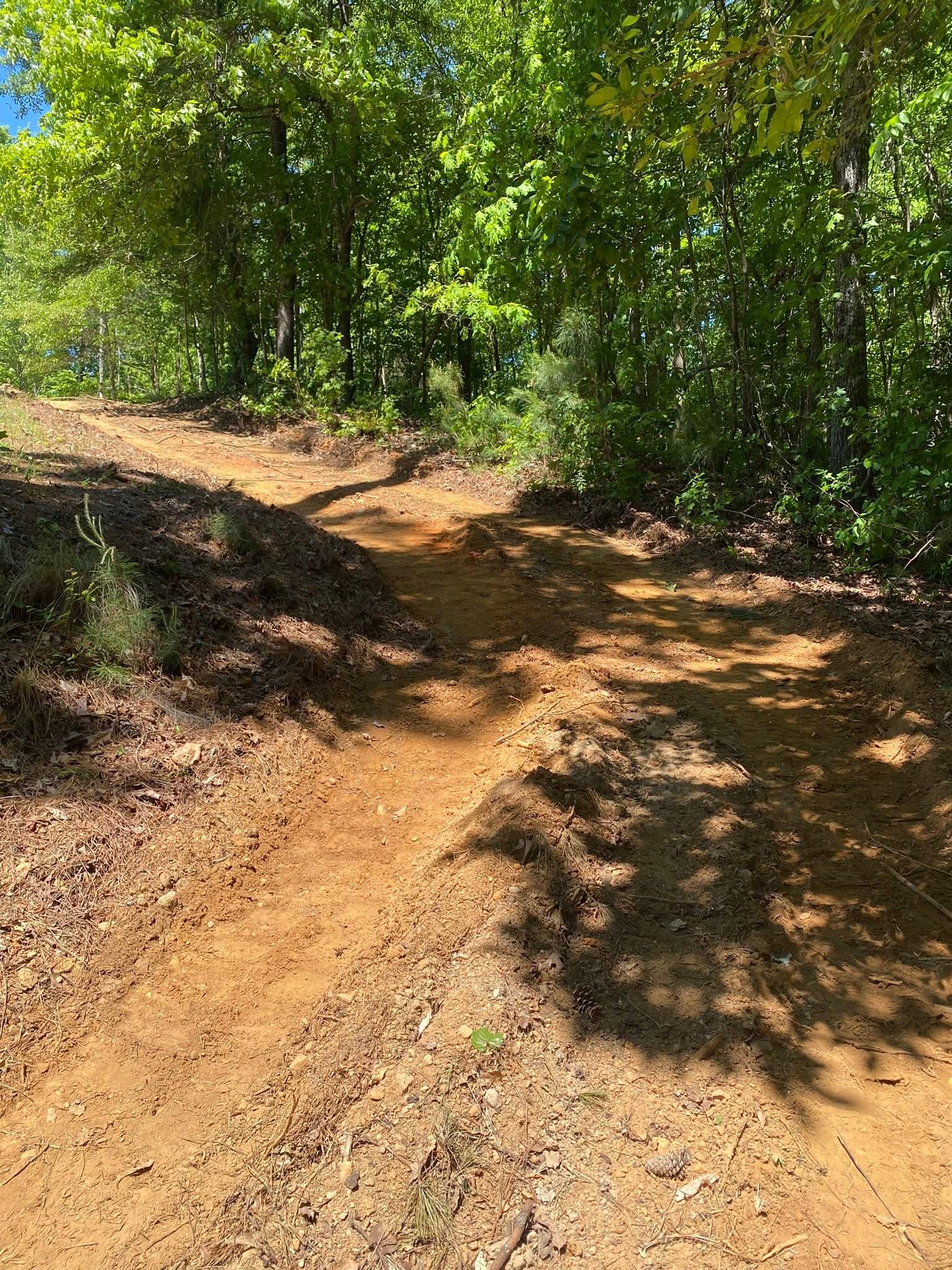
Almost 475 feet of relief inside one set of city limits means a lot of approaches around Jasper are climbing something. An approach on a grade has to earn its keep twice, once as a road and once as the thing that decides where the runoff goes. It has to be crowned so rain leaves the surface sideways rather than running the length of it, ditched on the uphill side, and interrupted often enough with turnouts that no stretch ever gathers a damaging volume. Gravel driveway and access work on hill ground is built around that, and it is the difference between hauling stone once and hauling it every spring.
Where a house, shop or barn is going in behind the road, grading and site prep decides how much of the building spot gets cut out of the hill and how much has to be built onto it, and excavation and dirt work is what makes the approach and the house site agree with each other instead of fighting.
Bottom Ground Along the Creeks
Not all of Jasper is steep. The Chewacla and Cartecay complex covers a real share of the sampled ground along the creek bottoms, both of them somewhat poorly drained on zero to two percent slope. Those are the flats that look like the easiest place on the property to put something and behave like the hardest.
Ground that flat next to a channel does not only answer to its own rain. When the creek comes up, the water under the nearby ground comes up with it, so a spot that reads dry in September will not read dry in February. Drainage and water control down there is about finding an outlet with real fall to it before any dirt gets shaped, because grading saturated bottom ground without one just prints the same problem in a new outline.
Got a wooded tract around Jasper that needs opening, a homesite to bench in, or a drive that keeps washing out on the climb? Call or text John at (706) 936-4615, or send the details through the quote form. He walks the property, checks what is actually under it, and then gives you a price.