Whitfield County is laid out in strips. Shale valley, then limestone valley, then a sandstone-capped ridge, then the same order again, all of it running northeast to southwest. Dalton sits at 761 feet. Rocky Face Mountain, 2.7 miles away, tops out at 1,769. Nearly every property line in this county crosses at least one of those changes, and the dirt on either side of it does not act alike.
Beyond Dalton, Varnell, Cohutta and Tunnel Hill
Four places here carry a city limit, and together they leave most of 290 square miles outside any of them. That is where the acreage is: bottomland along the Conasauga on the east side, farm and timber tracts up the north end toward Cohutta and Varnell, and steep wooded lots climbing the west-side ridges.
Property out there comes with no municipal stormwater, no municipal water, and no help at the end of the driveway. A wet-weather branch crossing the access road is yours to bridge or pipe. A spring seeping out of a hillside is yours to route. The location of a well and a septic field constrains the finished grade before a single stake goes in the ground, and on a narrow bench between a ridge and a creek there is not much room to be casual about it.
Shale on One Side, Chert on the Other
The shale is what most people here are actually building on. Townley alone accounts for roughly 29,700 acres, more than any other dirt here, and it formed on shale or interbedded sandstone and shale and hits soft rock about 27 inches down. Montevallo covers about 16,000 acres and hits rock at ten. Conasauga, another shale soil, rounds it out. All three carry the highest runoff rating the survey assigns, which is the part that catches people out, because they are not wet soils. They shed because water cannot get down through them.
The limestone strips do the opposite. Bodine is the only soil in the county rated in the lowest runoff class, and it drinks water fast because it is more chert than dirt. Minvale and Fullerton are deeper versions of the same idea, and every one of them will fill a bucket with hard chert fragments that no blade is going to slice. Deep does not mean easy here. It means a different kind of hard.
Then there are the pans. Shack carries a dense brittle layer at 30 inches and Wax carries one at 29. Water reaching that layer stops going down and starts going sideways, which is why a field can be firm in one spot and mush forty feet away with no visible change in slope. On the flats beside the Conasauga and Coahulla, Chenneby and Arkabutla sit on almost no fall and are rated somewhat poorly drained. Ketona is worse than that: poorly drained clay over limestone, on the same near-level ground.
The County Line Is Also a Continental Divide
Just under 80 percent of Whitfield drains south through the Conasauga River, which joins the Oostanaula, then the Coosa, then the Alabama, and reaches the Gulf at Mobile Bay. The northwest corner does not. About 19 percent of the county sits in the Tennessee River basin, where East Chickamauga Creek carries water north into Catoosa County, on to the Tennessee, then the Ohio and the Mississippi. A ridge crest is all that separates those two answers.
Inside the Conasauga side, Coahulla Creek is the workhorse, running nearly 49 kilometers through the north end before it meets the river. Mill Creek drains the middle of the county, Swamp Creek the southeast, and Drowning Bear Creek the ground just east of Dalton. All of them cut through the shale bottoms, which means their floodplains are silt rather than sand and they hold water long after the flow drops.
Rainfall is not the whole story, but it is a big part of it. The nearest published annual normals bracket the county between roughly 50 and 58 inches depending on which side you measure from, and Dalton itself averages 60.9 degrees. Rain that lands on Townley or Montevallo has almost nowhere to go but downhill. Rain that lands on Bodine mostly disappears. Ridge to valley, that transition can happen inside one tract.
How the Strips Change the Work
On the ridge shoulders, take the growth off without taking the ground with it. Forestry mulching grinds standing brush and small stems in place and leaves the chips and the root mat holding the slope, which matters more on ten inches of Montevallo than it would on four feet of loam. Once that mat is gone from a shale face, there is not much left to hold.
Where a pad, a pond, a road cut, or a stump field needs real digging, excavation and dirt work has to reckon with what is under the first two feet. Shale at 27 inches will let you cut, then stop you. Chert will slow you down the whole way without ever being solid rock. Neither one is a surprise if the property gets walked first, and both are expensive surprises if it does not.
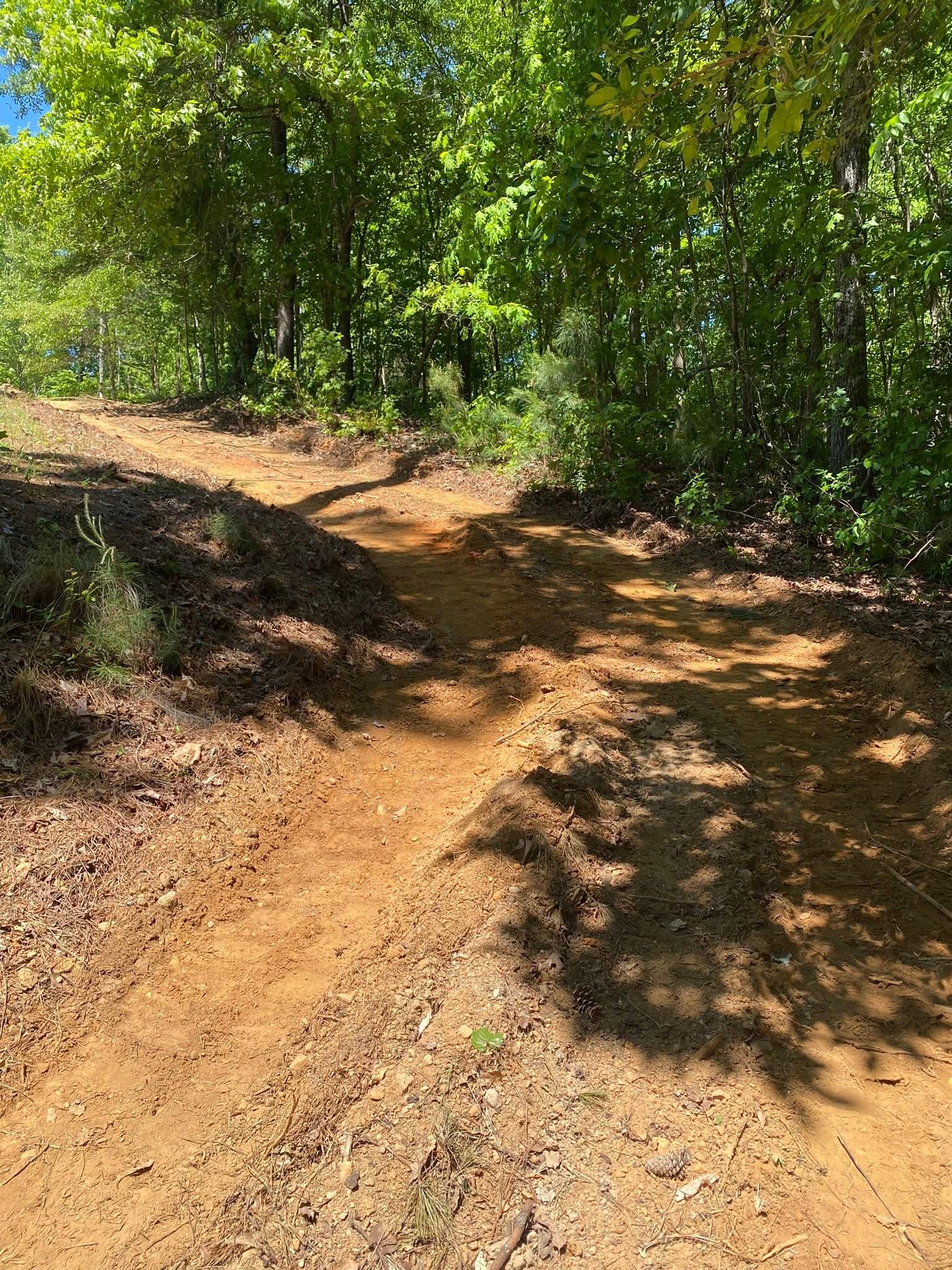
Access on the west side of the county is its own problem. Climbing a ridge means a sustained grade, and a sustained grade on ground that sheds means a road that collects. Driveways and access work here is mostly about breaking the run: crown, ditch, and enough turnouts that no stretch ever carries water long enough to start cutting. Pipe goes where the branch already crosses, sized for the flow coming off the ridge above.
For building, the pan soils change the plan. A slab set over a brittle layer is sitting on top of a shelf that water travels along, so grading and site prep means catching that water uphill and giving it a route past the structure rather than under it. On the bottoms, elevation is the whole answer, and the fill has to come from somewhere that is not the low corner you are trying to fix.
If you own ground outside Dalton, Varnell, Cohutta, or Tunnel Hill and want a straight read on the dirt before you commit to a plan, get in touch at (706) 936-4615 or put the details in the quote form. John prices a job after he has stood on it, not before.