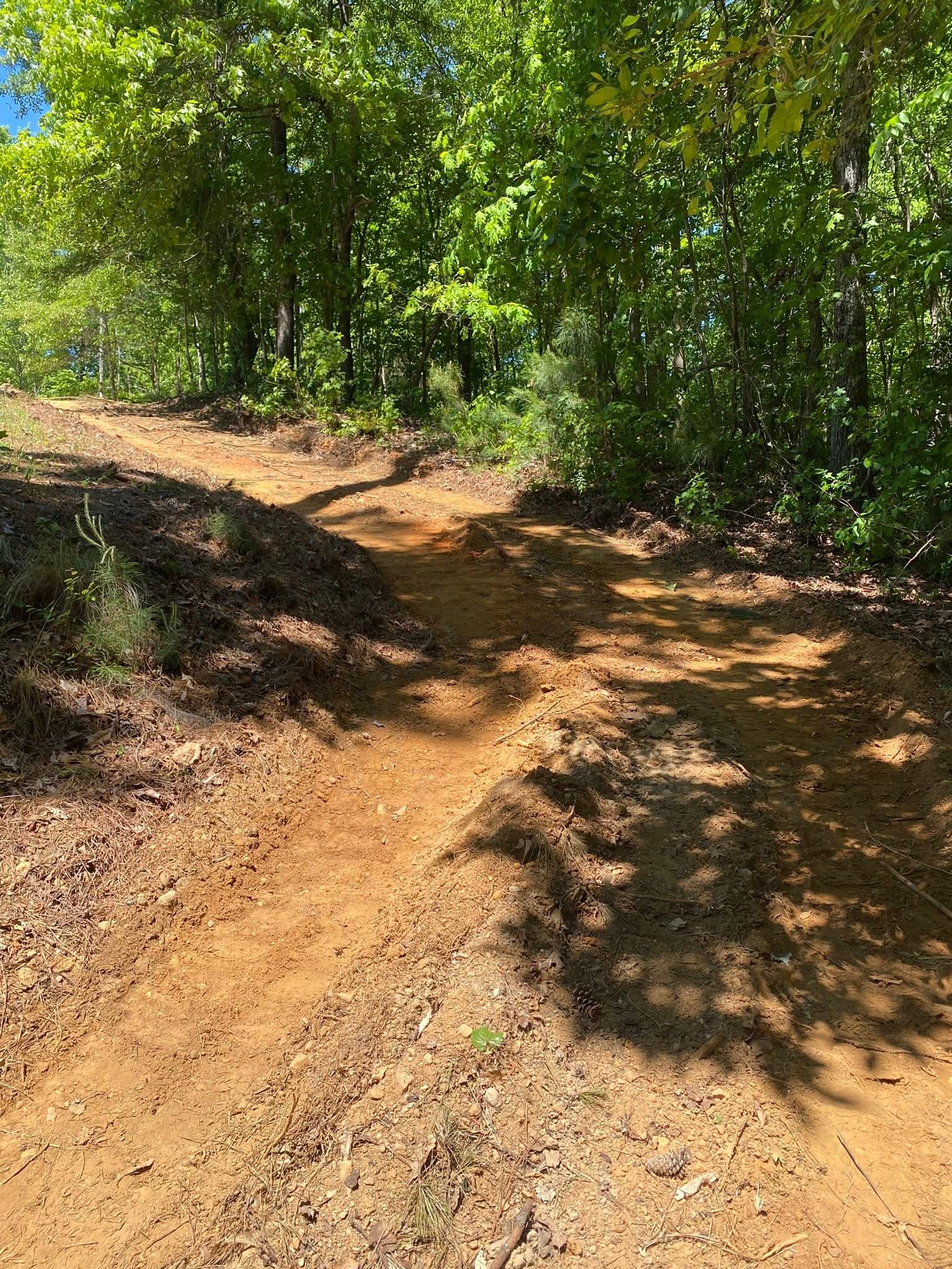
Murray County puts a mountain wall on one side and a shale valley on the other. Bald Mountain reads 4,002 feet up on the east line. Chatsworth, 3.6 miles off the Fort Mountain summit, reads 746. The Chatsworth gauge catches 57.50 inches of rain a year across all of it, and gravity handles the rest. So the first thing worth knowing about a piece of property here is which half of the county it belongs to, because the two halves do not behave alike at all.
Two Towns, Three Hundred Forty Square Miles
Chatsworth and Eton are the only places in this county with a limit sign. Add them together and you get 6.48 square miles out of 344.5, which is 1.9 percent. Everything else, better than 337 square miles, is county road and private drive. Cisco, Crandall, Ramhurst, Spring Place, Sumac, and Tennga are all out in that part, along with every farm and cabin and hunting tract on the roads between them.
Out there the utilities are yours. Water comes from a well or a line you paid to run, waste goes to a field somewhere on the property, and rain that lands on your dirt stays your problem until it reaches a creek. The drive is the same story. Nobody else maintains it and nothing else gets a loaded truck to the house. Those three things set the order of work on a mountain property more than anything a plan drawing shows.
Metamorphic Rock East, Shale West
The soil survey here is GA648, Murray and Whitfield Counties, and reading it is like reading two different counties stapled together.
Up in the Cohuttas the soils weather out of metasedimentary rock. Junaluska covers more ground than anything else in the county, roughly 32,400 acres, and it sits on slopes that run to 70 percent. Tsali reaches soft bedrock at 35 centimeters. Cataska reaches it at 41, comes loaded with rock fragments, and is rated excessively drained on slopes from 5 to 70 percent. Nothing up there holds much water and nothing up there gives you much to cut into.
Drop into the valley and the parent rock changes to shale and siltstone. Montevallo is second in the county at roughly 28,900 acres, and the survey puts weathered shale under it at 26 centimeters. Ten inches. Townley runs about 24,100 acres and Conasauga about 6,400, and Montevallo, Townley, and Conasauga all carry hydrologic group D, the highest runoff class NRCS assigns. Water does not soak into that ground so much as leave across the top of it. Then along the creek bottoms Chenneby takes over, a silty flood plain soil the survey calls somewhat poorly drained, sitting on almost no fall, and it stays damp because that is what bottom ground does.
Nearly All of It Goes to the Conasauga
Basin 03150101 covers Chatsworth, Cisco, the Fort Mountain slope, and the whole western valley, and that basin is the Conasauga. The river itself is a traveler: 150 kilometers of flowline that touch Whitfield and Gordon Counties here and Bradley and Polk Counties over in Tennessee. Two creeks feed it without ever leaving Murray County. Holly Creek runs 61 kilometers off the mountain front and Sumac Creek runs 32 in the northwest. Jacks River comes down through the Cohuttas and joins the Conasauga at the top of the county. Down at the south end, around Carters, the ground tips the other way into basin 03150102 and the water goes to the Coosawattee instead.
One name gets attached to this area that does not belong to it. Coahulla Creek is close by and people place it here, but its 82 kilometers of flowline sample into Whitfield County and Bradley County, Tennessee, and not one segment falls inside Murray. If a survey or a plat mentions it on your property, that is worth a second look.
The rain does something here that surprises people who moved down from farther north. June is the wettest normal month at 5.54 inches, July is second at 5.43, and October is the driest at 3.45. The heavy water arrives in summer, in short hard storms, on ground that is already bare and warm. That is a different problem from a slow winter soaking, and it is harder on a fresh cut.
What That Means for Your Project
Start with slope, because slope is what this county sells. Ground running to 70 percent does not forgive a mistake and it does not wait until next season to show you one. Forestry mulching is the honest first tool on that kind of hillside, since grinding the growth in place leaves the root mat and a layer of chips holding the surface instead of stripping both away and hoping. Down on flatter valley ground headed to pasture or a homesite, where stumps have to come out from under whatever goes on top, land clearing with a blade and a grapple is the right call.
Then plan on rock, and plan on it in two different flavors. On the mountain side the rock is shallow and hard and it is under a lot of the ground, not just some of it. In the valley the rock is closer than people expect too, because ten inches of Montevallo over weathered shale is not a foundation, it is a lid. A cut that reads simple on paper can turn into a different machine and a different day once the bucket finds the shoulder. Better to walk that out on the property first.
A gravel drive coming off a mountain front is a creek bed unless it is built not to be. Crown it so water leaves the surface sideways. Ditch the uphill side and give the ditch somewhere to go. Set turnouts close enough together that no single run gathers enough water to start digging. Put pipe under wet weather branches instead of a dip that turns soft in June. On the valley clay there is a second job under the first one, because a base laid straight onto group D soil moves when that soil moves.
Hunting and timber tracts get their own treatment. Opening a lane, a shooting lane edge, a food plot, or a road into the back forty is recreational land work, and on ground this steep the layout matters more than the acreage. A trail cut straight up a slope becomes a gully by the second summer. Cut it across the hill, break the grade often, and it holds.
If your place is out past Chatsworth and Eton and you want a straight read on what your ground will do, call or text John at (706) 936-4615, or send the details through the quote form. He looks at the ground before he puts a number on it.