Chatsworth is the flattest town Legacy Land Care covers and it sits directly under some of the highest ground in Georgia. Sample elevations across the city limits and the whole town falls between about 693 and 793 feet. That is a hundred feet of spread over five square miles. Camp Ground Mountain stands less than two miles out and Fort Mountain a few miles past it. The 2020 count put 4,874 people and 1,908 housing units inside 5.1 square miles. US 411 and US 76 come through, along with State Routes 2, 52, 61 and 225 and G I Maddox Parkway. Legacy Land Care works Chatsworth out of Rome, about 54 miles by road, owner operated and insured.
Two Different Origins Meet Under the Same Streets
The soil under Chatsworth is not one story, it is two, and they sit side by side. On one side is shale country. Townley shows up on close to a quarter of the sample points inside the limits, with Montevallo and Conasauga behind it, all three formed in residuum weathered from shale and siltstone and all three carrying the survey's group D rating, which is its bottom category for how fast a soil absorbs rain.
On the other side is old alluvium. Waynesboro covers roughly a fifth of the sampled ground, formed in old alluvium derived from limestone, sandstone and shale, well drained and rated group B. Sequatchie and Holston sit near it in the same family. That material did not weather in place. It washed down off the higher country and settled here, and it drains like something that has already been sorted by water once.
What that means on a job is that two lots on the same block can behave differently for reasons that have nothing to do with how they were built. Same rain, same grade, different answer. It is worth knowing which one a property is on before deciding whether the fix is drainage and water control or simply yard leveling to make the surface shed.
The Survey Says a Lot of This Ground Has Already Been Moved
Several of the map units under Chatsworth are complexes that pair a soil series with urban land, which is the survey's way of recording that a large share of the surface is now roof, slab, drive and pavement. Another block of the sample came back as Udarents, the class used for ground that has been disturbed, cut, filled or hauled in rather than left where it formed.
That is honest and it is useful. It means the map tells you the neighborhood, not the lot. On built ground in this town a probe and a walk will regularly find something the map cannot: old fill, a buried drive, a cut face that was never keyed in. Planning grading and site prep around what is actually down there beats planning around what a map unit is named.
Where the Water Stops
Holly Creek carries the most named channel inside the city limits, with Mill Creek behind it. Lower Mill Creek is the name on the subwatershed that covers downtown, and the limits also reach Town Branch and two more carrying the Holly Creek name. Down on the flats the survey maps Ketona silt loam, poorly drained, on zero to two percent slopes, and Arkabutla silt loam, somewhat poorly drained, both of them occasionally flooded.
Put those pieces together and Chatsworth's problem is not fall, it is the lack of it. A hundred feet of relief across an entire town means water does not leave in a hurry anywhere. On the group D ground it never soaked in to begin with, and on the flats it has nowhere to hurry to. So a wet corner here usually is not a broken line and usually is not a spring. It is a low place with no outlet, on ground that either sheds everything or holds everything.
The fix is a route and an outlet with enough fall to work, cut before any dirt gets shaped. That order matters more here than in hill country, because saturated ground does not compact, it shoves, and a pad built on it will tell on you the first wet month.
Clearing at the Foot of the Mountain
Get to the edge of the valley floor and the ground changes fast. Montevallo meets weathered bedrock about ten inches down and is mapped on slopes running up to 60 percent in this survey area. Thin soil on that kind of pitch stays where it is because roots and litter are holding it, and stripping both at once is how a slope loses what little it has.
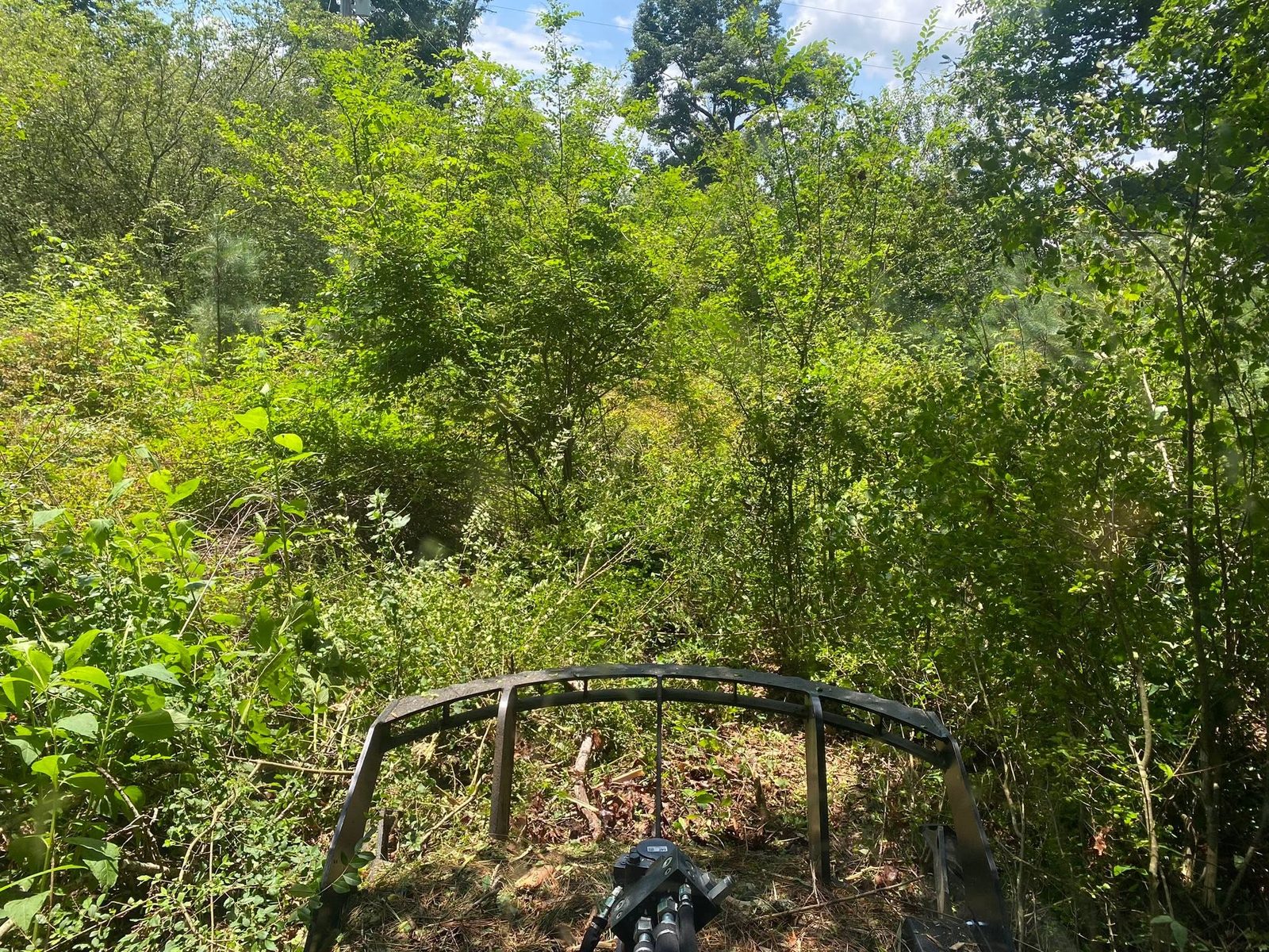
That is the case for forestry mulching on the rising ground and for land clearing out on the flat, where a blade earns its keep and stumps can come out cleanly. Where a hayfield has started growing itself shut, bush hogging knocks it back before saplings turn it into a clearing job, and fence line clearing opens a boundary that has vanished into privet and sweetgum.
Drives, Pads, and What Goes Under Them
A drive on flat, tight ground fails in a way people do not expect. It does not wash away, it sinks. Stone set straight onto ground that never fully dries has nothing firm to push against, so the base migrates downward under load rather than spreading it. The drive does not vanish all at once. It goes an inch a season until the surface is dirt again. What holds is depth, a base built to carry weight, and something keeping the stone from mixing into the soft ground below it, which is what gravel driveway and access work is really constructing. On the sloped edge of town the same job turns into crowning, ditching and turnouts instead.
For a shop, a barn or a house going up around Chatsworth, excavation and dirt work gets the pad up out of the wet and gets the fall pointed away from it before anything is poured.
Have a lot in Chatsworth that stays soft, ground at the foot of the mountain that needs opening up, or a drive that keeps disappearing into the dirt? Call or text John at (706) 936-4615, or send the details through the quote form. He looks at it in person and tells you straight what it needs.