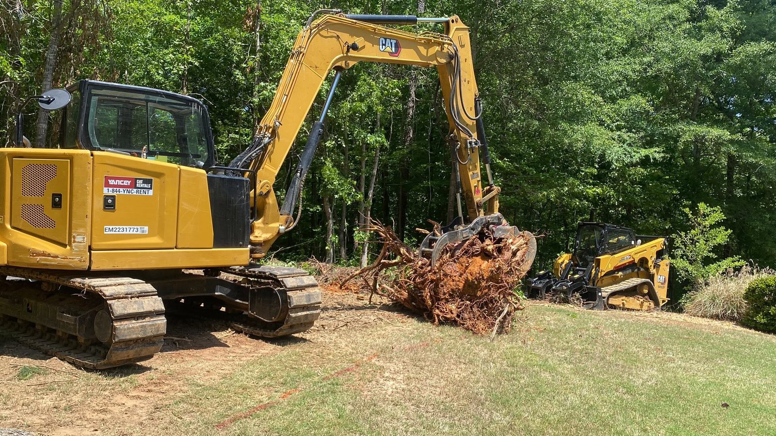
LaFayette is the seat of Walker County. The courthouse stands at the middle of a square, and Main Street, Patton Street, Duke Street, and Villanow Street all run off it. About 6,888 people live inside the limits in roughly 3,153 houses, on a little over eight square miles. Eight square miles is a lot of ground for that many roofs, and it shows: leave the square in any direction and the blocks thin out into pasture, pine, and hollow. US 27 comes through carried as State Route 1, with the business route running the old center on Main. State Routes 136, 193, and 337 all reach the city, and Lyle Jones Parkway and Shattuck Industrial Boulevard handle the edges. Legacy Land Care comes up from Rome on that same US 27, about forty miles. John Mulkey owns the outfit and he is the one on the controls.
Everything That Falls Here Leaves to the South
Go a few miles north of LaFayette and rain ends up in the Tennessee River. It does not do that here. Every subwatershed touching this city belongs to the upper Coosa instead: Town Creek and the Chattooga River, Duck Creek and the Chattooga, and Lower Cane Creek. The limits hold about four and a half miles of Town Creek and better than four miles of the Chattooga River itself, plus Stanfield Branch and Arnold Branch. The LaFayette City Reservoir and Wilson Ponds sit inside the line as well.
For a property owner that means the outlet question usually has a real answer. There is a channel with somewhere to be within reach of most of this town, which is not true everywhere in northwest Georgia. The work is getting water off your ground and into that system without cutting a gully on the way, and without handing the problem to the property below you. That is the whole of drainage and water control on a LaFayette lot: find the fall, use it, and quit before the water picks up enough speed to start moving dirt.
Shale on One Side, Chert on the Other
The soil survey does not tell one story about this town. Across a good share of the city it maps Townley and Montevallo together, on slopes from 2 to 15 percent. Both are shale soils and both fall in hydrologic group D, the class that takes in water the slowest. Toward the west and northwest the map picks up Conasauga paired with urban land, which is the same slow shale story with roof and pavement laid over part of it.
The east side reads nothing like that. Out toward Peavine Ridge, which lies inside the city limits, the survey maps Minvale and Shack together on 10 to 25 percent slopes, and Fullerton gravelly silt loam on 10 to 15. Those two carry chert, the flint hard residue limestone leaves behind when it dissolves. Chert makes a bucket heavy fast, and it is unkind to cutting edges. The ridge carries the high ground in town, better than a thousand feet, while the low ground down along the creeks runs closer to seven sixty. Three hundred feet of rise and fall inside one small city is why a plan that works on the north end can be wrong on the east end.
On the shale side the answer is usually routing, because that ground is going to shed no matter what you do to it. On the chert side the answer is often to grind cover in place rather than strip it, which is what forestry mulching is for. A slope that is not moving is being held by its root mat. Take that and the litter off together and the hill starts to travel.
A Fifth of This Town Has Already Been Rearranged
One map unit covers more of LaFayette than any other, and it is not a natural soil at all. The survey calls it Udorthents on 0 to 12 percent slopes, and that name is the survey saying it cannot map a normal profile here because the ground has been cut, filled, and pushed around already. Roughly a fifth of the city carries it.
That is worth knowing before anybody puts a bucket in the dirt. Made ground does not behave like ground that has sat undisturbed. Fill can be uniform and well compacted, or it can be brush and rubble with dirt over the top, and from the surface both look the same. The way to find out is to open it and look, not to guess from a plan. When grading and site prep puts a pad on ground like this, what is underneath decides whether the slab sits still. The same goes for excavation and dirt work anywhere near the older industrial edges of town, and for demolition where something is coming down and something else is going up in its place.
There Is Still Real Acreage Inside the City Line
Plenty of towns this size are built out to the fence. LaFayette is not. Between the square and the city limit there are tracts that have not been touched in years: old pasture gone to privet and sweetgum, homeplaces with the woods closed in around them, fields nobody has run a mower over since the last owner. That is a different job than a quarter acre behind a house on Chattanooga Street or Magnolia Street, and it gets planned differently.
On open acreage, land clearing taken down to bare dirt, stumps and root balls out, belongs on ground flat enough to hold what you put on it, and only after somebody has decided where the water goes once the cover is gone. On the sloped tracts toward the ridge, mulching is usually the better tool. Either way the access comes first, because a machine that cannot get in cleanly tears up more than it fixes. Building that approach is gravel drive and access work, and on a long farm entrance the ditch beside the stone decides more than the stone does.
Got a lot in town that got away from you, or a tract out toward the ridge that needs opening back up? Text John at (706) 936-4615 with the address, or put the details in the quote form. He drives the property before he puts a number on it.