Dade County is the far northwest corner of Georgia and it is shaped like nothing else in the state. Sand Mountain forms the west wall, Lookout Mountain the east, and Lookout Valley runs between them with Trenton on the floor at 755 feet. Walk a line straight across the county at Trenton and the ground reads 1,466 feet, 1,601, then 754 and 728 on the valley floor, then 1,935 and 2,177 going up the other side. Two mountains and a trough. Every job here is somewhere on that cross section, and where it sits decides most of what the job is.
The County That Georgia Could Not Reach
Dade was cut out of the western end of Walker County in 1837, and Walker is still the only Georgia county it touches. That one shared line, about 27.6 miles of a 66.5 mile boundary, runs the crest of Lookout Mountain, and sampled along its length it sits between 1,538 and 2,230 feet. The other 58.5 percent of the boundary is Alabama and Tennessee. Until 1939 the only vehicle access into the county was through those two states, which meant driving out by way of Chattanooga or by way of Alabama to reach the rest of Georgia. That is where the old name comes from, the State of Dade.
The terrain that produced the nickname is still the terrain, and it still runs the work. One incorporated place exists in the whole county. Trenton covers about 3 of Dade's 174 square miles, which leaves roughly 171 outside a city limit: Rising Fawn, New England, Wildwood, West Brow, the farms on the valley floor, and the cabins and hunting tracts up on both mountains. Getting a machine to a piece of ground here is a real question with a real answer, and it is worth asking before anything is scheduled.
Sandstone on Top, and Not Much Under It
The four most extensive soils in Dade County are all sandstone soils. Hartsells covers roughly 21,800 acres and meets rock at about thirty two inches. Nauvoo adds 15,900. Hector runs 11,800 and stops at fifteen inches. Bouldin, 7,600 acres of sandstone rubble, is mapped on slopes between 20 and 60 percent, which is the material that has come off the rim and piled at the foot of it.
Then there is the number that matters most on a bid. Rock outcrop is mapped as a major component on about 6,500 acres of Dade County, roughly 5.8 percent of it. In Walker County that figure is 2.1 percent and in Catoosa 1.0. Better than one acre in twenty here is mapped rock at the surface, and shallow soil covers a good deal more. Down on the valley floor the story changes: Fullerton and Bodine are chert soils off limestone, Lyerly is heavy clay where the limestone goes shaly, and Pettyjon and Steadman lie flat along Lookout Creek at zero to two percent slope.
Lookout Creek Takes Almost All of It
One stream runs this county. Lookout Creek carries 58.4 kilometers of flowline inside the boundary, more than four times the next longest, and it drains the valley floor north into Tennessee. About 88 percent of Dade County goes that way. The Sand Mountain side, roughly 7 percent, drops west and southwest toward Guntersville Lake in Alabama, and the south end, roughly 5 percent, goes to the Upper Coosa. Two of those three exits leave the state before they get anywhere.
The mountains shed into the valley by way of the gulfs. That is the local word and GNIS uses it: 20 of the 23 valley features named in this county are a Gulf or a Gulch. Sitton Gulf, Tatum Gulf, Wolfpen Gulf, Sugar Camp Gulf. Daniel Creek and Sitton Gulch Creek drop off the Lookout Mountain side that way, and Gulf Creek, Cole City Creek, and Squirrel Town Creek do the same elsewhere on the rim. A gulf is a short, steep, walled drain, so runoff reaches the valley fast and in one place instead of spread out across a slope. Neither weather station on these two mountains normals under 57 inches of precipitation a year, so there is plenty arriving.
Up on the Mountain and Down in the Valley
Work on the plateau tops and the brow is clearing work first. Ground up there is thin, rocky, and steep in places, and the fastest way to hurt it is to scrape it bare. Forestry mulching grinds standing growth where it stands, leaves the chips and the root mat in place holding the soil, and does not need a burn pile or a haul route, which matters when the haul route is a mountain road. On tracts kept for hunting and camps, recreational land work covers shooting lanes, food plots, trails, and opening up a spot for a cabin without stripping the whole ridge.
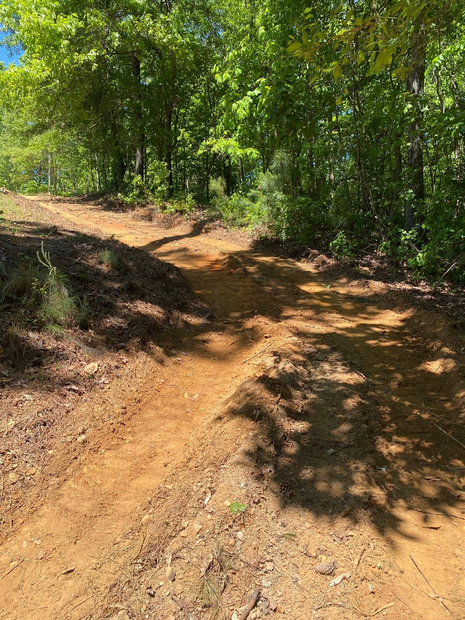
Access is the other half of it. A drive that climbs the brow or drops into a gulf is a channel by default, and 57 inches of annual rain will prove it. Crown, ditch, pipe at the crossings, and water turned off the road often enough that no stretch runs long enough to cut: that is the whole of drives and access, and none of it is optional on a grade. Where the base has to come out of the hill rather than off a truck, shallow soil means the answer sits between the excavator and the rock.
Down in Lookout Valley the ground is deeper and the questions change. Building pads, ponds, footings, hauling and placing dirt, cutting a level spot into a slope: that is excavation and dirt work, and on the valley clay it comes with the warning that heavy clay moves when it wets and dries. Along the creek bottoms the flats sit at almost no slope, which is fine until the water needs somewhere to go. And on either side of the county, walk-over first. Rock at fifteen inches turns an easy sketch into a different machine, and it is a lot cheaper to learn that standing on the property.
Whether your place is down in the valley near Trenton, New England, or Wildwood, or up on the brow at Rising Fawn or West Brow, get John on the phone at (706) 936-4615, or text, or fill out the quote form. Nothing on this kind of ground gets priced off a satellite photo.