Trenton is a small town in a narrow valley with a mountain on each side. The 2020 count found 2,195 people and 1,014 housing units on about 3.2 square miles, the smallest footprint of any town Legacy Land Care covers. Interstate 59 and US 11 run the length of the valley through it and State Route 136 crosses the other way and climbs out. Main Street, Lafayette Street, Court Street and Crabtree Street hold the middle of it, with numbered streets and Case, Poplar, Walnut, Barton and Georgia Avenues filling in around them. We work Trenton out of Rome, close to 70 miles by road, which is the longest run we make and still worth making. John Mulkey owns the outfit and operates the machine.
Three Square Miles With Five Hundred Feet of Climb In It
Sampled elevations inside the city limits run from about 689 feet to about 1,209. That is more vertical than any of the other towns we cover, packed into the smallest area of any of them, because the limits do not stop at the valley floor. They start up the flank.
The gaps tell you the same thing. Whiteoak Gap sits about a mile and a half out and White Oak Gap Road heads straight at it. Magby Gap and Range Gap are a little further along. Those are the notches where anything gets up out of this valley, and they are the reason a property here can be flat as a table or on a real grade depending on which side of town it sits.
Nearly Every Lot in Town Is Rated for Runoff
The single most common thing under Trenton is the Colbert and Lyerly complex, mapped as rocky on 2 to 6 percent slopes and again on 6 to 10 percent. Together those two units are close to a third of the sampled ground. Both series are clayey residuum weathered from argillaceous limestone. Both carry hydrologic group D, which is the survey's lowest rating for how fast a soil takes rain in.
They are not alone. Braxton, Barfield and Capshaw are group D as well, and so is the Udorthents unit that covers ground already disturbed by earthmoving. Add it up and about two thirds of the ground sampled inside these city limits is rated in the highest runoff class there is.
The practical translation is short. Rain that falls on a Trenton lot mostly does not go down, it goes across. A wet corner here is usually not a leak and usually not a spring. It is the lowest point on a property that received everything the roof, the drive and the ground uphill handed it. The remedy is a route with a real outlet at the end of it, and that is nearly the whole of what drainage and water control means here. It needs settling before any dirt gets shaped.
Rocky and Very Rocky Are Written Into the Map
The survey does not soften it. Several of the map units under Trenton carry rocky or very rocky right in the name, and one common unit lists rock outcrop as a component alongside Lyerly, Barfield and Braxton. Bodine gravelly silt loam turns up on the steep ground at 25 to 60 percent slopes, and the Townley and Montevallo unit on 15 to 45 percent slopes brings a soil that meets weathered bedrock about eleven inches down.
Rock in the profile decides the method more than the machine size does. Pulling stumps out of rocky clay leaves craters that have to be backfilled and compacted, and on some ground it lifts more stone than soil. Grinding growth in place avoids all of that, keeps the surface covered, and leaves a chip layer that holds through the next storm. That is why forestry mulching is often the better first pass here, and why land clearing that removes root balls belongs on the flatter, less stony ground where something is actually going to be built. Excavation and dirt work gets probed before it gets priced for the same reason.
Lookout Creek Takes the Whole Valley
Three named streams run inside the city limits: Lookout Creek carries the most channel, then Town Creek, then McClain Branch. The subwatershed at the center of town is named for Crawfish Creek and Lookout Creek, and the north end of the limits reaches into the one named for Sitton Gulch Creek and Lookout Creek. Everything in this valley eventually reports to the same channel.
Right beside it the survey maps Pettyjon silt loam on zero to two percent slopes, frequently flooded, formed in loamy alluvium derived from limestone and shale. Frequently flooded is a rating, not an opinion, and it should shape what goes where on a property that includes any of that ground. Build the pad off it, run the drive across it carefully, and give the low end an outlet instead of a basin.
Drives, Pads, and Ground Outside the Grid
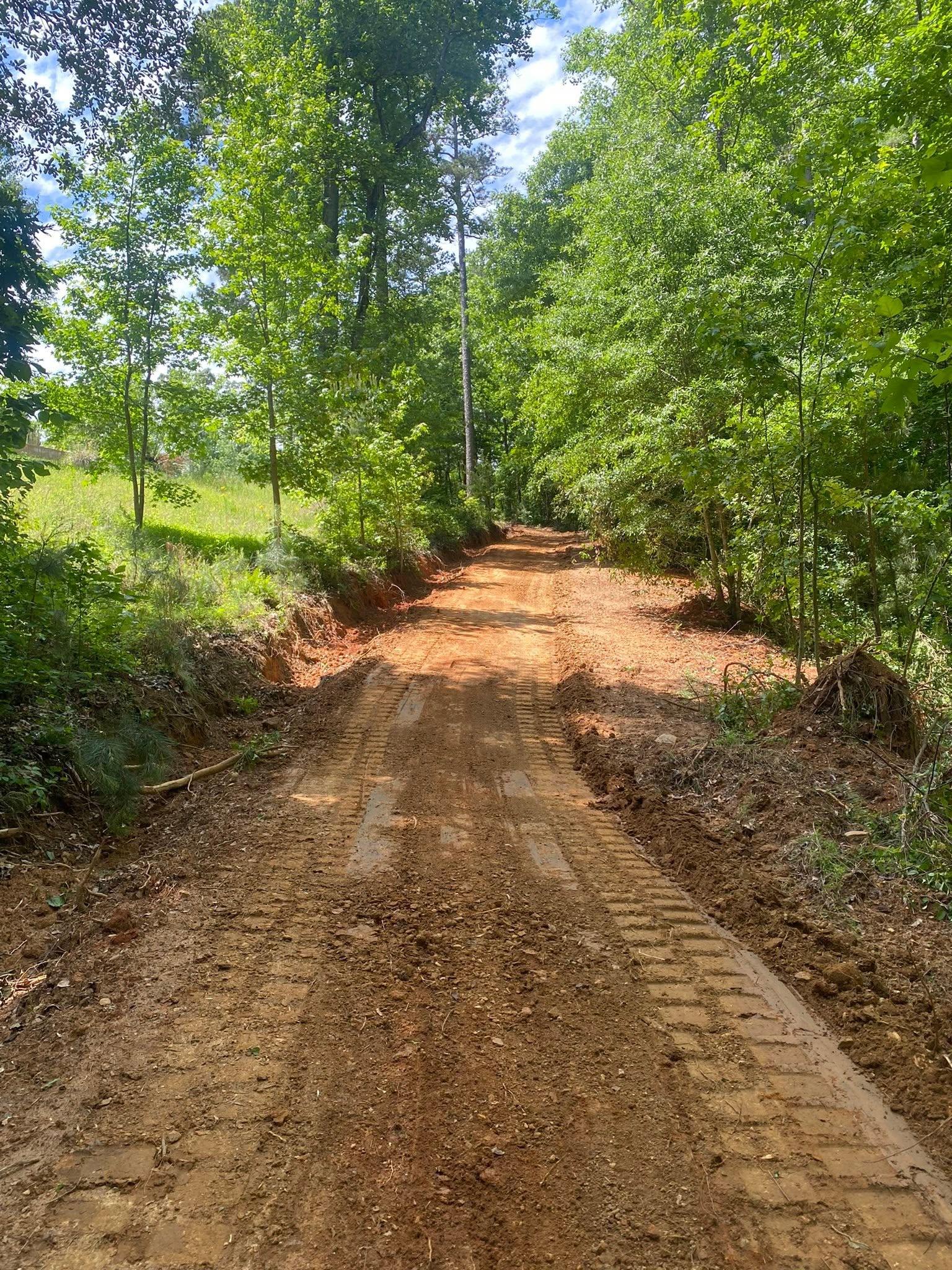
A drive here gets decided by two things that never show up on a plat: how much rock sits in the first two feet, and where the water crosses. Down on the valley floor the stone has to ride on a base deep enough that it stops pressing into damp clay under load. On the climb toward one of the gaps the surface has to shed sideways instead, because a drive that carries water rather than shedding it becomes the ditch for everything uphill of it. Gravel driveway and access work in Dade County starts with working out which of those a property is dealing with, and plenty of properties here are dealing with both. Grading and site prep then puts the building spot on ground that stands above what surrounds it, with the grade turned outward on every face.
Most of the ground around this town is outside any city limit, so a lot of what gets asked for out here is not a building at all. It is access to a hunting tract, a lane to a cabin site, an opening cut where a stand or a food plot goes, a road that has grown shut. That is recreational land work, and beside it bush hogging keeps a field from starting over and fence line clearing puts a boundary back where a person can see it.
Need ground opened around Trenton, a drive that will survive a wet winter, or a pad set on ground that sheds everything? Call or text John at (706) 936-4615, or send the details through the quote form. He drives out, walks it, and prices what he saw.