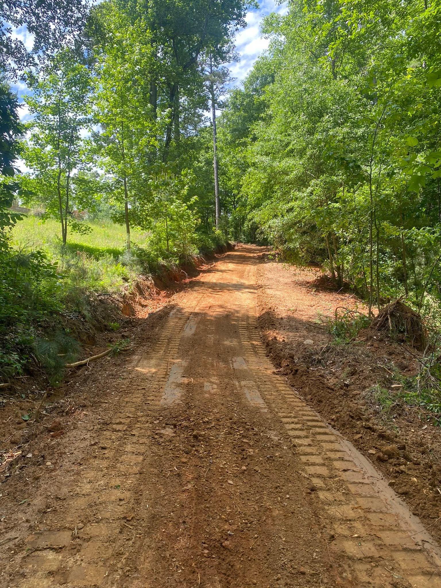
Crossville sits on the low end of Sand Mountain where State Route 68 crosses State Route 227. Route 68 alone covers close to eight miles inside the town limits. Sample elevations across the city and they run from about 1,016 feet to about 1,183, most of it near 1,110. That puts Crossville a good 245 feet under Sylvania and better than 340 under Henagar, up at the north end of the county. The 2020 count found 1,830 people in roughly 719 houses across eight and a third square miles. Legacy Land Care runs to Crossville out of Rome, Georgia, about 60 road miles. John Mulkey owns it, quotes it, and runs the machine.
Two Map Units Cover Three Quarters of This Town
Most towns have complicated dirt. Crossville does not. One map unit, Wynnville and Nauvoo fine sandy loams on two to six percent slopes, is mapped across about 41 percent of the city. Hartsells, most of it on six to ten percent slopes, takes another 33. Between them that is nearly three quarters of the city in two units, which sounds like it should make the work simple.
It does the opposite, because the big one is a mixture. That Wynnville and Nauvoo unit is roughly 55 percent Wynnville and 45 percent Nauvoo, and those two soils do not behave alike at all. Nauvoo is well drained, sits in the survey's better infiltration class, and does not hit anything restrictive for about three and a half feet. Wynnville is rated moderately well drained, carries a pan around two feet down, and lands in the survey's near worst runoff class. Both are inside one polygon on the map, side by side, in patches too small to draw separately.
The practical result is the thing people call the mystery wet spot. A field or a back yard that is dead level and drains fine over most of it will hold one soft streak that never leaves, and there is nothing on the surface to explain it. That streak is where the pan is. It does not follow the low ground and it does not follow the ditch, which is why the usual answers do not touch it. Drainage and water control on this ground means intercepting water above the soft area and giving what is already trapped a route out, rather than hauling in fill and moving the problem two feet sideways.
Three Named Streams and Half an Acre of Water
Crossville has almost no open water. Census maps about half an acre of it inside the whole city. Three named streams touch the limits and that is all of them: Chastain Creek with a bit over three miles inside town, Baker Branch with less than two, and a short piece of Scarham Creek. Thirty three ponds are mapped in the city, adding up to under 40 acres.
Fewer channels does not mean less water to manage. It means fewer places for water to go. Three subwatersheds meet inside these limits. Cross Creek takes one share, upper Scarham Creek another, and the third is the drainage carrying Mush Creek toward Big Wills Creek. The parting between them runs through town. So the outlet for a given property may be a long way off, and once a job raises how much water leaves a parcel, that extra has to travel somewhere before it finds a channel. Settling where, before the first cut, is cheaper than settling it afterward.
The bottoms are the other side of the coin. Close to eight percent of the town is mapped as Cotaco and Barbourville loams on nearly level ground, rated somewhat poorly drained, and that is a bigger share of soft bottom than Rainsville, Henagar or Sylvania carries. Those bottoms take a long time to firm up after a wet spell, and running heavy equipment across them before they do leaves marks that outlast the job.
Town Streets, Then Farm Roads
The built part of Crossville is small and it is easy to describe: Main Street, Justice Street, Clayton Street, Court Street, George Street, West Street, Gaines Street and College Street, with Lane Drive, Croft Circle and Garden Gate Circle off them. Step outside that and it turns into Union Grove Road, Oak Hill Road, Mill Creek Road, Hayes Gap Road, Phillips Road, Moore Loop and a stack of county roads. Ninety two named local roads serve the whole city, and Lathamville, a named community on the county map, sits inside the limits.
Those two halves want different work. In town it is lots: a slab or shop pad set right, a drive rebuilt, a back corner that ponds, an old outbuilding that needs to come down. That last one is demolition, and on a small lot the planning is mostly about what leaves the property and how. Out the farm roads it is acreage: land clearing on ground that has grown up, bush hogging on a field still holding grass under the brush, and lanes back to whatever is behind the tree line.
Shallow Rock Sets the Rules for Anything Below Grade
Hartsells reaches hard sandstone around three feet down, and it is the deep soil here. Roughly five percent of the town is mapped on Apison, which forms over shale and siltstone, sheds water as fast as anything the survey rates, and gives out at about three feet as well. Another six percent is the Gorgas phase of Muskingum, which meets rock closer to sixteen inches.
Anything that has to go under the ground gets planned against those numbers. Excavation for a trench or a footing is straightforward through the sandy loam and slow the moment it reaches rock, and the difference between those two shows up in a day's progress rather than in a surprise. The same reasoning applies above ground. Grading and site prep here builds a pad up with material rather than cutting one out of a hill, because on three feet of soil a deep cut spends everything the site had. A lane out a farm road follows the same logic, stone over a base deep enough to carry a loaded truck in February, and that is the job driveway and access work is doing.
Got a wet streak in a flat field, a pad to build, a lane to cut, or something old to take down? Call or text John at (706) 936-4615, or send the details through the quote form. You get the plan and the reason for it, then the price.