Heflin sits higher than any other town Legacy Land Care covers in Alabama. Elevation samples inside the city limits run from about 850 feet to about 1,060 feet, and the internal point reads close to 980. About 3,431 people live here in roughly 1,621 houses across sixteen square miles, which works out to about a hundred houses per square mile and makes this the thinnest settled of these towns by a fair margin. Interstate 20 crosses the city, US 78 runs alongside it, and State Routes 9, 46, and 4 all reach the limits. Legacy Land Care works Heflin out of Rome, Georgia. Veteran owned, owner operated, fully insured, and the man who prices the job is the man on the machine.
The Water Here Never Sees the Coosa
Nearly every town for forty miles in any direction drains to the Coosa. Heflin does not. The subwatershed the city center falls in is Henry Creek and Cane Creek, and it belongs to the Upper Tallapoosa. Cahulga Creek and the Verdin Creek and Tallapoosa River subwatershed both reach the limits as well.
Inside the city, Cane Creek carries about five and a half miles of channel, Cahulga Creek about four and a half, Town Creek close to three, and Rocky Branch a short piece. Two impoundments sit inside the limits, Cahulga Creek Lake Number 1 and Lake Heflin, and between them and the smaller water the city holds roughly a hundred acres of open surface. That is more standing water than any of the neighboring towns keep inside their lines, and none of it is river. It is all held back on purpose, which matters when you are looking at a property downstream of one of them.
Two Thirds of Heflin Is One Map Unit
Sample the soil map across this city and the same answer keeps coming back: the Tatum and Fruithurst association, hilly, on 6 to 15 percent slopes. It turned up on close to two thirds of the points tested inside the limits. Add the Tatum and Fruithurst complex on 6 to 10 percent slopes and the Tatum, Tallapoosa, and Fruithurst association, steep, on slopes running to 45 percent, and nearly the whole city is Tatum and Fruithurst on a hill. The Riverview, State, and Sylacauga complex covers the flat bottoms and that is essentially the rest of it.
Nowhere else around here reads like that. Most towns have half a dozen soils fighting each other block by block. Heflin has one, at one basic slope range, over and over. It makes the work more predictable than it is in the valley towns. It also means a mistake made here is a mistake that repeats across the whole property instead of stopping at the next map line.
Schist and Phyllite, Not Limestone
The rock under Heflin is a different family altogether. Tatum forms in schist. Fruithurst forms in phyllite. Tallapoosa forms in slate. There is no limestone under this town and no chert worth talking about, which sets it apart from the valley towns north of here, where cherty limestone soils run everything.
The practical difference is how the rock quits. Under Heflin the survey records paralithic bedrock, not lithic: Tallapoosa at about fifteen inches, Fruithurst at about thirty, Tatum at about fifty. Paralithic means weathered, and weathered rock in this country means saprolite, the soft, crumbly, mica flecked material a parent rock turns into before it becomes soil. Saprolite digs like stiff dirt and then acts like rock. It will not hold a steep cut face once it is wet, it gets slick enough to be genuinely dangerous underfoot on a grade, and it moves in sheets rather than washing away grain by grain. Anybody planning excavation and dirt work here needs that in the plan, because a face that stood up fine on Tuesday can be sitting at the bottom of the cut on Friday.
One other thing the survey shows: there is not a single fragipan recorded under this city. The dense buried layers that make valley yards hold water are simply not part of the picture here. Water in Heflin is a slope problem, not a lid problem.
Rain Comes Heavy, and It Comes in Summer
The Heflin weather station's 1991 to 2020 normals put the year at 57.41 inches. February runs 5.85 inches and March 5.60, which is normal enough for this part of the country. July runs 5.39, and that is not normal. Most stations around here drop well under five inches in midsummer. Heflin does not.
That single figure changes how a job gets sequenced. On 6 to 15 percent slopes with saprolite underneath, the risk is not the winter rain everybody plans for. It is a hard summer storm landing on ground that got opened up in June and has nothing holding it yet. Forestry mulching answers that directly, because grinding standing growth into a layer of chips leaves the surface armored and the root network intact from the first day. Where a house, shop, or barn is actually going, land clearing down to bare dirt with the stumps out is the correct move, and the way to do it here is to hold that footprint to exactly what the building needs and leave everything around it under cover.
Long Drives and Back Tracts
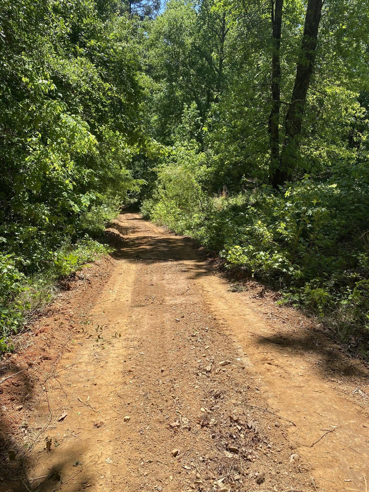
Roads out of town read like the property does: Old Edwardsville Road, Bells Mill Road, Tumblin Mill Road, Chapel Hill Road, Boozer Road, Kitchens Road. A hundred houses to the square mile means driveways measured in hundreds of yards, not feet, and it means plenty of ground sitting behind other ground with no way in.
A long approach on 6 to 15 percent slope has to be built to move water first and carry a truck second. It wants crown so rain sheds off the shoulders, turnouts spaced so no stretch builds up a head, and a ditch and pipe wherever the grade demands it. Built without those, the first summer storm turns the whole run into a channel and takes the base with it. That is what driveway and access work is for on this terrain. On hunting and family tracts, the same thinking covers interior lanes, food plot openings, and shooting lanes opened up without churning the timber into a mud hole, which is recreational land work.
Forest Ground Comes to the City Line
National forest land on the Shoal Creek Ranger District reaches inside the Heflin city limits. For a property owner that mostly means neighbors that never change, boundaries worth being certain about, and a wood line that keeps pushing back onto anything you have opened up. Ground here does not stay open by itself. Whatever gets cleared needs a plan for keeping it that way, and the cheapest version of that plan is maintaining an edge on a schedule rather than starting over in five years.
Have hill acreage that has gotten away from you, a long drive that keeps washing, or a back tract with no road into it? Call or text John at (706) 936-4615, or drop the details in the quote form. Bring boots. Ground like this has to be walked to be understood.