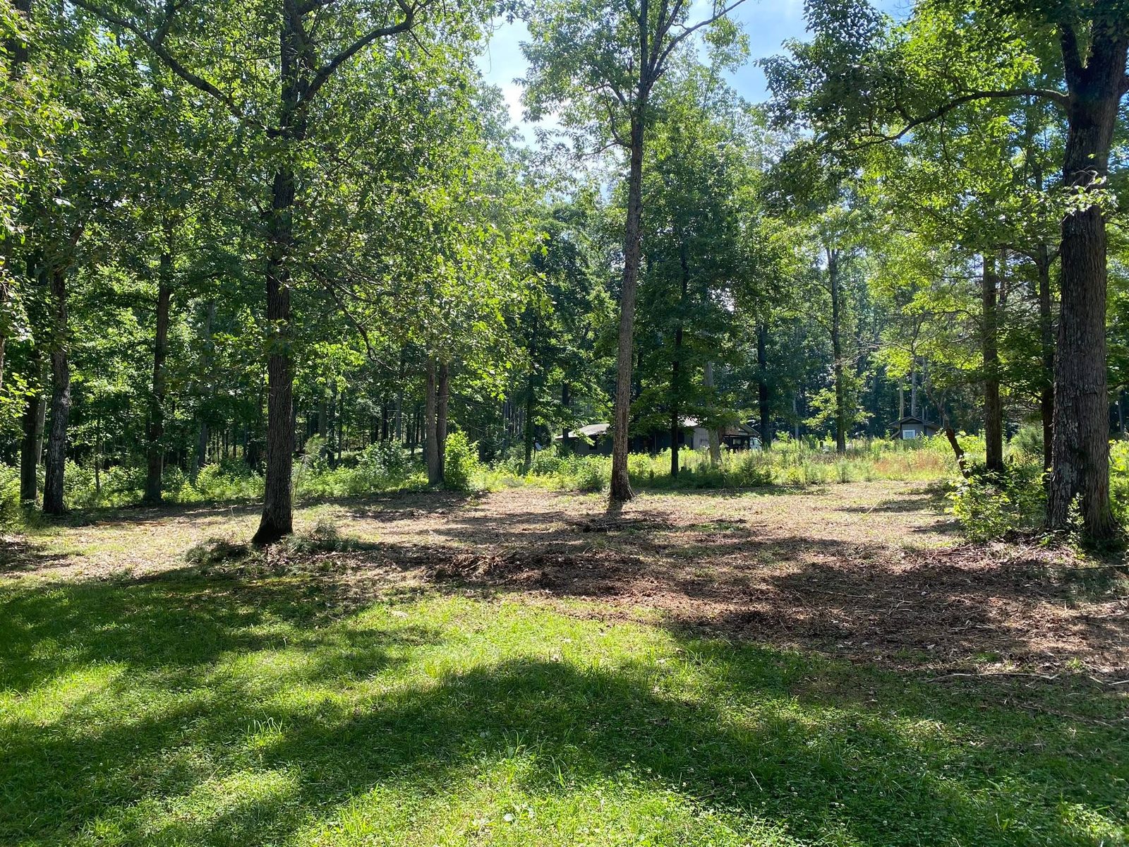
Summerville is the seat of Chattooga County and the one place in it where four highways come together. US 27 runs the length of town, called Rome Boulevard coming in and Commerce Street through the middle of it. State Routes 48, 100, and 114 all reach the city limits, and Lyerly Highway carries two of them out the west side. About 4,435 people live here on a little over four square miles, in roughly 2,111 houses. Property splits two ways in a town shaped like that: platted lots on the streets off Commerce, and acreage on the edges where the grid quits. Legacy Land Care handles both, working up from Rome about 23 miles south on that same US 27. John Mulkey owns the company, runs the machine, and answers the phone.
In Town, the Ground Is Already Covered
The soil survey maps the blocks around Commerce Street as a Conasauga and urban land complex on 2 to 10 percent slopes. Conasauga is shale soil in hydrologic group D, the highest runoff class the survey has and the lowest for taking water in. Urban land is the other half of that same map unit, and it is the survey's way of saying the surface is already spoken for: roof, drive, slab, sidewalk. Put those two facts together and rain landing on a Summerville lot has almost nowhere to go except across the top, downhill, into whatever sits lowest.
So a wet corner in a back yard here is usually not a spring and usually not a broken line. It is the yard receiving what the roof, the driveway, and the lot uphill all handed it, on dirt that was never going to soak it up. The fix is a route, not a fill. Cutting a shallow swale where there is room for one, running a buried line to daylight where there is not, and making sure the low point has an outlet instead of behaving like a basin is what drainage and water control means on a town lot. Hauling in dirt to raise the wet spot only moves it to the next lowest thing, and on a platted block the next lowest thing usually belongs to somebody else.
The North Edge and the South Edge Are Opposite Jobs
Leave the grid and the ground stops agreeing with itself. Out the north side the survey maps Fullerton gravelly silty clay loam on 10 to 25 percent slopes, eroded. That is chert-heavy soil sitting on real fall, thinned once already by water that came through long before anybody built anything on it. Strip the cover off a slope like that and it will start moving. Down the south side the map flips completely: Roanoke silt loam, poorly drained, on 0 to 2 percent slopes. Nothing down there has enough fall to shed anything.
Two edges of one small town, two opposite problems, and they call for different tools. On the steep north ground forestry mulching is usually the better answer, because grinding growth where it stands leaves the chips and the root mat holding the hill instead of scraping both off and handing the slope to the next storm. On the flat south ground a blade can earn its keep, and land clearing that pulls stumps and root balls makes sense there, provided somebody has already settled where the water goes once the field is bare.
The Town Drains Through Its Own Creek
The subwatershed Summerville sits in is named for the creek that runs through it: Town Branch, feeding the Chattooga River. Town Branch covers a bit over two miles inside the city limits, and the river runs past the west side of town. What the city does not have is anywhere to park water. Mapped standing water inside the Summerville limits comes to zero. No lake, no pond, no impoundment to take the edge off a hard rain. Everything that falls on this town leaves this town, through channels that are already carrying what came off the higher ground above it.
That matters most at the moment you change a property. Clearing an acre, pouring a slab, or laying a new drive all raise both the volume and the speed of what leaves your ground, and on a lot that already sheds, the difference lands on whatever is downhill. Settling the outlet before the first cut costs less than solving it afterward.
Drives and Pads Once You Are Off the Highway
Frontage on Commerce Street or Rome Boulevard is one kind of property. The parcels behind them, out State Route 48 or off Lyerly Highway, are where an approach gets long enough to need real thought. A drive out there is a piece of drainage work that happens to carry a truck: crowned so water leaves the surface sideways, ditched on the uphill shoulder, and broken up with turnouts so no single stretch ever gathers enough to start cutting. That is what gravel driveway and access work is for. Where a shop, a barn, or a house is going up behind town, grading and site prep sets the pad high and shapes fall away from it on all four sides, and excavation and dirt work moves whatever has to move to get there.
Have a lot in town that has gotten away from you, or ground on the edge of Summerville that needs clearing, grading, or a drive rebuilt? Call or text John at (706) 936-4615, or send the details through the quote form. He looks at the property before he prices it.