Trion is laid out flat on the floor of the Chattooga River valley, in a grid, and the grid explains most of what property here needs. First Street through Eleventh, plus Allgood, Simmons, Pine, Park, and Emory: short blocks of small lots running up to the mill on Fourth Street. About 1,960 people live inside the town limits in roughly 831 houses. US 27 is the only highway that touches the place, and Old US Highway 27 still runs through the village on the alignment it replaced. Legacy Land Care covers Trion out of Rome, about 29 miles south. Veteran owned, owner operated, fully insured, and the man who quotes the job is the man who runs the machine.
The Village Blocks Sit on Soil That Cannot Drain
The soil survey maps the core of Trion as a poorly drained soil on 0 to 2 percent slopes carrying a fragipan. A fragipan is a dense, brittle layer a couple of feet down that water crosses very slowly. Rain soaks in a short way, reaches the pan, and stops there. With no slope to carry it off the top and no depth to take it down, it perches and waits. Move toward the middle of town and the map changes to Chewacla silt loam on 0 to 2 percent slopes, frequently flooded, which is the survey stating plainly that this is river bottom.
None of that is a defect in one particular lot. It is what the valley floor is made of, and it is why a yard here can stay soft two weeks after the weather cleared. It also sets the order of operations on nearly every job in town. Water first, dirt second. Grading a wet lot before the water has an outlet prints the same problem into a new shape, because saturated ground does not compact, it shoves. Working out where the water is supposed to go is what drainage and water control is, and on this ground it comes before everything else instead of after.
Three Named Streams and a River Inside Four Square Miles
The town limits take in a little over four square miles and hold about three miles of the Chattooga River, about a mile of Spring Branch, and close to a mile each of Cane Creek and Chappel Creek, plus two mapped ponds. That works out to about eight acres of open water on the map. Summerville, five miles down the road and the same size on paper, has none at all. Trion's subwatershed is named for Chappel Creek and the Chattooga, which is a fair description of what is happening underfoot.
Sitting inside that much moving water changes how a lot behaves. Ground near a channel does not only take its own rain, it answers to the creek. When the creek comes up, the water table under the nearby blocks comes up with it, so a yard that drains fine in September will not in February. That is worth understanding before anybody spends money regrading a low corner, because sometimes the low corner is behaving exactly as the valley intends and the money belongs somewhere with a better return.
Short Drives on Flat Ground Fail From Underneath
A drive on a village lot here is thirty or forty feet, not a quarter mile, so the hill-country answers do not apply. There is no long run to crown, no uphill shoulder worth ditching, and nowhere to put a turnout. The failure mode is different too. The surface does not wash away. The base sinks. Stone laid straight onto soil that stays saturated presses down into it under every load, and each wet season takes a little more of it out of sight. Another load of rock on top buys a few months and then the same thing happens again.
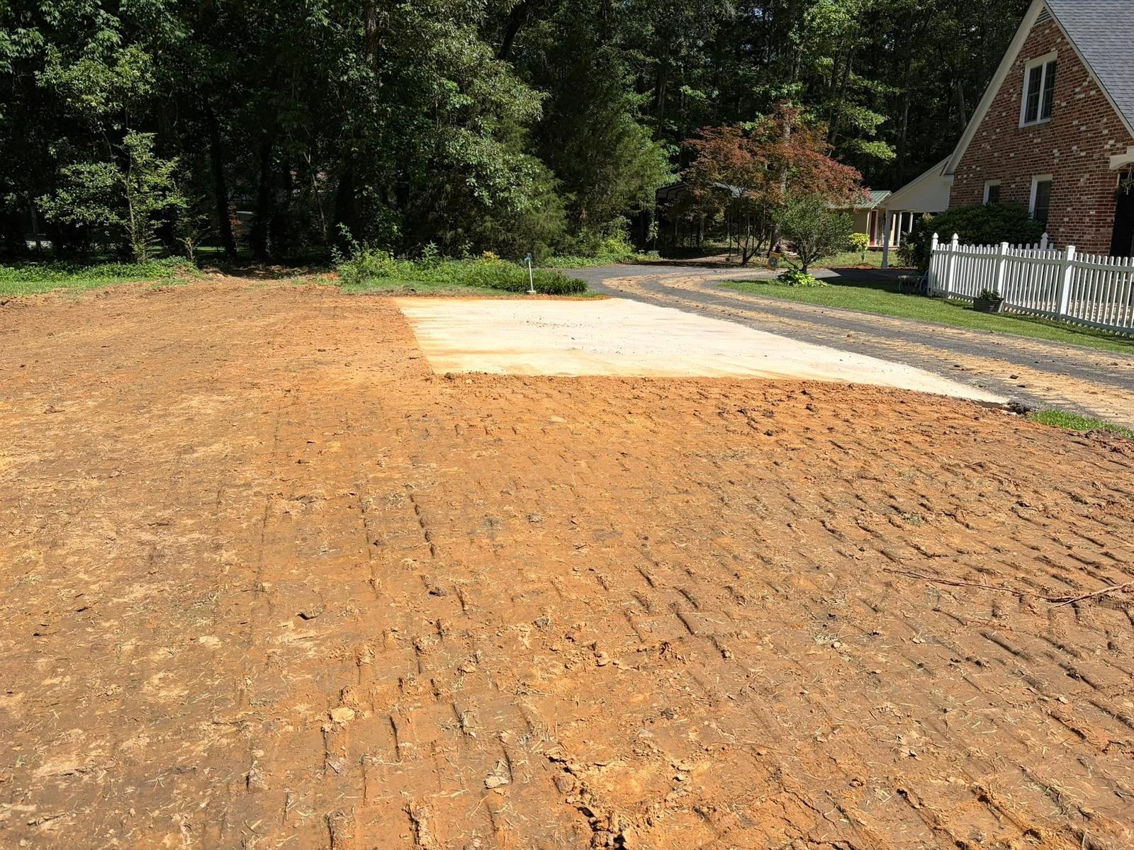
What holds on ground like this is depth and separation below the surface: excavating enough to build a base that carries a load, keeping the stone from working down into the wet soil beneath it, and giving the edge somewhere to shed even if that is only a few inches of fall to an inlet. That is gravel driveway and access work built for flat, wet ground rather than for a hillside. Same reasoning covers a parking area behind a house or a pad for a shop, which is where grading and site prep and excavation and dirt work come in.
Three Directions Out of Town, Three Different Soils
Get off the grid and the ground changes inside a mile. North, toward Dry Valley, the survey maps Rome fine sandy loam on 2 to 6 percent slopes, well drained, which is the friendliest dirt anywhere near town and the easiest place to put a building. East, running toward the foot of Taylor Ridge, it turns to Cunningham silty clay loam on 6 to 15 percent slopes, eroded, back in the high runoff class. South along Chappel Creek it is Toccoa fine sandy loam, sandy bottom soil that takes water in about as fast as anything in the county but lies low enough to answer to the creek.
So acreage outside the village is not one job either. A homesite going in north of town and a pasture edge being pushed back east of town want different plans, and the choice between land clearing and forestry mulching comes down to what the slope and the soil in that direction can stand.
Have a lot inside the grid with water standing on it, a drive that keeps sinking, or ground outside town that needs opening back up? Call or text John at (706) 936-4615, or send the details through the quote form. He walks it before he prices it.