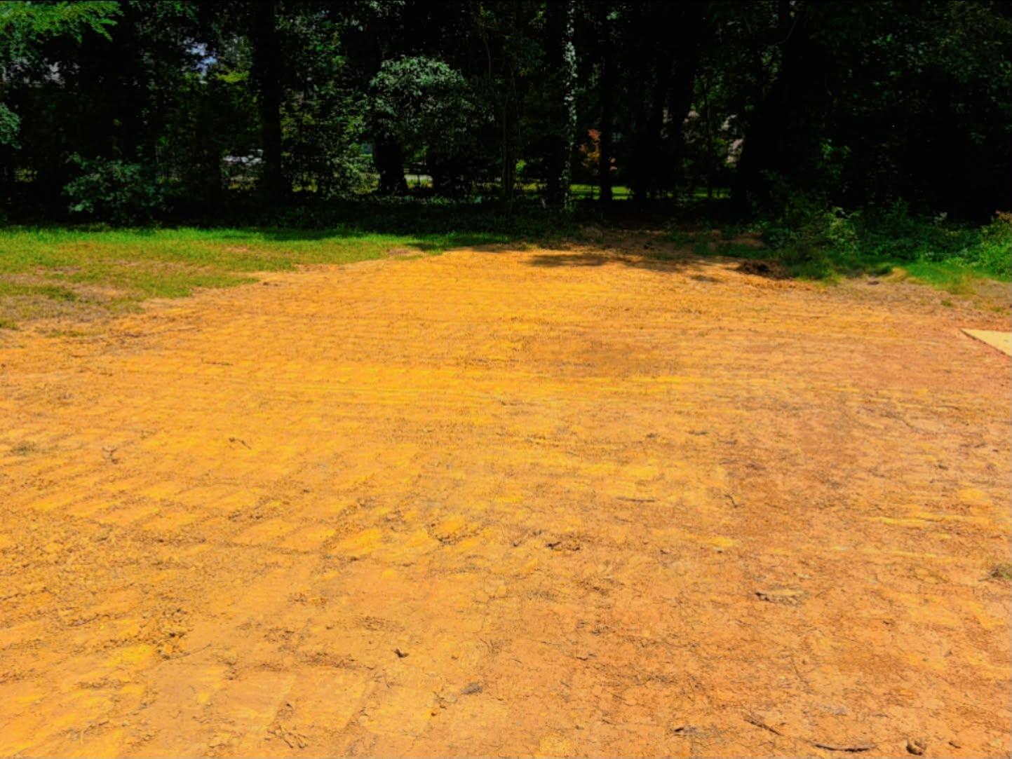
Fair Oaks never incorporated. The Census carries it as a Census Designated Place, a label applied to settled ground that runs without a municipal government of its own, and it takes in about 1.9 square miles of Cobb County between Marietta and Smyrna. Roll up the 2020 census blocks inside that boundary and you get roughly 8,900 people in about 3,500 housing units, around 1,800 units to the square mile in a pocket smaller than a lot of single subdivisions. Legacy Land Care runs down from Rome to work it. The work here is water, old grade, and old concrete. John Mulkey answers the phone and does the work.
The Oldest Housing in This Corner of the County
Fair Oaks has a median build year of 1970, older than Marietta, Smyrna, Mableton, Austell, or Vinings. About half of everything here predates 1970 outright and close to 65 percent predates 1980. Roughly 2 percent has been built since 2010, which is the lowest rate of new construction of any place on this side of Cobb.
An older, finished neighborhood produces a very specific list of dirt jobs. Original grades have settled unevenly for fifty years. Beds and borders have been built up against foundations one wheelbarrow at a time. Drives poured or laid decades ago have heaved and cracked. Sheds have rotted off their slabs and the slabs are still there. Additions and patios went on at different times and rarely at the same elevation. None of that is a defect in any single property. It is what half a century does to ground, and it is exactly what a machine is for.
A Drainage Divide Runs Through Two Square Miles
Fair Oaks gets split almost exactly in half by a ridge. Lay a grid over it and about 51 percent drains into the Olley Creek subwatershed while about 47 percent goes to Nickajack Creek. Two named streams touch it: roughly 1.3 miles of Olley Creek and a short piece of Nickajack.
The consequence is easy to miss and worth knowing. Two houses on opposite sides of the same street here can send their water to different creeks, which means the downhill direction on your lot may have nothing to do with the downhill direction on the lot behind you. When somebody says the water in this neighborhood always goes that way, they are describing their half of it. Working out which side of the divide a property sits on is the first move in any drainage and water control job here, and it takes a walk and a level, not a guess from the street.
The Survey Stopped Calling It Soil
Here is the fact that defines dirt work in Fair Oaks. Clip the soil survey to the CDP and it covers about 1,240 acres. Roughly 1,060 of those acres, about 85 percent, land in map units that lead with the words urban land: an urban land and Cecil complex covering about 500 acres across slopes of 2 to 10 percent, urban land with Pacolet soils holding about 245 acres in the 10 to 25 percent range, an urban land and Appling complex at about 150, an urban land and Madison complex at about 140, plus a small piece named urban land and borrow pits. No other town or CDP in this corner of Cobb County carries an urban land share anywhere near that, and it is not close.
Urban land is how the survey records a surface that has been claimed: roof, drive, slab, walk, pavement. Rain arriving on a Fair Oaks lot gets very little opportunity to enter the ground while crossing it. It travels along the top, downhill, toward whatever is lowest. So a wet corner in a Fair Oaks back yard is rarely a spring and rarely a failed line. It is that corner taking delivery of what the roof, the drive, and the ground above sent down to it, faster than any dirt could have absorbed it.
That is why the buried line has a real role here. A french drain earns its keep when water is already in the ground and needs a route out. On these lots the more common variant is a shallow interception line or a graded surface route across the upper part of the property, catching flow before it spreads across the lawn. Whichever version fits, the discharge point decides whether it works, and on a lot this size that has to be settled before anything opens.
High Ground With Very Little Fall
Fair Oaks sits high. Take elevation readings across it and they range from about 1,000 feet to about 1,130, with a middle around 1,075, which is higher on average than any of the neighboring towns. It is also the tamest ground of the group, with only about 130 feet of range from end to end.
High and flat is a comfortable place to live and an awkward place to drain. There is no creek bottom nearby to fall into and not much slope to work with, so the fall a lot does have gets used carefully rather than casually. Yard leveling here is mostly the removal of dips that hold water and ridges that dam it, done to a plan that keeps every inch of available slope pointed the same direction. Filling a low spot without providing an exit only moves the puddle a few feet, and on a lot this size the next lowest thing frequently belongs to somebody else.
Old Slabs, Old Drives, and Lines to New Places
With housing this age, subtraction work is constant: a shed rotted off its slab, a patio broken into pieces, a pad from a carport that is long gone, a set of steps to a door that no longer exists. Slab and shed demolition gets it off the property, and the dirt underneath gets shaped afterward, because an old footprint left as a bowl becomes the wettest square in the yard.
Drives on fifty year old lots are short and usually failing at the base rather than the surface. Driveway and access work means rebuilding what is under it and giving the edge somewhere to shed.
One last point about being unincorporated. Fair Oaks has no city government, so nobody is coming to look at your grade or your drive. Both belong to the property. Yard holding water, drive gone soft, or a slab you want off the lot? That is a call to (706) 936-4615. There is also a quote form if you would rather send photos than talk. Veteran owned, insured, and the price covers the whole job.