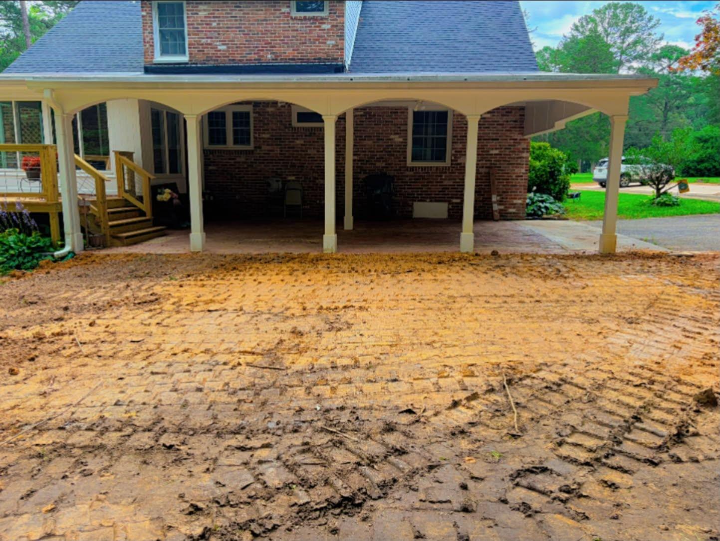
Mableton is the largest city in Cobb County by land area, about 36.3 square miles of south Cobb, and it is also the newest one on the rolls. The federal names database lists the City of Mableton and, right beside it, the old Mableton Census Designated Place marked historical, which is a tidy way of saying the name on the map changed while the ground under it did not. Add up the 2020 census blocks falling inside those limits and you get roughly 76,500 people in about 30,600 housing units. Legacy Land Care comes down from Rome for what these properties need, which is drainage, regrading, driveway work, and taking old structures off the back of a lot. John Mulkey owns the outfit and runs the equipment.
One Basin, Six Subwatersheds, Three Directions
Every square foot of Mableton drains to the same place eventually, the Middle Chattahoochee, but it gets there six different ways. Sample it on a grid and about 38 percent of the city sits in the Nickajack Creek subwatershed, about 34 percent in Lower Sweetwater Creek, about 18 percent runs straight at the river through Wilson Creek, and about 10 percent goes by way of Olley Creek.
The named channels back that up. Nickajack Creek carries about five and a half miles inside the city and reaches its mouth here, at the Chattahoochee. Buttermilk Creek runs about three and a half miles, Olley Creek about a mile and three quarters, and the Chattahoochee itself borders the city for a little under a mile. So a Mableton address is not one water story. It is three or four, and the one that applies to your lot depends on which side of a ridge the house was built on.
Thirteen Named Lakes, and What They Tell You
Something unusual shows up when you pull the federal names database for the Mableton limits: thirteen named reservoirs inside one city, among them Castle Lake, Daniell Lake, Goodwin Lake, Hicks Lake, Jetts Lake, Kings Lake, Queens Lake, Lake Starling, Seybert Lake, and Summerlin Lake. Alongside them sit roughly forty named residential places, from Gordon Heights and Gordon Woods to Blackhawk Hills, Castlewood Estates, Cherokee Hills, Hembree Hills, and Knox Springs Estates, plus older names like Turner Ferry and Nickajack that predate all of it.
Two practical readings come out of that. First, this ground has been carrying water in impounded low spots for a long time, which means the drainage ways here are old, established, and mostly already spoken for. Second, Mableton is a city assembled out of separately built subdivisions rather than one plan. Each was graded to the standards of its own decade, and where two of them meet along a back fence line, the grades frequently do not agree. A surprising share of wet corners in this city sit exactly on that seam.
Half the City Is One Soil, and the Other Half Is Not
Clipped to the city limits, the soil survey covers roughly 23,000 acres and about half of it is Madison, spread across seven map units. The biggest of them pairs Madison with Pacolet on slopes of 15 to 25 percent, roughly 2,375 acres, followed by a gentler version of the same pairing, severely eroded, at about 1,760. After that come Madison sandy loam and Madison clay loam units running from 2 percent slopes on up.
The rest is where a job gets interesting. About 1,900 acres are Louisa, roughly 985 of it on 10 to 25 percent slopes and 915 on 25 to 60 percent, and Louisa is shallow ground that meets weathered rock well before Madison does. Another 766 acres fall in a unit the survey simply calls urban land and borrow pits, the largest such acreage among the towns on this side of the county. Somebody hauled dirt off that ground before the neighborhoods went up. And about 1,700 acres are bottom, roughly 918 acres of Toccoa rated occasionally flooded and 788 acres of Cartecay rated frequently flooded.
Elevation matches that spread. Sampled across the city the ground runs from about 730 feet near the river up to about 1,150, better than 400 feet of range, the widest of any city in this corner of Cobb. A dig on the high ground and a dig near Nickajack Creek are not the same job and should not be priced as though they were.
Where the Water Work Actually Lands
On a Mableton lot, drainage and water control starts with one question: is the water arriving, sitting, or being delivered? Arriving means it crosses onto your ground from the grade above, and it has to be caught before it reaches the house. Sitting means a low area with no exit, which wants a line that lets go somewhere genuinely lower. Delivered means roof water landing at the wall, which wants piping out beyond the reshaped ground. The step that gets skipped is the discharge end, and on a property backing up to an old impoundment or an established channel, working out where the pipe is allowed to finish is most of the design.
Yard leveling handles the surface version of the same problem: dips that hold water, ridges left from old spoil, a patio sitting in a shallow bowl. Where a shop pad, a garage, or a parking area is going in behind a house, that is dirt work and excavation, and a pad built on clay that was rolled while it was soft will settle out of level within a couple of seasons.
Long Drives, Old Slabs, and Getting a Machine Back There
Mableton lots run larger than the ones closer in, and the drives run longer with them. A long drive on 15 percent ground is a channel unless it is built not to be: pitched to shed sideways, interrupted often enough that no one length of it gathers real volume, and given an outlet that is not the garage. Building it that way is what driveway and access work covers. Where an old shed, slab, or pool deck has to come off the property first, slab and outbuilding demolition clears it and the grade gets restored behind it, because an old slab footprint left open becomes a pond by January.
Veterans Memorial Parkway crosses the city for about twelve miles, Mableton Parkway and Gordon Road for another seven and a half, and I-20 clips the south end, so a trailer gets close to any address here. It is the final stretch from the street to the back of the lot that gets planned at the walk through.
If a Mableton property is holding water, sliding, or carrying something that needs to come down, the number is (706) 936-4615 and it rings John directly. There is a quote form too if typing beats talking. Veteran owned, insured, one machine, one price.