Milton and Roswell sit in the same county, share a soil survey, and read nothing alike on the map. Sample the ground inside Roswell and about 47 percent of the points fall in a map unit that names urban land. Do the same across Milton's 38.6 square miles and that figure drops to roughly 5 percent. Nearly all of this city maps as plain soil with no urban component recorded on it at all, which is the clearest evidence there is that Milton stayed on large lots while everything south of it filled in. It is also why acreage work makes sense here in a way it does not most places inside the perimeter of metro Atlanta.
Rion on the Grade, Cecil Under the Rest
Two soils carry the city. Rion sandy loam covers about 26 percent of it, mapped mostly on 10 to 15 and 15 to 25 percent slopes, and Cecil sandy loam another 29 percent on gentler ground from 2 to 10 percent. Both are well drained and both fall in a low runoff class, so the dirt out here is willing to take water in when it is given a reason to. Grover and Mountain Park stony complexes account for about 12 percent on the steeper ground, and Pacolet adds more grade on top of that. Roughly 15 percent of the city is mapped above the 15 percent slope class, across a range running from about 935 to 1,191 feet.
The sum of that is deep red clay on rolling ground. Cecil is agreeable material right up until it has been stripped and worked in the rain. Once the surface of it has been compacted by tires and tracks it stops taking water at all, and any grade at all becomes a skating rink for a week after a storm. None of that argues against working it. It argues for working it dry, building fill in lifts thin enough to actually bond, and putting cover back over bare ground before the job is called finished.
Eleven Named Reservoirs, Ten With a Family Name On Them
Eleven named reservoirs sit inside the Milton city limits, and ten of them carry a surname: Bartenfeld, Bell, Copeland, Eads, King, Sargent, Seagraves, Starnes, Tharp and Vinson. That is a naming pattern that comes from farms rather than from developments, and it is a small thing that tells you a lot about how this ground has been held.
Ponds are their own category of work and they age in predictable ways. Sediment fills the upper end where the feeder comes in until the useful depth is at the wrong end. A dam grows trees, and roots in an embankment are a genuine problem. Spillways cut back on themselves. Cattle or equipment access breaks down the edge until the bank is a slope of mud. Excavation and dirt work covers pond and basin work along with footings, fill, spoil and the general moving of material that a property this size generates.
Chicken Creek and Copper Sandy
Chicken Creek runs better than eight miles inside these city limits and gives the subwatershed here its name. Copper Sandy Creek adds close to seven, the Little River about six along the northern side, and Camp Creek comes in behind them. Along all of that, Cartecay and Toccoa bottoms are mapped on 0 to 2 percent slopes with an occasionally flooded rating, plus a Wehadkee bottom in places.
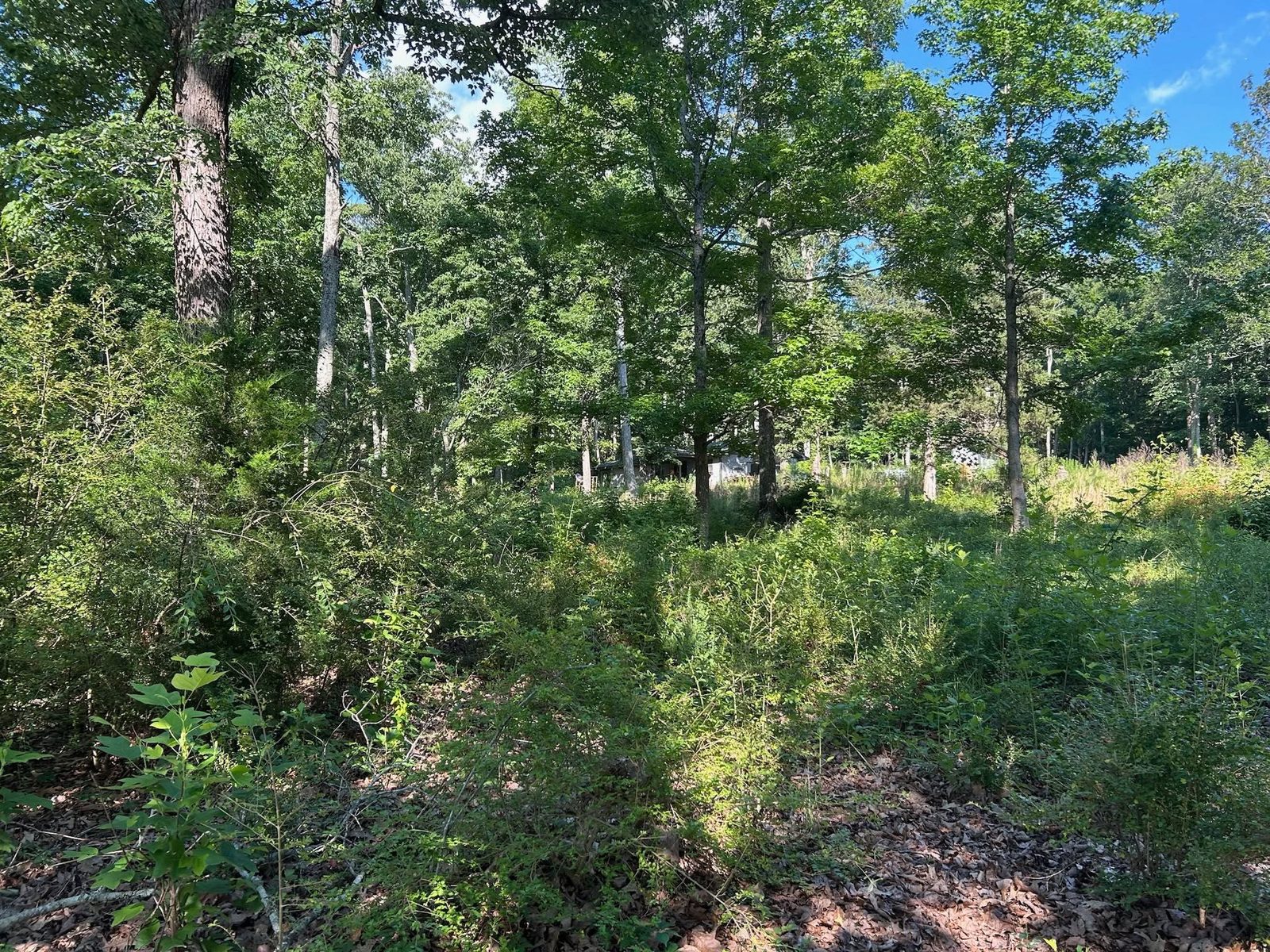
On a five acre or ten acre lot that usually means the property holds two entirely different pieces of ground. There is upland with real fall to it, where the questions are speed and cover, and there is bottom with no fall at all, where the questions are outlets and timing. Treating a place like that as one job is the standard mistake. The upland wants water intercepted before it concentrates. The bottom wants an honest look at whether there is anywhere lower for water to reach, and equipment kept off it outside of late summer and early fall, because loaded machines on saturated bottom soil displace it rather than compact it.
Where the Mown Part Stops
On a lot of five or ten acres there is a line somewhere between what gets mown and what does not, and the work on either side of it is different enough to be planned separately.
Above that line, drainage and water control is about interception. Water arriving from the high ground gets caught while it is still spread out, before it has picked a channel, and what is piped gets real fall and a release point chosen so the next property down is not inheriting the problem. Grading and site prep cuts the flat spots this kind of property collects: a hay barn, an equipment shed, a workshop, a gravel parking area, a level pad behind the house. Each one is a surface that will stop absorbing rain the day it goes in, so the runoff plan gets decided while the ground is still open.
Below that line the work changes character. A pasture that has gone a season or two without attention comes back under a rotary cutter, which is bush hogging, and once the growth has hardened past what a cutter should be shearing it becomes a grinding job instead. Fence line clearing matters more on a place with board fence than most owners expect, because growth leaning on rails works them loose, shade at the base of a post is what rots it, and a run buried in brush cannot be judged from the truck.
Drives here run long and cross grade, which makes them small roads rather than aprons. Driveway and access work means crown so water leaves the surface within a few feet, a shoulder that drains, turnouts spaced so no stretch collects a damaging volume, pipe set where water already crosses, and a base compacted properly, because compacted clay carries load and loose clay pumps under every trip.
State Route 9, Arnold Mill Road, Birmingham Highway and Crabapple Road carry most of the traffic, and past them it is the roads out through Hopewell, Fields Crossroads and Webb. Large lot, long drive, or a pond that has silted in at the top end? Call John at (706) 936-4615, or start with the quote form. He gives a straight answer about what the job needs and what it does not.