About eleven miles of the Chattahoochee River runs inside the Roswell city limits. The city covers roughly 40.7 square miles and the 2020 blocks counted 92,833 people and 38,032 houses on it, with something like 1,626 named local streets threaded between them. That is a fully built city with a river cut through the bottom of it, and the combination sets what property here actually needs. This is not clearing country. It is water, grade and access.
Nearly Half of Roswell Is Mapped With Urban Land in the Name
Sample the soil map across the city limits and about 47 percent of the points land in a unit whose name includes Urban land. The biggest single one is an Urban land, Madison and Bethlehem complex on 2 to 10 percent slopes. Others pair urban land with Grover and Mountain Park, with Cecil, with Rion, and one is simply Urban land on its own.
Urban land is how the survey records ground that is no longer capable of taking a raindrop, because a roof, a slab, a drive or a sidewalk is sitting on it. When nearly half the map units across a city carry that component, the drainage picture explains itself. There is less surface here able to absorb a storm and more surface obliged to pass it along, and what does get passed along moves faster than it did before any of it was built.
A wet back yard in this city is therefore seldom a spring and seldom a failed pipe. It is a collection point for everything the surrounding hard surfaces declined to absorb. Fill will not solve that, because the water simply promotes the next low spot, and on lots this close together the next low spot frequently sits on the other side of a fence. Tracing where the volume originates and identifying a place it can legitimately be released is the opening work on any drainage and water control job here.
A Third of It Is Stony Complex on Real Grade
The other third of Roswell is the part people underestimate. Grover and Mountain Park complexes, both carrying a stony designation, cover roughly 33 percent of the ground here on slopes of 10 to 20, 10 to 25 and 20 to 60 percent. Mountain Park reaches weathered rock about thirty two inches down and sits a runoff class above the easier soils around it, so the steep third of this city is also the third that sheds hardest and digs slowest.
Between the river at roughly 852 feet and the high ground near 1,187, this city carries about 335 feet of fall. Combine that relief with stony complexes and heavy surface cover and you get the two failure modes that dominate here: water moving fast where there is grade, and water going nowhere where there is not. Interestingly, not one severely eroded phase turns up anywhere in the sample. The ground here is not worn out. It is covered and it is steep, which is a different problem.
Foe Killer, Hog Wallow and Seven Branch
Below the river, the named drainage inside these limits is dense. Big Creek carries close to six miles of channel through the east side, and the subwatershed is named for its lower reach. Foe Killer Creek, Hog Wallow Creek, Seven Branch, Rocky Creek and a short piece of the Little River all run inside the city. Willeo Creek marks the Cobb County line on the southwest side, where the city's single sliver of Cobb holds no houses at all.
The reason that matters to a homeowner is outlets. A drainage plan is only as good as the place it ends, and in a city with this many channels there is usually a real outlet within reach on most properties. Finding it, and getting fall to it without crossing three neighbors, is the design problem. The other side of the same coin is that a lot sitting on the flood plain soils along those creeks has no fall left in it at all, and that ground needs an outlet cut and honest expectations rather than a load of dirt.
What a Roswell Lot Actually Needs
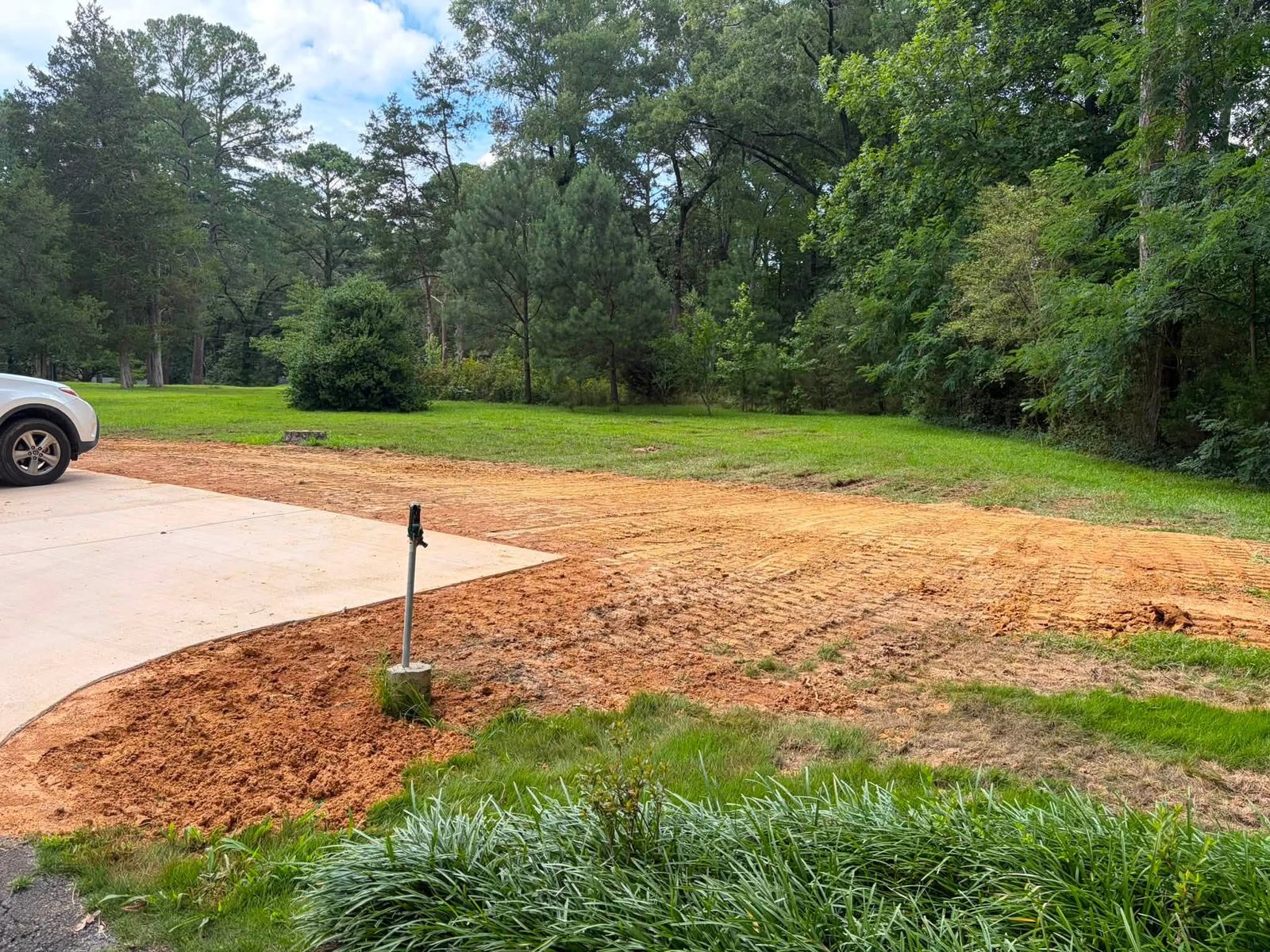
Yard leveling is the request that comes by name. A lawn that scalps on one hump and drowns in the dip beside it. Ground that has slumped along an old line trench. A bare strip where water crosses the same path every storm. Fill that was spread once by a builder and never actually shaped. On a sloped lot with mature planting around it that is careful machine work, and the target is a surface water can keep moving across rather than one that merely looks flatter from the deck.
Grading and site prep covers the flat spots: a workshop slab, a detached garage, a pool surround, a leveled terrace behind the house. Each of those converts absorbing ground into shedding ground, which means the runoff question has to be answered while the site is still open rather than after the concrete is placed. On the stony complexes there is a second question, which is how deep the cut can realistically go, and the answer to that one belongs at the front of a project rather than in the middle of it.
Drives take a beating on this grade. Driveway and access work here is usually about the edges: a shoulder undermining where water leaves the pavement, a gravel section that has lost its shape, an apron that has settled so the first ten feet now collects instead of drains. A drainage line gets routed against the soil mapping before it is priced, because a line crossing one of the stony complexes is a different day's work than a line across the covered ground through the middle of town. Excavation and dirt work handles footings, fill, spoil, and the tight access that comes with an established street.
State Route 400 and the Turner McDonald Parkway run the east side, Atlanta Street and Alpharetta Highway carry the middle, and Holcomb Bridge Road, Crossville Road, Houze Road, Woodstock Road and Arnold Mill Road spread out from there. Three ferry crossings on the Chattahoochee are recorded here as historical names, Holcomb, Jett and Martins, which is a reminder of how much this city is organized around getting across that river.
Wet corner that has beaten two previous attempts, a yard that needs real grade rather than more topsoil, or a pad to cut? Call John at (706) 936-4615, or start with the quote form. He will tell you straight whether the job is worth the trip.