Vinings is not a city. It is a Census Designated Place, which is the name the Census puts on a settled area that never incorporated, and it covers about 3.1 square miles on the Cobb County side of the Chattahoochee River. Summing 2020 census blocks inside the boundary gives roughly 12,500 people in about 7,900 housing units. That is around 2,500 units to the square mile, the densest ground in this part of the county by a wide margin. Legacy Land Care works Vinings out of Rome, and the work here is grading, drainage, and removal, not clearing. John Mulkey does the estimating and the operating both.
Steep Ground on a Small Footprint
The low ground by the river reads about 750 feet and the high side about 1,100. That is close to 350 feet of drop inside three square miles, which is the tightest relief per acre of anywhere in this corner of Cobb. Mount Wilkinson stands inside these boundaries and gives the place its shape: everything here is either on the hill, on the side of it, or on the flat by the water.
The soil survey reads the same way. Clipped to the CDP it comes to about 2,050 acres, and the single largest component in it is Toccoa, roughly 215 acres of occasionally flooded river bottom. Almost the same acreage is Madison clay loam, severely eroded, sitting on gentle 6 to 10 percent ground. Then the ground turns hard: about 140 acres where stony Musella and Pacolet soils run from 10 percent slopes up past 40, about 136 acres of Louisa pitched between 25 and 60 percent, another 100 acres of Louisa a little gentler than that, and about 114 acres in a map unit whose own name includes rock outcrop. Close to a quarter of Vinings is steep, shallow, or stony ground where weathered rock is near enough to change how a dig goes.
One River, No Creeks, and Nowhere Else for Water to Go
Vinings has the simplest drainage picture of any place in this part of the county and one of the least forgiving. The only named watercourse inside the boundary is the Chattahoochee River itself, about a mile and a third of it. There is no named creek here at all. Better than 99 percent of the CDP sits inside one subwatershed when you grid it, and every bit of it belongs to the Upper Chattahoochee.
Simple destination, difficult route. On a slope this steep with lots this small, the water leaving your property is on somebody else's in a few seconds, and the fall that makes drainage easy also makes it fast. A quarter inch of rain moving off a hard surface at that pitch does not soak in anywhere on the way down. So drainage and water control in Vinings is mostly about interception and about slowing things down: catching flow at the top of a lot before it gets moving, giving it a defined path with a real outlet rather than letting it choose one, and making sure a fix on your ground does not simply hand the problem to the property below.
Small Lots, Big Machines, and the Route In
Only about 13 percent of the housing here is detached single family, and roughly 62 percent sits in buildings of ten units or more. So the single family lots in Vinings are outnumbered, and the ones that remain are frequently tucked onto side streets on the steep part of the hill with very little room around them. The only numbered highway inside the whole CDP is I-285, about five miles of it. Everything else is a local street, which is a fair description of how a job here actually goes: the drive down is easy and the last hundred feet is the problem.
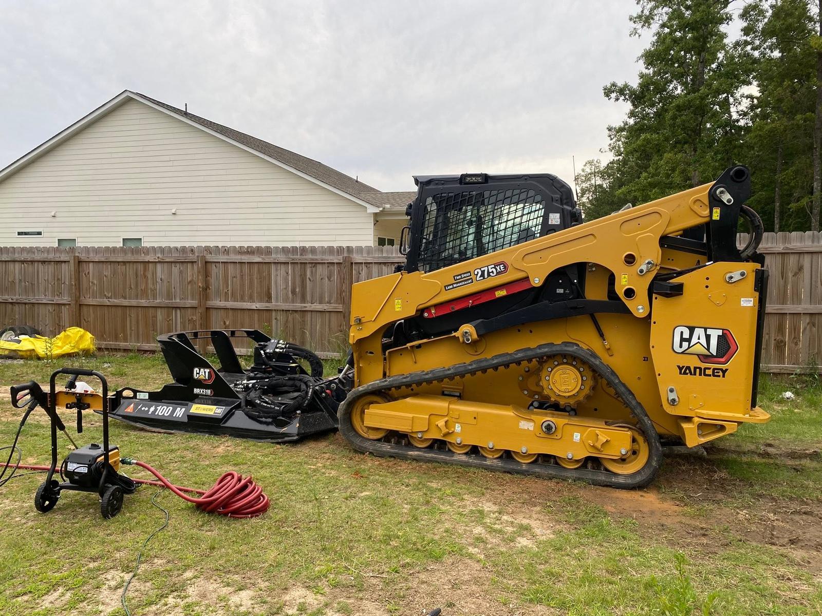
On a lot like that the plan is decided by the route in, not by the work itself. Where does a machine get off the street. Can it turn once it is behind the house. What is the drop on the low side and how close does it come to the property line. Where does the spoil sit while the cut is open, since there is frequently no staging room at all. This is compact track work with a small footprint, and where the digging gets heavier or spoil has to leave the site entirely, that becomes excavation and haul off with the truck route planned in from the start.
Cutting Level Ground Where There Is None
The most common request on a Vinings hillside is for flat ground that does not exist yet: a level spot for a patio, a parking pad, a shed, a play area, a pool cut, a widened turnaround at the top of a steep drive. That is grading and site prep, and on this ground it is really two questions. What holds the uphill face once it is cut, and where does the fill on the downhill side get keyed in so it does not creep. Neither is exotic work, but both get decided before a bucket moves, because a cut face left bare on 25 percent ground starts moving in the first hard storm and a fill placed loose over old topsoil settles for years.
Drives here are short, steep, and usually paved, so driveway and access work in Vinings tends to be about the base, the shoulder, and where the runoff crosses rather than about length. A drive dropping fifteen feet in forty is a chute, and the water coming off it has to be caught somewhere on purpose.
Taking Old Concrete Off a Tight Lot
Old walls, cracked patios, dead pool decks, and abandoned slabs are steady work here, and on a small lot the breaking is the easy half. Getting the debris out is the constraint. Demolition on a tight lot is planned around the exit route, and once the concrete is gone the ground beneath gets shaped rather than left as an open bowl, because a slab footprint on a hillside becomes a collection point.
One more thing about being unincorporated. Vinings has no city hall and no city yard, so there is nobody whose job it is to look at your slope for you. The condition of the ground on a Vinings property is entirely the property's business, which is worth knowing before a wet season rather than during one.
Slope problem, water problem, or concrete that has to come out of a tight space: (706) 936-4615 reaches John directly, and the quote form will take an address and photos. He tells you what fits and what does not before anybody books a day.