Ringgold works like a Chattanooga suburb that happens to be in Georgia. The Census puts the whole town inside the Chattanooga urban area, and Interstate 75 runs straight through the middle of it alongside US 41. The 2020 count found 3,414 people and 1,598 housing units on about five square miles. Battlefield Parkway, Alabama Highway, Chattanooga Road, Nashville Street and Salem Valley Road carry most of the local traffic, and Hackett Mill Road and Old Alabama Road run out toward the acreage. Legacy Land Care covers Ringgold from Rome, roughly 56 miles by road. Veteran owned, insured, one crew, no subcontractors sent out in place of the owner.
Five Hundred Feet of Fall Inside Five Square Miles
People call this valley country, and the valley floor is real, but the city limits do not stay on it. Sampled elevations inside Ringgold run from about 720 feet up to about 1,212. White Oak Mountain stands roughly three miles out, with The Backbone and Sand Mountain nearby on the other side. The town is not one landscape. It is a flat bottom with ridge ends folded into its own boundary.
That is why two jobs in this town can look nothing alike. A lot down near the creek and a lot partway up a ridge end are not solving the same problem, and neither is a driveway. It also explains something homeowners notice quickly here, which is that water shows up on their property from ground they do not own.
Lyerly Is the Soil to Plan Around
Roughly a quarter of the sample points inside the limits come back as Lyerly in one form or another, mapped with rock outcrop, mapped with urban land, and mapped on its own as a silty clay loam on 2 to 6 percent slopes. Lyerly is clayey residuum weathered from argillaceous limestone, rated hydrologic group D, with lithic bedrock at about 77 centimeters. It is heavy, it holds shape, and it does not take water in.
Running against it are the Minvale and Shack gravelly silt loams, together about the same share, mapped on 6 to 25 percent slopes. Those are chert soils, the flint-hard leftovers of limestone that dissolved out from underneath. Minvale drains well in group B and Shack sits a step slower in group C, and both of them fill a bucket fast and are hard on cutting edges. A cut through Minvale that looks routine on paper can run slow all day.
So the town has both problems at once: ground that sheds everything and ground that is full of rock. Which one a property has changes the plan for grading and site prep more than the size of the job does.
Then the Bottom Ground Flips It Around
Down along the channels the map changes completely. Rome silt loam sits on zero to two percent slopes and is occasionally flooded. Chenneby silt loam is rated somewhat poorly drained on the same flat grade. Etowah loam holds the terrace between them.
There is a lot of water inside these limits to justify it. Five named creeks run through town: South Chickamauga Creek carries the most channel, then Little Chickamauga Creek, Peavine Creek, Tiger Creek and Cherokee Branch. Five separate subwatersheds touch the city, with the middle of town falling in the one named for Upper South Chickamauga Creek.
The result is a town where a wet yard has two completely different causes depending on where it is. Up on Lyerly the water never went in and simply ran to the lowest point it could find. Down on Chenneby the water table itself is close to the surface and answers to the creek. The first is fixed by routing. The second is fixed by finding an outlet with fall, or by admitting there is not one and spending the money somewhere it pays. Sorting out which is which is the actual work in drainage and water control here, and yard leveling only makes sense once that question is answered.
Drives Built for Two Kinds of Ground
A drive climbing a ridge end and a drive on the flat fail in opposite ways. On the slope the surface washes, so the answer is crown, ditch and turnouts often enough that no stretch collects a damaging volume. On the bottom the surface sinks, so the answer is depth, a base that carries load, and keeping stone from working down into soft ground. Gravel driveway and access work in Ringgold means picking the right one of those two, and sometimes both on the same property.
Where a shop, a barn or an addition is going in, excavation and dirt work gets the pad above the water line and pointed the right direction.
Half the Blocks in Town Carry No Houses
Here is a number that describes Ringgold better than any adjective. The Census drew 182 blocks inside the city limits for 2020 and only 89 of them carry any housing at all. The rest is interstate corridor, commercial frontage, industrial ground and open land that has simply not been built on. The blocks that do have houses average small, with a median of six units.
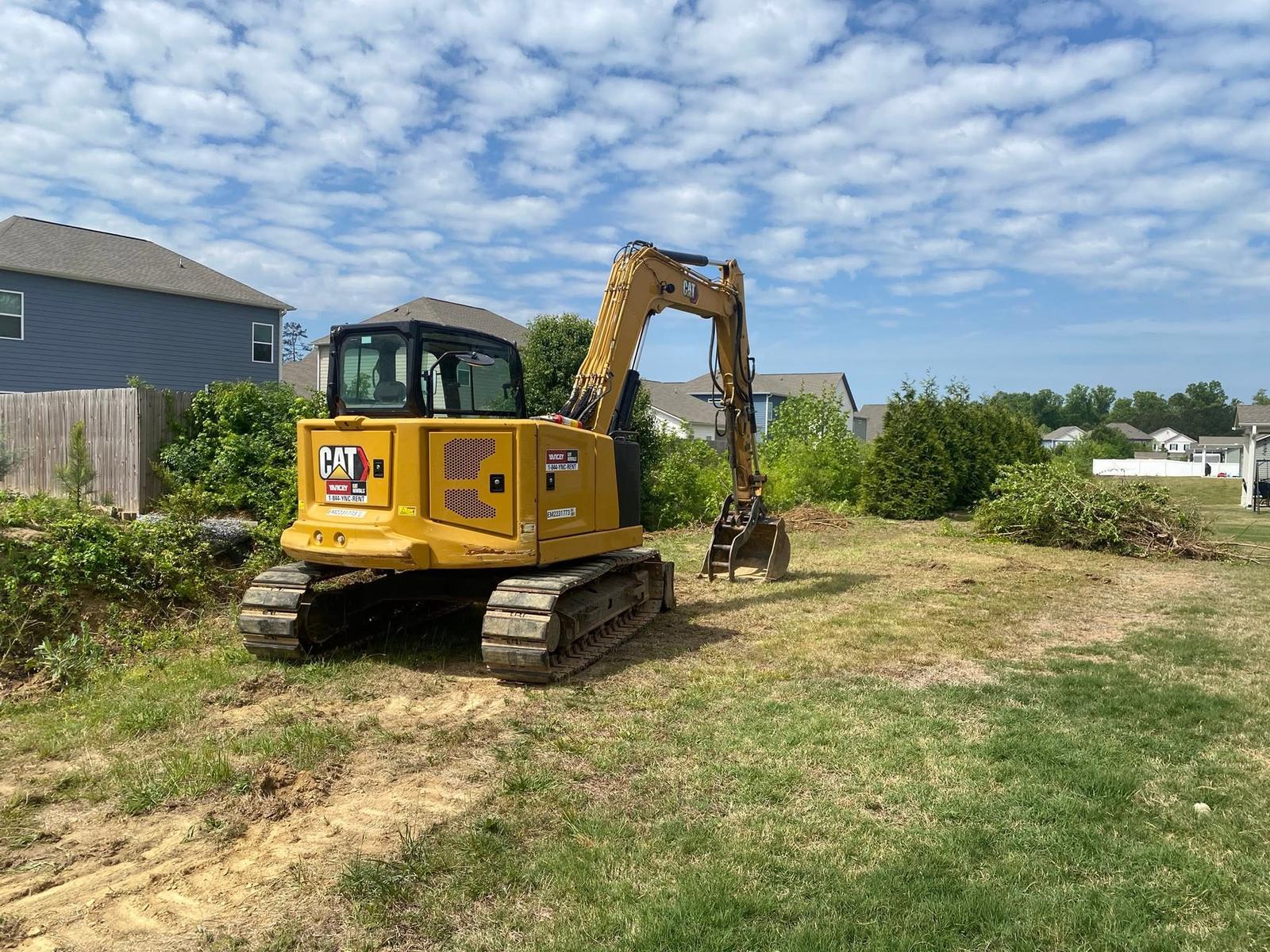
That leaves a real amount of open and half-open ground inside a town in a metro area. Some of it has grown up in privet, sweetgum and pine to the point that the property line is a guess. Land clearing takes it back where the grade allows and stumps need to leave, forestry mulching does it on the ridge shoulders where the cover ought to stay, fence line clearing puts a boundary back where you can see it, and bush hogging keeps a field from starting over.
Got a Ringgold lot that holds water, ground on a ridge end that needs opening, or a drive that will not stay put? Call or text John at (706) 936-4615, or send the details through the quote form. He walks every job before he quotes it.